We compared publicly available paranormal rumors about tunnels and caverns in Oita Prefecture, separating them into specific claims on rumor pages, publicly available documents from Nakatsu City, and location information from public geographical databases. The ranking is not based on the level of fear or the probability of paranormal activity, but rather on "verifiability," which is a sum of the source of the rumor, historical background, safety information, and the freshness of the documents. We carefully organized the information so as not to confuse what is said as a rumor with the facts that can be confirmed from public records.
Survey methods and evaluation criteria
Verifiable claims were extracted word for word from the rumor page and compared with independent administrative documents or publicly available geographical databases. The determination was as follows: "Consistency" if all claims were supported; "Partial Consistency" if supported and unconfirmed claims coexist; "Disagreement" if there were records that directly contradicted them; "Unmeasurable" if there was no data to establish a comparison; and "New Fact" if significant corrections or origins not found in the rumor were confirmed from independent sources. Matching locations or addresses alone do not constitute evidence of paranormal activity, and new facts do not necessarily prove paranormal phenomena.
| Rank | point | The main points of the rumor | judgement | Document quality |
|---|---|---|---|---|
| 1 | Blue Grotto | The rumor page describes the Blue Grotto as "a tunnel hand-carved by Zenkai Osho" and "carved out over 30 years using only chisels and hammers by employing stonemasons." It then continues, "... | Partial match | 96/100 |
| 2 | Mikuni Tunnel | The rumor page describes the Mikuni Tunnel as a long, straight tunnel known as a haunted tunnel despite its heavy traffic. Specifically, it mentions a "headless motorcycle chasing from behind..." | unmeasurable | 69/100 |
| 3 | Moisture tunnel | The rumor page describes the Mizubun Tunnel as a tunnel on National Route 210, explaining that "accidents are likely to occur because there is a sharp curve immediately after exiting the tunnel." It further states, "Late at night..." | unmeasurable | 67/100 |
1st Place: Aonodomon (Blue Grotto) | Partial Match (96 points)
The rumored details
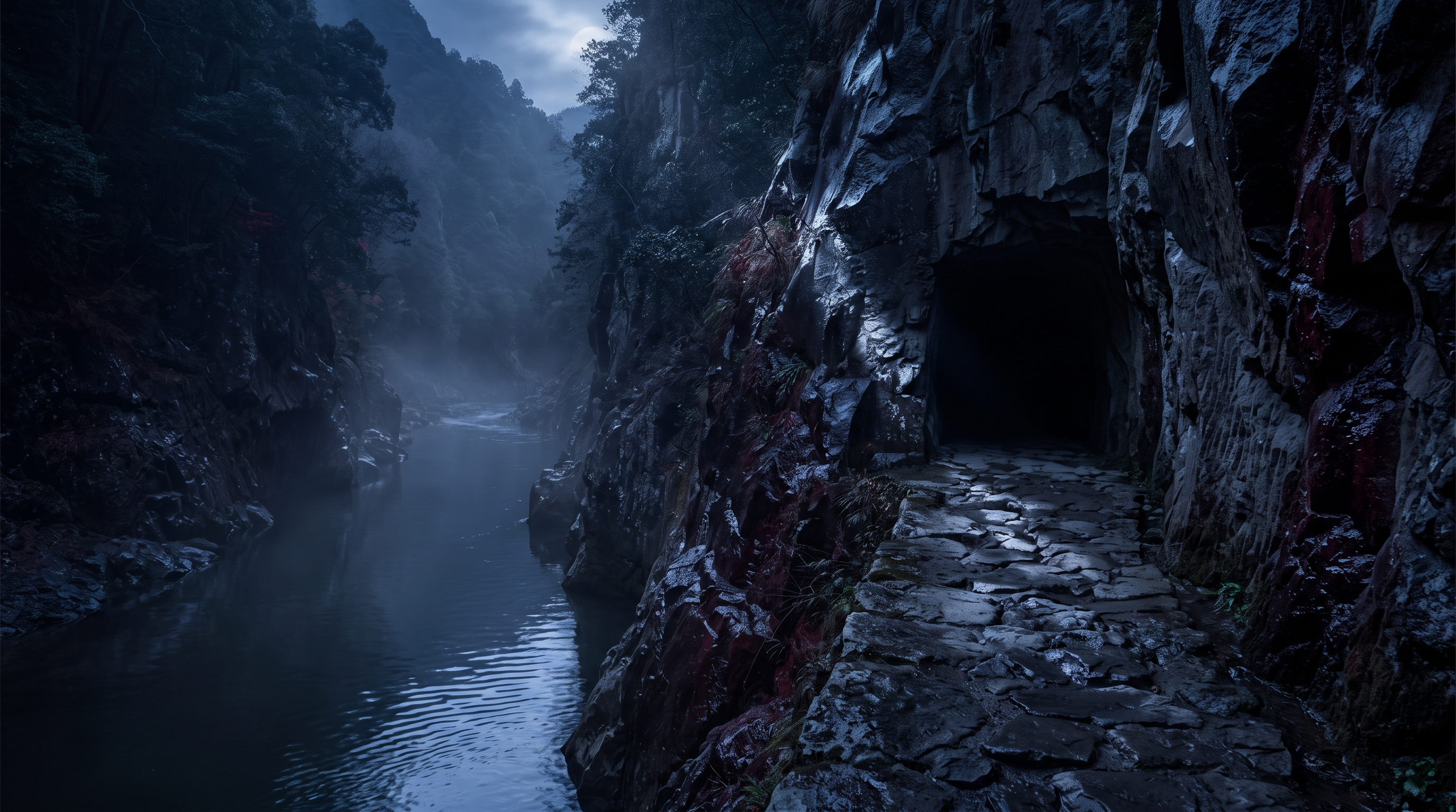
The rumor page describes the Blue Grotto as "a hand-carved tunnel by Zenkai Osho," and says that "he hired stonemasons and spent 30 years carving it out using only chisels and hammers." It then lists phenomena such as "the spirits of people who fell to their deaths appear," "white hands reach out from the river and pull at your legs," and "ghosts appear in photos taken inside the tunnel."
Source of the rumor and date of verification
We adopted the explanation published on the individual page for Aonodomon in the National Haunted Map. Because the same page contains both a historical explanation and accounts of strange occurrences, we separated each sentence and cross-referenced them individually with publicly available documents from Nakatsu City.
- Nationwide Haunted Map "The Blue Grotto"(Confirmed on 2026-09-17) — A hand-carved tunnel created by Zenkai, a Buddhist monk who visited it during his travels. It is said that he hired stonemasons and spent 30 years carving it out using only chisels and hammers. The spirits of people who fell to their deaths appear there. White hands reach out from the river and try to pull your legs. If you take a picture inside the tunnel, a spirit will appear in the photo.
Things that could be confirmed from official and primary source materials
The official Nakatsu City website describes the Aonodomon cave as a 342-meter-long tunnel that was started in 1735 by Zenkai, a Buddhist monk, who worked with hired stonemasons using chisels and hammers until it was completed in 1764. The historical context of approximately 30 years of excavation and hand-digging matches the rumors on the website. However, the same document does not contain any records to support the claims of fatal falls, a white hand reaching out from the river, or unusual appearances in photographs. The publicly available geographical data confirms the road center coordinates of the Aonodomon cave as 33.4990913 degrees North latitude and 131.1726343 degrees East longitude.
- "Blue Grotto" in Nakatsu City, Oita Prefecture(Confirmed on 2026-09-17) — Zenkai, the monk, raised funds through alms-begging and, together with the stonemasons he hired, continued digging with only chisels and hammers. After more than 30 years, in the first year of the Meiwa era (1764), the tunnel was completed, measuring 342 meters in length (of which the tunnel portion is 144 meters).
- OpenStreetMap Nominatim search results (Blue Grotto)(Verification Date: 2026-09-17) — “lat”: “33.4990913”, “lon”: “131.1726343”, “category”: “highway”, “type”: “tertiary”, “name”: “Aonodomon”, “display_name”: “Aonodomon, Honyabakeimachi-Hida, Nakatsu, Oita Prefecture, Japan”
Points of agreement/contradictions
Nakatsu City documents support the fact that Zenkai Osho excavated the river, that he used chisels and hammers with stonemasons, and that it took approximately 30 years to complete. However, the legend that people and horses lost their lives crossing the dangerous chain bridge does not lead to the conclusion that specific victims appear or that white hands reach out from the river. If we separate the historical origin from the claims of supernatural occurrences, only the former can be confirmed.
| The rumored atomic claim | Matching results | reason | Corresponding documents |
|---|---|---|---|
| A tunnel carved by Zenkai, the monk. | support | Because official documents from Nakatsu City record that the cave was dug by Zenkai, a Buddhist monk, using stonemasons, chisels, and hammers. | "Blue Grotto" in Nakatsu City, Oita Prefecture |
| He hired stonemasons and spent 30 years carving it out using only chisels and hammers. | support | According to official documents from Nakatsu City, the construction took over 30 years, from its initial proposal in 1735 to its completion in 1764, and describes the excavation process using stonemasons, chisels, and hammers. | "Blue Grotto" in Nakatsu City, Oita Prefecture |
| The spirit of a person who fell to their death appears. | Unconfirmed | Historical records from Nakatsu City describe legends of people and horses losing their lives in dangerous, treacherous areas, but they do not show any records confirming the occurrence of fatalities. | No official data available for direct comparison. |
| A white hand reaches out from the river and pulls at my leg. | Unconfirmed | The administrative documents and publicly available geographical data reviewed do not contain any information to support the date, time, observation records, or accident records of this phenomenon. | No official data available for direct comparison. |
Alternative interpretation
Reflected light along the river, the sound of flowing water, visual supplementation in dark areas, and the shadows cast by hand-dug sections aged over many years can all contribute to an unsettling impression or misinterpretation. However, these do not definitively explain the cause of individual sightings and are merely possible explanations based on the environment.
Scope and limitations of the investigation
The Nakatsu City documents are records that confirm the history of the excavation and its location, and are not survey records that continuously observed nighttime perceptual experiences. The rumor page also does not contain any re-verifiable reports with dates, observation conditions, or original records, so the authenticity of the strange occurrences cannot be determined.
Verification results: Partial match
The historical claims about the Aonodomon cave—that it was excavated by Zenkai, that stonemasons participated, and that the construction took approximately 30 years—were supported by Nakatsu City documents. However, the appearance of fatal falls, a white hand reaching out from the river, and unusual reflections could not be confirmed by independent sources. Therefore, we determined that there was a partial agreement only in the extent to which the supported specific history and the unconfirmed strange occurrences coexist.
Document Quality Score
| Source transparency | 29/30 | The individual pages about rumors, historical documents about Nakatsu City, and publicly available geographical data showing coordinates can be presented separately from each other. |
|---|---|---|
| Historical and spatial context | 25/25 | The year of application, completion year, construction period, extensions, and changes due to renovations can all be confirmed in detail from Nakatsu City documents. |
| Safety information | 17/20 | While location and facility information for tourist spots are available, specific conditions at night and regulations on the day cannot be fixed. |
| Newness of information | 15/15 | All URLs were directly retrieved on the specified verification date, and the currently published text was compared with them. |
| Transparency of the source of rumors | 10/10 | Each individual rumor page clearly states both historical and supernatural claims, and can be divided into citation units for comparison. |
| total | 96/100 | This is the overall quality of the materials. It does not represent the degree of truthfulness or danger associated with the supernatural phenomena. |
Safety information and maps
While the Aonodomon Grotto is a tourist attraction, it is located along the river and borders a road. Do not park on the road or obstruct traffic for nighttime inspection purposes. Prioritize local regulations, weather conditions, flooding, and instructions from administrators, and do not enter closed areas or restricted zones.
Map location: Uses the center coordinates of road element way 114773252 from publicly available geographic data.
2nd Place: Mikuni Tunnel | Measurement Undetermined (69 points)
The rumored details
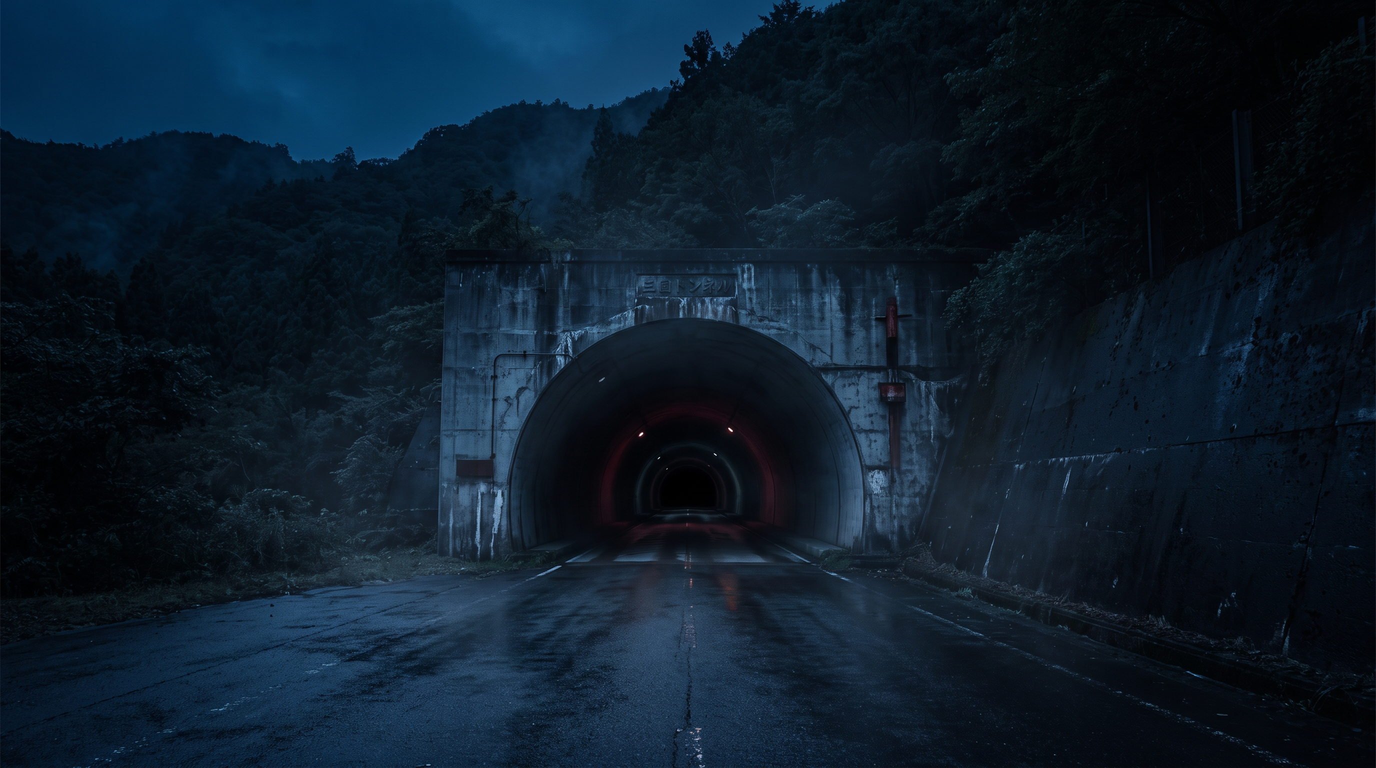
The rumor page describes the Mikuni Tunnel as a long, straight tunnel known as a haunted tunnel despite its heavy traffic. Specifically, it lists two strange occurrences while driving through it: "a headless motorcycle chasing you from behind" and "an empty car approaching from the opposite lane."
Source of the rumor and date of verification
I referred to the explanation posted on the individual page for Mikuni Tunnel on the National Haunted Map website. The page compiles user-submitted rumors, but it does not provide original sources such as the date and time of occurrence, vehicle records, or police documents for the two strange occurrences.
- Nationwide Haunted Map: "Mikuni Tunnel"(Confirmed on 2026-09-17) — The tunnel is almost straight, but its long distance and the frustration of not being able to reach the exit may be what fuels the fear. There are rumors of a headless motorcycle chasing you from behind, and an empty car approaching from the opposite lane.
Things that could be confirmed from official and primary source materials
The search results in the public geographic database show a tunnel element named "Mikuni Tunnel" registered on National Route 326, with center coordinates of 32.9060999 degrees North latitude and 131.6072785 degrees East longitude. This record can be used to identify a location and road, but it does not record the appearance of a headless motorcycle, an unmanned vehicle, or a man. The search results show Bungo-Ono, while the rumor page uses Saiki City as the name; however, since the possibility that the tunnel's alignment extends near the administrative boundary cannot be ruled out, it was not determined to be a direct mismatch of addresses.
- OpenStreetMap Nominal Search Results (Mikuni Tunnel)(Verification Date: 2026-09-17) — “osm_id”: 114090286, “lat”: “32.9060999”, “lon”: “131.6072785”, “category”: “tunnel”, “name”: “Mikuni Tunnel”, “display_name”: “Mikuni Tunnel, National Route 326, Bungo-Ono, Oita Prefecture, Japan”
Points of agreement/contradictions
The name of the Mikuni Tunnel, its location on National Route 326, and its coordinates can be confirmed using publicly available geographical data. However, the matching of the name and road does not constitute evidence of a supernatural occurrence. Regarding the headless motorcycle that was pursuing them and the unmanned vehicle approaching from the opposite lane, no independent public records, dated reports, or verifiable observational data could be found.
| The rumored atomic claim | Matching results | reason | Corresponding documents |
|---|---|---|---|
| A headless motorcycle is chasing me from behind. | Unconfirmed | Publicly available geographic data only shows the tunnel name and coordinates, and does not contain any information to record or verify this tracking phenomenon. | No official data available for direct comparison. |
| An empty car is approaching from the opposite lane. | Unconfirmed | The publicly available documents reviewed do not show the date and time of the unmanned vehicle incident, traffic records, accident records, or independent observation reports. | No official data available for direct comparison. |
Alternative interpretation
In long tunnels, reverberations, the sound of approaching vehicles, the lights of oncoming vehicles, and changes in distance perception can be perceived more strongly than on normal roads. Fatigue and dark adaptation can also affect the appearance of vehicle outlines and visibility from the driver's seat, but there is no evidence to definitively determine which factors gave rise to individual rumors.
Scope and limitations of the investigation
Publicly available geographical data is intended to confirm locations and road types, and is not a record of traffic volume, accidents, or paranormal activity. The rumor page also lacks the date and observation conditions of the original report, so comparing the specific claims already obtained with the publicly available records does not constitute support or counter-evidence.
Verification result: Unmeasurable
While the location of the Mikuni Tunnel could be identified using publicly available geographical data, no supporting or direct refuting evidence was found regarding the appearance of the headless motorcycle and the unmanned vehicle, which were used as points of comparison. Therefore, instead of considering the location matching as merely partial, the two claims of paranormal activity were deemed indeterminate.
Document Quality Score
| Source transparency | 24/30 | It is possible to separately obtain publicly available geographical data that identifies individual pages related to rumors and locations, and to clearly define their roles. |
|---|---|---|
| Historical and spatial context | 8/25 | While information about roads and locations can be confirmed, administrative documents explaining the construction year or renovation history are not available. |
| Safety information | 12/20 | It is clear that this is an active tunnel on National Route 326, but it does not include information about traffic restrictions on that day. |
| Newness of information | 15/15 | The rumor page and publicly available geographical data are retrieved directly on the specified verification date, and the current response content is used. |
| Transparency of the source of rumors | 10/10 | The two supernatural phenomena are presented in clear sentences, allowing for their extraction without ambiguity in the scope of analysis. |
| total | 69/100 | This is the overall quality of the materials. It does not represent the degree of truthfulness or danger associated with the supernatural phenomena. |
Safety information and maps
The Mikuni Tunnel is registered as an active tunnel on a national highway. Do not slow down, stop, walk, or turn around to verify rumors, as this will create a serious traffic hazard. Road administrator regulations and normal traffic rules take precedence.
Map location: Uses the center coordinates of tunnel element way 114090286 from publicly available geographic data.
3rd Place: Moisture Tunnel | Measurement Unable to Determine (67 points)
The rumored details
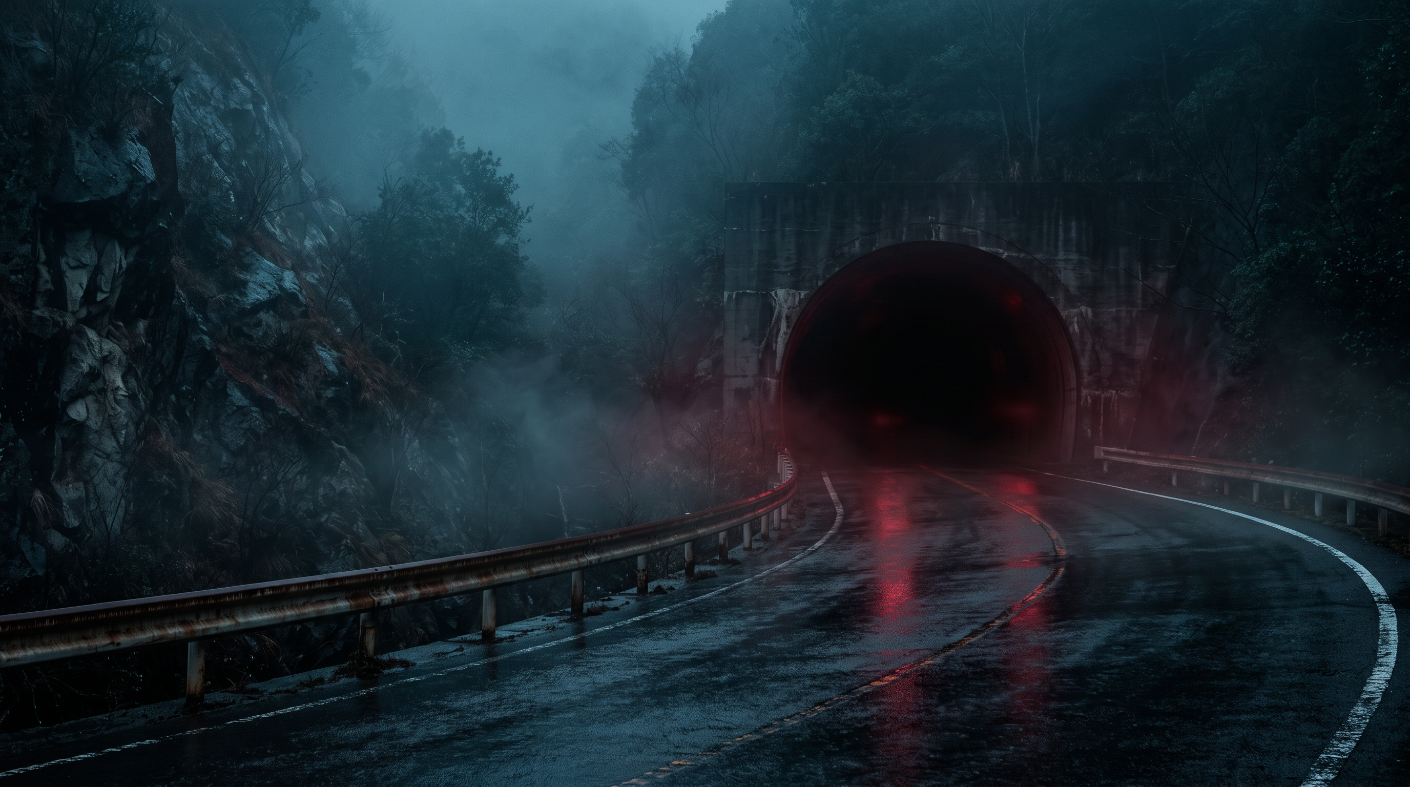
The rumor page describes the Mizuwake Tunnel as a tunnel on National Route 210, explaining that "accidents are likely to occur because there is a sharp curve immediately after exiting the tunnel." Furthermore, it states that "the ghost of a woman in a red dress has been sighted late at night," adding the impression that it is an even more eerie place than Mizuwake Pass.
Source of the rumor and date of verification
I referred to the description on the individual page for the Suibun Tunnel on the National Haunted Map. It lists sharp curves, the likelihood of accidents, and late-night sightings in a continuous stream, but it does not include external references to accident statistics or dated sighting records.
- National Haunted Map: "Mizubun Tunnel"(Confirmed on 2026-09-17) — Mizuwake Tunnel on National Route 210. The words "Mizuwake Tunnel" are written on the top of the tunnel. There is a sharp curve immediately after exiting the tunnel, making it prone to accidents. A female ghost in a red dress has been sighted late at night.
Things that could be confirmed from official and primary source materials
There are multiple entries with the same name, "Mizubun Tunnel," in the public geographic database. Since the rumor page specifically mentions National Route 210, we targeted way 50887145 registered on that road and confirmed its central coordinates as 33.2487953 degrees North latitude and 131.2939539 degrees East longitude. While this search result shows the name, road, and coordinates, it does not support the claims of frequent accidents immediately after a sharp curve, the appearance of a woman in red clothing, or unusual occurrences at night. To avoid confusion with entries with the same name, search results on the Beppu-Ichinomiya Line were not included in the map coordinates.
- OpenStreetMap Nominatim search results (Moisture Tunnel)(Verification Date: 2026-09-17) — “osm_id”: 50887145, “lat”: “33.2487953”, “lon”: “131.2939539”, “category”: “tunnel”, “name”: “Mizubun Tunnel”, “display_name”: “Mizubun Tunnel, National Highway 210, Yufu, Kusu County, Oita Prefecture, Japan”
Points of agreement/contradictions
The existence of the Suibun Tunnel on National Route 210 is confirmed by publicly available geographical data and rumors on the web. However, this is merely a coincidence in location identification. The search results do not allow us to determine the road shape immediately after the exit or the frequency of accidents, and there is no independent record of the eyewitness account of the woman in red clothing, so both claims remain unconfirmed.
| The rumored atomic claim | Matching results | reason | Corresponding documents |
|---|---|---|---|
| There is a sharp curve immediately after exiting the tunnel, making it prone to accidents. | Unconfirmed | The search results from publicly available geographic data only show the central coordinates and road names, and do not include statistics to support the shape immediately after the exit or the frequency of accidents. | No official data available for direct comparison. |
| A female ghost wearing a red dress has been sighted late at night. | Unconfirmed | The publicly available documents reviewed lacked date, time, observation conditions, and eyewitness reports accompanied by third-party records, making comparison impossible. | No official data available for direct comparison. |
Alternative interpretation
If the description in the post about a sharp curve is correct, then headlights, taillights at night, reflections from a wet road surface, and changes in visibility on a mountain road could potentially affect the red image and sense of distance. However, since there are no observational records linking the road shape to individual eyewitness accounts, the cause cannot be definitively determined.
Scope and limitations of the investigation
A Nominatim search returned multiple tunnels with the same name, so the search was narrowed down to National Route 210 as mentioned in the rumors. The publicly available records obtained did not include the number of accidents, the curvature of the exit, or nighttime observation records, and the rumor page did not indicate the original source, so no further speculation was made.
Verification result: Unmeasurable
Although the location of the Mizubun Tunnel on National Route 210 could be confirmed, no comparable statistics indicating a high accident rate, nor any independent records supporting or denying the appearance of a woman in red clothing, could be found. The correspondence between the location name and the road was not counted as evidence of a paranormal phenomenon, and the two specific claims were deemed immeasurable.
Document Quality Score
| Source transparency | 24/30 | We checked the individual pages of the rumored locations and publicly available geographical data that returned multiple candidates, and narrowed down the target by road name. |
|---|---|---|
| Historical and spatial context | 7/25 | While the name and location on the road can be confirmed, there is no documentation to support this claim regarding the construction history or renovation history. |
| Safety information | 12/20 | While the location can be identified as an active location on National Route 210, accident statistics and road closure information for that day were not obtained. |
| Newness of information | 15/15 | On the designated verification date, the rumor page and publicly available geographical data were obtained directly, and old verification results were not reused. |
| Transparency of the source of rumors | 9/10 | The claims of a sharp curve, an accident, and a late-night sighting are mentioned, but the original sources for each are not provided. |
| total | 67/100 | This is the overall quality of the materials. It does not represent the degree of truthfulness or danger associated with the supernatural phenomena. |
Safety information and maps
The Mizubun Tunnel is registered as an active location on National Route 210. Regardless of road conditions near the exit, avoid stopping, walking, slowing down or turning around inside or outside the tunnel for photography purposes, and obey weather and road administrator regulations.
Map location: The search result for National Highway 210, way 50887145, uses the center coordinates, excluding other routes with the same name.
What I learned by crossing locations
At Aonodomon, historical records from Nakatsu City confirmed the claim that it was excavated by Zenkai Osho and that the construction took approximately 30 years. However, no reports of fatal falls or white hands reaching out from the river were found, resulting in a partial agreement. While the names, roads, and coordinates of Mikuni Tunnel and Mizuwake Tunnel could be identified using publicly available geographical data, no official records were available to verify the core aspects, such as the unmanned vehicle, the headless motorcycle, the woman in the red dress, and the frequent accidents. Therefore, the existence of the locations and the veracity of the paranormal claims were separated, and the latter was deemed immeasurable.
summary
This comparison confirmed the history of the Aonodomon tunnel's construction and publicly available information identifying the three locations. While the historical background of the Aonodomon tunnel aligns with administrative records, it does not corroborate the eyewitness accounts and occurrences of strange phenomena reported in various locations. Similarly, the existence of the Mikuni Tunnel and Mizuwake Tunnel on maps does not necessarily mean that the rumors are factual. Rumors should not be read without obstructing traffic or engaging in dangerous activities at night for the purpose of on-site verification, and their sources and scope of investigation should be carefully considered.
FAQ
Is this ranking based on how scary it is?
This isn't about how scary it is or the probability of paranormal phenomena occurring. Instead, it scores the source of the rumor, publicly available documents, historical information, safety information, and the recency of the verification date, and then ranks them in order of ease of verification by a third party.
Does "unmeasurable" mean the rumor is true?
This means that it cannot be definitively determined whether something is fact or false. Even if the existence of a location can be confirmed on a map, it becomes impossible to measure without independent evidence to support eyewitness accounts or the occurrence of strange phenomena.
Can I use the map provided for exploring the area?
Maps are for location identification purposes only and do not recommend nighttime exploration or stopping on roads. Prioritize traffic restrictions, guidance from facility managers, and traffic conditions, and do not enter private property or restricted areas.
How to read this article and safety precautions
" [2026 Latest] Top 3 Ranking of Ghostly Rumors in Tunnels in Oita Prefecture This is an article compiled by the Horror Tales File editorial team as a story, based on publicly available information, rumors circulating in the community, and information submitted by readers. It does not definitively state the authenticity of paranormal phenomena.
- We do not recommend visiting restricted areas, private property, abandoned buildings, or dangerous locations at night.
- If you go to the site, always prioritize compliance with laws and regulations, instructions from facility managers, and consideration for nearby residents.
- You can submit personal experiences, correction requests, and deletion requests through the "Personal Experiences/Information Submission" or "Contact Us" sections.
View editorial policy / Please share your experiences and information here. / inquiry