Voices near the tent, an old man on the suspension bridge, a funeral procession on a rainy night. The descriptions of Lake Kameyama, Toyofusa Dam, and Gun Dam feature different scenes of the waterfront. The Kimitsu City guide explains the use of the lake and the role of the dams. However, the official guide for Gun Dam at the time of preservation states that the surrounding walking trails are closed. Before comparing rumors with facility information, it's important to note this restriction as separate, reliable information.
Survey methods and evaluation criteria
The introductory text of the National Haunted Map and the individual tourist information for Kimitsu City were compared on November 10, 2026. This is not a record of on-site experiences or sightings. Matches, partial matches, and discrepancies indicate the correspondence between claims and materials, while "unmeasurable" indicates a lack of comparable records. New facts are judged when significant supporting evidence beyond rumors is obtained. Traffic information should be read as it was at the time of preservation. Rankings and scores are editorial evaluations comparing the quality of materials on five axes, and do not represent rankings of fear or danger.
| Rank | point | The main points of the rumor | judgement | Document quality |
|---|---|---|---|---|
| 1 | County Dam | The entry for Gun Dam in the nationwide paranormal map includes a story, told by the mother's friend, about seeing "a funeral procession of over ten people" on a rainy night. The text also states, "In the past, there were motorcycle accidents involving young people..." | unmeasurable | 91/100 |
| 2 | Kameyama Dam | The entry for Lake Kameyama in the "National Haunted Site Map" mentions a story of a man camping there who "heard a man and a woman talking in the middle of the night," but "couldn't find any figures resembling them" when he came out of his tent. | unmeasurable | 82/100 |
| 3 | Toyofusa Dam | The article on the Toyofusa Dam in the nationwide paranormal map mentions rumors of an "old man's ghost appearing" there. It also states that "a small altar has been erected," speculating on a possible connection to the accident… | unmeasurable | 74/100 |
1st Place: Gun Dam | Measurement Undetermined (91 points)
The rumored details
The entry for Gun Dam in the National Haunted Map includes a story, told by the mother's friend, about seeing a "funeral procession of over ten people" on a rainy night. The text also mentions that "motorcycle accidents involving young people were rampant in the past," but it doesn't specify the number of accidents or when they occurred. The funeral procession scene and the background of the frequent accidents are not combined into a single confirmed event.
Source of the rumor and date of verification
This account uses text from the "National Haunted Map" section describing the county dam. It is written as a story told by the narrator's mother's friend, not based on the narrator's own eyewitness account. While there are descriptions of the family's choices when traveling, the date and time of the sighting, the road section, and accident statistics were not independently verified from this information.
- National Haunted Map: Gundam(Confirmed on 2026-11-10) — Paranormal phenomena rumored to occur at Gun Dam
A female ghost appears
The road along the dam has many sharp curves, and in the past, there were frequent motorcycle accidents involving young people. Perhaps the spirits of those people still wander here, because one of my mother's friends saw a funeral procession of about a dozen people walking along the edge of the road with their heads down and no umbrellas when she drove past here one rainy night on her way home from work. My mother is sensitive to spirits and said that she never drives through here at night and always takes a long detour on her way home.
Check if there are ghosts nearby
Things that could be confirmed from official and primary source materials
The Kimitsu City announcement, updated on September 30, 2026, clearly states at the beginning that the walking trail around the Gun Dam is temporarily closed due to landslides caused by Typhoon No. 25. The facility is an industrial dam completed in 1972, and the system by which water is supplied from the Minatogawa water intake in Futtsu City via a water conduit is also explained. Even if there is a description of walking later in the announcement, it is necessary to read the current closure notice first.
- Kimitsu City Economic Development Division, Tourism Promotion Section(Confirmed on 2026-11-10) — Main text Gun Dam *Surrounding walking trails are closed Show printable page Published: Updated September 30, 2026 *Surrounding walking trails are closed The walking trails around Gun Dam are closed for the time being due to landslides caused by Typhoon No. 25. Gun Dam Gun Dam The walking trail leads to a forest road, where you can enjoy the changing seasons and the sounds of birds around the dam Gun Dam Completion Memorial The walking trail surrounding the dam is about 3km long and takes about 50 minutes to complete. Gun Dam is an industrial dam completed in 1972, and water is sent from the Minatogawa intake facility in Futtsu City via a water conduit of about 10km. The water that is stored is released during the dry season, flows through the Gun River and Egawa River, joins the Koito River, is purified at the Hitomi Water Treatment Plant, and used as industrial water. A walking path surrounds the dam, and as you stroll along the quiet forest path, the sounds of various wild birds can be heard from somewhere, creating a natural ambient music and allowing you to enjoy a peaceful and relaxing time amidst the refreshing scent of the forest. There is also a tourist information center for Mt. Mifune about a 5-minute drive away. On a sunny day, why not enjoy the different atmospheres of the waterside and the mountain forest path? Address 878 Kori, Kimitsu City Show map <External link> Inquiry phone 0439-56-1325 (Kimitsu City Economic Department Economic Promotion Division Tourism Promotion Section) HP link None Train Get off at Kimitsu Station on the JR Uchibo Line Bus From the south exit of Kimitsu Station, take the Community Bus Koitogawa Loop Line (inbound) and get off at Tsunashiro bus stop, then walk for 30 to 40 minutes Car From Kimitsu IC, take Route 92 towards Kimitsu city center, via National Route 127 Kori, and Route 298 towards Futtsu Cape. Estimated travel time: 15 minutes Parking: Approximately 50 cars; free parking Large buses: Yes Barrier-free access: None English support: Not available Remarks: For safety reasons, entry is prohibited inside the fence surrounding the dam. Fishing, boating, and swimming are prohibited as they involve unexpected dangers. The walking trail is a forest path that preserves the surrounding nature. *There are signs warning of snakes, wild boars, etc. Please wear appropriate clothing for mountain walking, such as long-sleeved shirts, long pants, and hiking boots. There is a simple toilet in the open area opposite the dam parking lot. There are no vending machines for drinks nearby. The nearest convenience store is about 3 to 5 minutes away by car. Contact information for this page: Economic Promotion Division, Tourism Promotion Section 2-13-1 Kubo, Kimitsu City, Chiba Prefecture Tel: 0439-56-1698 Fax: 0439-56-1314 Click here to contact us by email
Points of agreement/contradictions
The rumor describes a scene on a road used by cars, while the city's restrictions apply to the surrounding walking paths. It's incorrect to confuse these two areas and conclude that the entire road is closed or that the walking paths are accessible. While the industrial water supply system can be verified, it doesn't provide evidence to support claims of a funeral procession or a high number of past motorcycle accidents.
| The rumored atomic claim | Matching results | reason | Corresponding documents |
|---|---|---|---|
| A funeral procession of about a dozen people | Unconfirmed | This information comes from my mother's friend, and there are no records to independently compare the road section, date, time, or sightings. | No official data available for direct comparison. |
| In the past, motorcycle accidents involving young people were rampant. | Unconfirmed | The statistics and source materials that show the timing and number of cases are not used, and the frequency cannot be determined from the city's facility guide either. | No official data available for direct comparison. |
Alternative interpretation
Comparing sightings on a rainy night requires records of the road section, time, light, visibility, and any companions. Without these records, the true nature of what appeared to be a procession cannot be determined. This case is not an explanation based on other passersby or rain reflections, but rather a conclusion that there is insufficient material to verify the hearsay.
Scope and limitations of the investigation
We have compared the city's individual announcements with the text of the rumors. Road accident statistics, eyewitness accounts, and original testimonies about funeral processions have not been included. Information regarding the closure of the walking path is based on the information posted at the time of saving and has not been verified through on-site confirmation or after the closure was lifted.
Verification result: Unmeasurable
While the water usage system and the restrictions on the walking paths are described, there are no records comparing the frequency of funeral procession sightings with the frequency of accidents. These two claims are immeasurable. The existence of other safety information, such as traffic restrictions, is not evidence of the rumors' validity or the overall condition of the road.
Document Quality Score
| Source transparency | 30/30 | You can find information about areas and facilities that are closed to traffic on the same page in the individual guide provided by Kimitsu City. |
|---|---|---|
| Historical and spatial context | 24/25 | The completion year and the water diversion mechanism are clear, but the rumored location on the road and the history of accidents remain unconfirmed. |
| Safety information | 19/20 | The notice clearly states that the surrounding walking paths are closed and explains the reason, making it easy to distinguish which areas are subject to the restrictions. |
| Newness of information | 14/15 | The update date is September 30, 2026, allowing you to check the traffic information as it was at the time of saving. |
| Transparency of the source of rumors | 4/10 | We know the route of the hearsay and the setting of a rainy night, but the original testimony and the date and time remain unconfirmed. |
| total | 91/100 | This is the overall quality of the materials. It does not represent the degree of truthfulness or danger associated with the supernatural phenomena. |
Safety information and maps
As of the time of saving, Kimitsu City's information indicates that the surrounding walking trails are closed. Do not rely on old walking guides or rumored routes; please check the city's latest information regarding whether the restrictions have been lifted. The representative pin on the map also indicates that access to the walking trails and waterfront is not permitted.
Map location: This is a representative location of facilities and terrain. It does not indicate sighting locations, land divisions, entrances, or accessible areas.
2nd Place: Kameyama Dam | Measurement Undetermined (82 points)
The rumored details
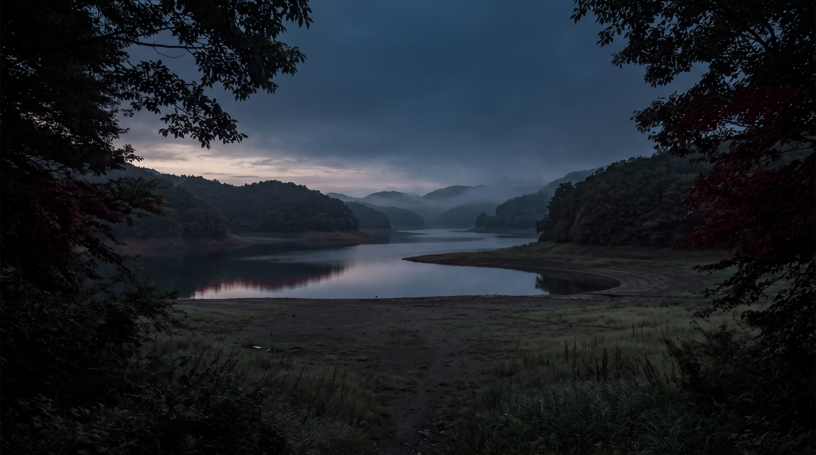
The description of Lake Kameyama in the "National Haunted Map" includes a story about a man camping there who "heard a man and a woman talking in the middle of the night," but "couldn't find any figures resembling them" when he came out of his tent. The story takes place at the reservoir of the Kameyama Dam, but the specific section of the lakeshore where it happened is not clear from the text alone. The fact that he heard voices and didn't see anyone cannot be directly considered proof of the existence of a supernatural entity.
Source of the rumor and date of verification
The source I referenced was the description of Lake Kameyama in the National Haunted Map. While it describes an incident during a camping trip, there are no direct accounts from the person who experienced it, no references to the facilities used, dates, or recordings. I have taken care not to confuse the story told by the person who introduced the location with my own experience there.
- National Haunted Map: Kameyama Dam(Confirmed on 2026-11-10) — Paranormal phenomena rumored to be occurring at Lake Kameyama
A male ghost appears
I can hear a voice
A human figure can be seen.
The reservoir of the Kameyama Dam. Despite being a large lake, there are few anglers or campers, and it becomes quite eerie at night. Because so many bodies have been found in this lake, and there have been cases of body dumping, there is a Jizo statue on the lakeshore.
In one story, a man who was camping heard a man and a woman talking in the middle of the night. He came out of his tent to check if someone was nearby, but couldn't find anyone, and spent the night feeling frightened.
It's a well-known haunted spot not only locally but also in other prefectures.
Check if there are ghosts nearby
Things that could be confirmed from official and primary source materials
According to the Kimitsu City guide, Kameyama Dam is a multi-purpose dam located upstream of the Obitsu River, completed in March 1981. Kameyama Lake is the reservoir created by the dam, and fishing, boating, and nearby campgrounds and lakeside parks are also introduced. The address listed is for the Kameyama Tourist Information Center Yasuragi-kan. While it is clear that the lakeside is used, this information does not indicate the location of the rumored tent or the sounds heard that night.
- Kimitsu City Economic Development Division, Tourism Promotion Section(Verification Date: 2026-11-10) — Main Text Lake Kameyama and Kameyama Dam Show printable page Publication Date: Updated April 1, 2025 Lake Kameyama and Kameyama Dam Lake Kameyama in autumn foliage season Kameyama Dam is located upstream of the Obitsu River and was completed in March 1981 after 10 years of construction starting in 1971. It is the first and largest multi-purpose dam in Chiba Prefecture. Lake Kameyama, the reservoir created by the dam, shows beautiful scenery in every season. Visitors can enjoy cycling and hiking around the 25 bridges, boating at boathouses located in various places around the area, and fishing. Campgrounds and lakeside parks are also available, making it an ideal place to enjoy nature. The natural environment of Lake Kameyama and the dam has been designated as a 20th-century heritage that Kimitsu City wants to pass on to future generations. The orange arch of the "Iwanoue Bridge" Kameyama Dam View from Kameyama Lakeside Park (Tsukige area) Observation bench at Kameyama Lakeside Park (Kawamata area) The Kameyama Lake Festival is held every year in late September, and the fireworks display at night is a popular event where extra-large fireworks light up the sky and the surface of the lake, and it is crowded with people every year, filling the road on the top of the dam. In autumn, the Kameyama Autumn Festival is also held, where you can enjoy hiking around Lake Kameyama and sightseeing boat tours of the autumn leaves from the lake. There are plenty of hotels and hot springs around Lake Kameyama. A train journey on the JR Kururi Line will also be a relaxing time. Please come and visit Lake Kameyama and experience the spacious and liberating feeling. Address: 8 Kyu-Kawamata, Kawamata, Kimitsu City (Kameyama Tourist Information Center Yasuragi-kan) View Map <External Link> Inquiry Phone: 0439-39-2535/0439-39-2969 Kameyama Tourist Information Center Yasuragi-kan Reception Hours: 10:00 to 15:00 Closed: Wednesdays, New Year holidays Website Link: Kimitsu City Tourism Association Kameyama Branch <External Link> Train: Get off at Kazusa-Kameyama Station on the JR Kururi Line. It's about a 7-minute walk to the Kameyama Tourist Information Center (Yasuragi-kan). Car: From Kisarazu East IC, take the Kururi Road towards Kamogawa, via Route 465. Approximately 30 minutes to Kameyama Tourist Information Center Nearest Parking Kameyama Tourist Information Center Yasuragi-kan Parking: Approximately 20 spaces: Free parking Large bus accessible Yes Barrier-free access: None English support: Not available Remarks The Kimitsu Citizens' Fireworks Festival, held annually in late September, features approximately 2,500 fireworks that illuminate the night sky and the lake. In late November, the Autumn Festival is held during the autumn foliage season, and the view of the autumn leaves from a boat on the lake is spectacular. Contact information for this page Economic Promotion Division, Tourism Promotion Section 2-13-1 Kubo, Kimitsu City, Chiba Prefecture Tel: 0439-56-1698 Fax: 0439-56-1314 Click here to contact us by email
Points of agreement/contradictions
Even if the city's documents include information about the campsite, it's not possible to confirm exactly where the man in the article stayed. The main location of the lake, the tourist information center, and individual campsites are all separate entities. We need to distinguish between the fact that the lakeside is used and the events in which the story was heard, and we won't consider it a partial match simply because the place names match.
| The rumored atomic claim | Matching results | reason | Corresponding documents |
|---|---|---|---|
| I heard a man and a woman talking in the middle of the night. | Unconfirmed | There are no recordings or observation dates, and the city's user guide cannot be used to verify the events of the voices that night. | No official data available for direct comparison. |
| No one resembling that person was to be seen. | Unconfirmed | We don't know the visibility, lighting, or the area that was checked at the time, so we can't compare the situation to when the subject was not visible. | No official data available for direct comparison. |
Alternative interpretation
Comparing voice recordings requires information on sound direction, distance, recording conditions, and surrounding environment. The explanation that the person was not visible also depends on visibility and lighting conditions. In this case, all of these factors remain unclear, and we have not concluded that they could be explained by other users' voices or echoes.
Scope and limitations of the investigation
We are comparing the city's tourist information with the text of the rumor. There is no confirmation of campsite locations, usage records, recordings, or eyewitness accounts from that day. We have not verified the descriptions of other incidents in the article, nor the assessment that the lake has few users, with statistics or original records.
Verification result: Unmeasurable
While the official guide mentions lakeside use for camping and other activities, there are no records comparing the sounds with the unseen figures. We do not support eyewitness accounts based solely on facility usage information, and we consider the two claims to be immeasurable. This is also not a determination of the source or location of the sounds.
Document Quality Score
| Source transparency | 30/30 | You can track the locations of lakes, dams, and tourist information centers in the individual guide for Kimitsu City. |
|---|---|---|
| Historical and spatial context | 24/25 | We know the completion date and the nature of the multi-purpose dam, but the rumored camping area remains unspecified. |
| Safety information | 13/20 | Information on lakeside use and the information center is available, but the full terms and conditions for using individual plots have not been confirmed. |
| Newness of information | 11/15 | The city's documents have an update date of 2025, so they can be read as tourist information as it was at the time they were preserved. |
| Transparency of the source of rumors | 4/10 | The description of the camping trip is specific, but the location, date, and original recording source are missing. |
| total | 82/100 | This is the overall quality of the materials. It does not represent the degree of truthfulness or danger associated with the supernatural phenomena. |
Safety information and maps
The tourist information center address does not indicate the entrance to the campsite or the location of free access to the lakeshore. Please follow the instructions of each facility regarding accommodation and boat use, and do not enter closed areas or managed areas. The map shows the approximate location of the dam.
Map location: This is a representative location of facilities and terrain. It does not indicate sighting locations, land divisions, entrances, or accessible areas.
3rd Place: Toyofusa Dam | Measurement Undetermined (74 points)
The rumored details
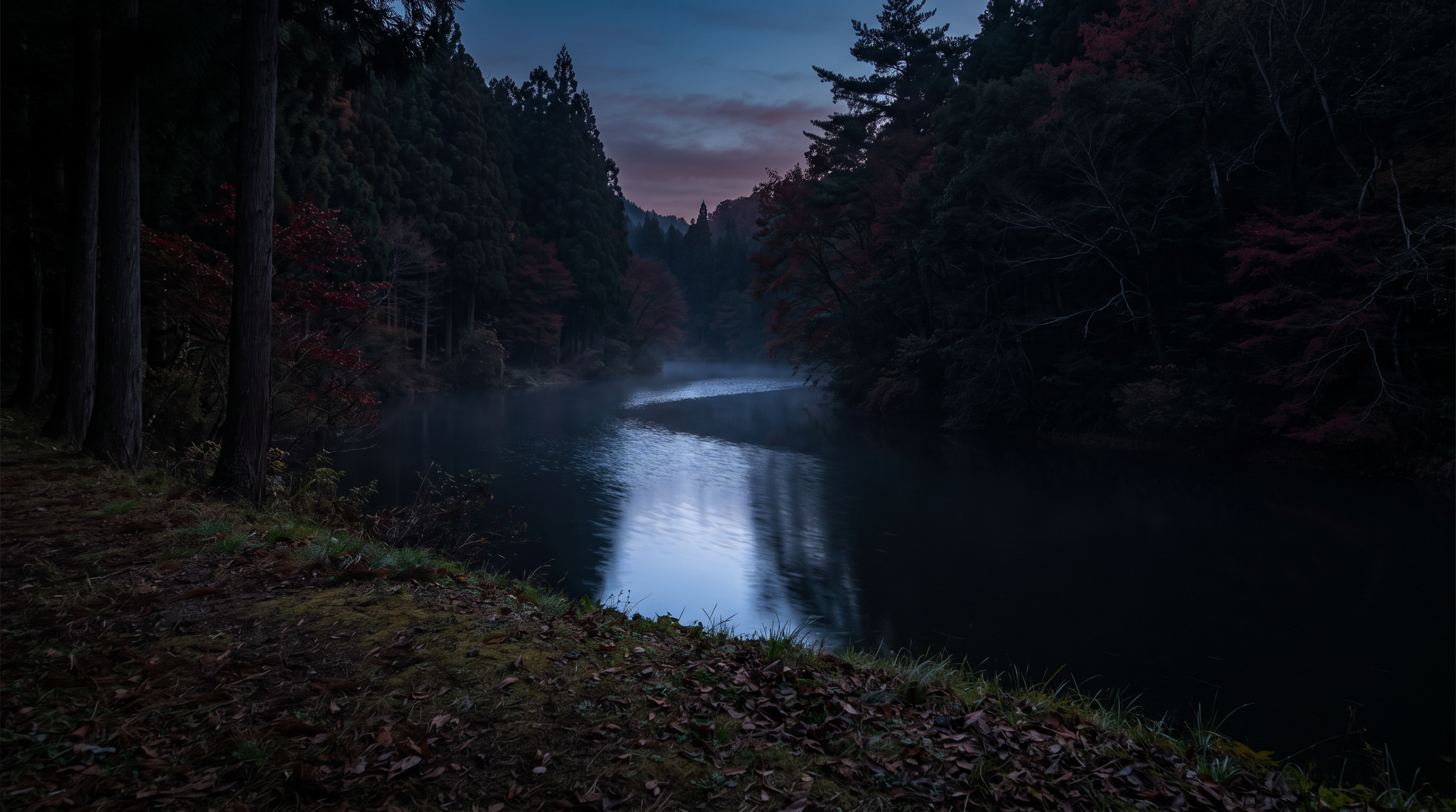
The article on the Toyofusa Dam in the National Haunted Map mentions rumors of an "old man's ghost appearing" there. It also states that "a small altar has been erected," and explains this in a way that speculates on a connection to the accident. While the article is set near the suspension bridge, the specific locations and origins of the bridge and the altar have not been independently verified. We will refrain from interpreting the published speculation as confirmation of the accident.
Source of the rumor and date of verification
I referred to the main text of the nationwide paranormal map introduction for Toyofusa Dam. The text briefly summarizes the figure of the old man and the altar, but there are no references to eyewitnesses, observation dates, the person who set up the altar, or any construction documents. The explanation that it is related to an accident is also written as speculation in the text itself.
- National Haunted Map: Toyofusa Dam(Confirmed on 2026-11-10) — Paranormal phenomena rumored to occur at Toyofusa Dam
The ghost of an old man appears
There are rumors that the ghost of an old man with a disfigured face appears at Toyofusa Dam. Apparently, it's the ghost of an old man who died in an accident in the area. A small altar has been erected, possibly after the accident. Paranormal phenomena frequently occur around the suspension bridge.
Check if there are ghosts nearby
Things that could be confirmed from official and primary source materials
Kimitsu City explains that the Toyofusa Dam is an industrial-only dam completed in 1969, located upstream of the Mishima Dam, and uses the Koito River as its water source. It also describes the history of its construction to secure water for the steelworks and the start of water supply in April 1969. Fishing and boating at Lake Toyofusa, as well as hiking in the surrounding area, are also introduced. This guide, which we have adopted, is not a record of the origin or sightings of the rumored altar.
- Kimitsu City Economic Development Division, Tourism Promotion Section(Verification Date: 2026-11-10) — Main Text Toyofusa Dam and Toyofusa Lake Show Printable Page Publication Date: February 1, 2017 (Updated) Toyofusa Dam The Toyofusa Dam, which draws its water from the Koito River, is located upstream of the Mishima Dam and is an industrial-only dam completed in 1969 with a water storage capacity of 4.2 million tons. The construction of the Toyofusa Dam was considered in 1961 when Nippon Steel Corporation's Kimitsu Works (then Yawata Steel Works) was first established, but the plan was abandoned because it was upstream of the Mishima Dam, which was used for agricultural water. However, with the decision to expand the steelworks' first phase in 1966, securing water became an urgent necessity, and efforts were made again to develop the dam. Dam construction is generally said to take 7 to 10 years, but in order to meet the water needs of the steelworks, excellent engineers were gathered from all over the country, and with the cooperation of the government and other related organizations, construction began in December 1967. After that, the construction progressed at an astonishing speed, and water supply officially began in April 1969. The Toyofusa Dam and Toyofusa Lake, along with the Mishima Dam and Mishima Lake downstream, are located in the heart of the "Seiwa Prefectural Forest," one of the largest forests and lakes in Japan. Surrounding it are Mt. Takago, where Takago Kannon is located, as well as Mt. Hachirozuka and Mt. Otsuka. Fishing and boating can be enjoyed at Toyofusa Lake, and there are hiking trails in the surrounding area where you can enjoy the changing seasons, making it a great place to take a leisurely stroll while enjoying the forest. For those who don't have enough time in a day, there are also lodges and campgrounds. For inquiries regarding this page, please contact: Economic Promotion Division, Tourism Promotion Section, 2-13-1 Kubo, Kimitsu City, Chiba Prefecture Tel: 0439-56-1698 Fax: 0439-56-1314 Click here to contact us by email
Points of agreement/contradictions
Official documents state that the construction was driven by the need for industrial water, but this is a separate history from the rumored accident and altar. The fact that fishing and boating are used on the lake does not support the appearance of the suspension bridge. We have separated the scope of what we were able to confirm regarding the construction history of the facility from the unconfirmed sightings and descriptions of the structure.
| The rumored atomic claim | Matching results | reason | Corresponding documents |
|---|---|---|---|
| The ghost of an old man appears | Unconfirmed | There are no records to compare the date and time of the sighting with the original image, and it is not possible to confirm its appearance from the city's construction history. | No official data available for direct comparison. |
| A small altar has also been made. | Unconfirmed | The location of the altar and the records of its construction are not included, and the facility guide does not provide any evidence to support its origins. | No official data available for direct comparison. |
Alternative interpretation
To compare the appearance of the area near the bridge, we need distance, orientation, brightness, and the original image. The claim that there is an altar requires other documentation showing its location and origin. In this case, both are lacking, and we cannot conclude that it was a misidentification of a shadow or a structure for another purpose.
Scope and limitations of the investigation
This is based on a comparison of the city's facility and tourist information with the rumored text. Identifying the suspension bridge, original accident documents, and information about the altar's construction or installation have not been verified. The city's information is dated 2017 and does not necessarily reflect the current state or usage conditions of all facilities.
Verification result: Unmeasurable
While the history of its construction has been confirmed, there are no independent records corresponding to the image of the old man and the claims made about the altar. The existence of the location and information about its use by the lake alone are not sufficient support and cannot be measured. This does not constitute a judgment confirming the existence of the altar or the accident that is said to be its origin.
Document Quality Score
| Source transparency | 30/30 | The city's individual tourist guide explains the construction history and usage, allowing you to trace the entities that opened the site to the public. |
|---|---|---|
| Historical and spatial context | 24/25 | The history of the construction and the start of water supply is clear, but the origins of the rumored bridge and altar remain unconfirmed. |
| Safety information | 10/20 | While there are descriptions of fishing and boating, the current usage conditions for the bridge and lakeshore are unclear. |
| Newness of information | 7/15 | The publication date is given as 2017, which limits our ability to determine the current status of surrounding facilities. |
| Transparency of the source of rumors | 3/10 | While there are descriptions of the figure and the altar, there are no eyewitness accounts or references to construction records. |
| total | 74/100 | This is the overall quality of the materials. It does not represent the degree of truthfulness or danger associated with the supernatural phenomena. |
Safety information and maps
Do not rely solely on outdated tourist information to determine whether bridges or lakeshores are passable; prioritize the latest facility information and on-site notices. You cannot enter restricted areas or closed zones in search of the rumored altar. Maps do not indicate sighting locations or safe entrances.
Map location: This is a representative location of facilities and terrain. It does not indicate sighting locations, land divisions, entrances, or accessible areas.
What I learned by crossing locations
The rumors about Kameyama were heard during camping, the observations about Toyofusa were based on the suspension bridge, and the observations about Gun were based on hearsay while driving along the road; the observations were made in different settings. City documents also show differences: Kameyama is a multipurpose dam, Toyofusa was built as an industrial dam, and Gun is used to store industrial water drawn in from outside. Even though they are all waterfront areas in Kimitsu City, their uses and access conditions cannot be grouped together. It is especially important not to dismiss the fact that Gun's walking trail is inaccessible in the later part of the text describing the walk.
summary
We have not been able to confirm any independent eyewitness accounts comparing the appearance and sounds from the three locations. On the other hand, the facility's purpose and restrictions on the walking trails around the county dam can be read specifically from the city's information. When investigating further, it is necessary to verify the original testimonies, observation conditions, and location of the subject separately, rather than simply adding more pages that repeat the stories of the sounds and appearances. Whether or not the restrictions on the walking trails have been lifted should be determined from the latest information provided by the administrators, not from rumors.
FAQ
Is the address of the city in Kameyama Lake the same as the location of the tent where the voice was heard?
No. The addresses listed in the city's tourist information are for the tourist information center. You cannot place the campsite or sighting locations mentioned in the text at the same location as the address or the representative pin for the dam itself.
Does the explanation about the industrial water supply at Toyofusa Dam support the rumors about the suspension bridge?
That's incorrect. The explanation concerns the construction and water use, and does not record the appearance of the elderly person or the origin of the altar. The facility's history and eyewitness accounts need to be compared separately.
Is it possible to walk along the walking trail at Gun Dam, as there are walking guides available?
It cannot be determined that the road is passable. The city's webpage at the time of saving clearly states at the beginning that the road is impassable for the time being due to a landslide. Until the latest information on lifting the restrictions is available, please prioritize the road restrictions over the walking route information.
How to read this article and safety precautions
" [2026 Latest] Top 3 Ranking of Paranormal Rumors at 3 Waterfront Locations in Chiba This is an article compiled by the Horror Tales File editorial team as a story, based on publicly available information, rumors circulating in the community, and information submitted by readers. It does not definitively state the authenticity of paranormal phenomena.
- We do not recommend visiting restricted areas, private property, abandoned buildings, or dangerous locations at night.
- If you go to the site, always prioritize compliance with laws and regulations, instructions from facility managers, and consideration for nearby residents.
- You can submit personal experiences, correction requests, and deletion requests through the "Personal Experiences/Information Submission" or "Contact Us" sections.
View editorial policy / Please share your experiences and information here. / inquiry