The images in the photographs, the children running out of the lake, the woman standing on the water's surface—different rumors are posted for the Sonohara Dam, Kiryugawa Dam, and Kusaki Dam in Gunma Prefecture. What can be confirmed from the dam's records is the history of the facilities and how the water is used. By comparing the posted texts and the administrators' explanations for each of the three locations, we can distinguish between the setting of the story and events that have not yet been confirmed.
Survey methods and evaluation criteria
On November 10, 2026, I compared the descriptions of each location in the National Haunted Map with the archived materials from the Ministry of Land, Infrastructure, Transport and Tourism, Gunma Prefecture, and the Japan Water Agency. This is not a firsthand account of experiences at the locations. Agreement, partial agreement, and disagreement in the judgments represent the correspondence between individual claims and the materials. If there are no records to compare with, measurement is impossible, or if significant evidence not found in rumors is obtained, it will be considered a new fact. The mere existence of a location does not support the existence of paranormal phenomena. The rankings and five-axis scores are editorial evaluations of the quality of the materials, not of how scary or dangerous they are.
| Rank | point | The main points of the rumor | judgement | Document quality |
|---|---|---|---|---|
| 1 | Kusaki Dam | The entry for Kusaki Dam on the nationwide paranormal map includes an eyewitness account of "a female ghost standing on the surface of the lake." It also mentions changes in physical and emotional states, such as "suddenly feeling sad and crying"... | unmeasurable | 78/100 |
| 2 | Sonohara Dam | The entry for Sonohara Dam in the nationwide paranormal map mentions that "a female ghost appears in photos taken of the memorial monument." It also states that "animal ghosts are frequently sighted" at the red suspension bridge… | unmeasurable | 75/100 |
| 3 | Kiryu River Dam | The entry for Kiryugawa Dam in the nationwide paranormal map mentions a story of "the ghost of a child running and crying." Another section mentions a sighting of "the ghost of a woman in a red bikini" in winter... | unmeasurable | 71/100 |
1st Place: Kusaki Dam | Measurement Undetermined (78 points)
The rumored details
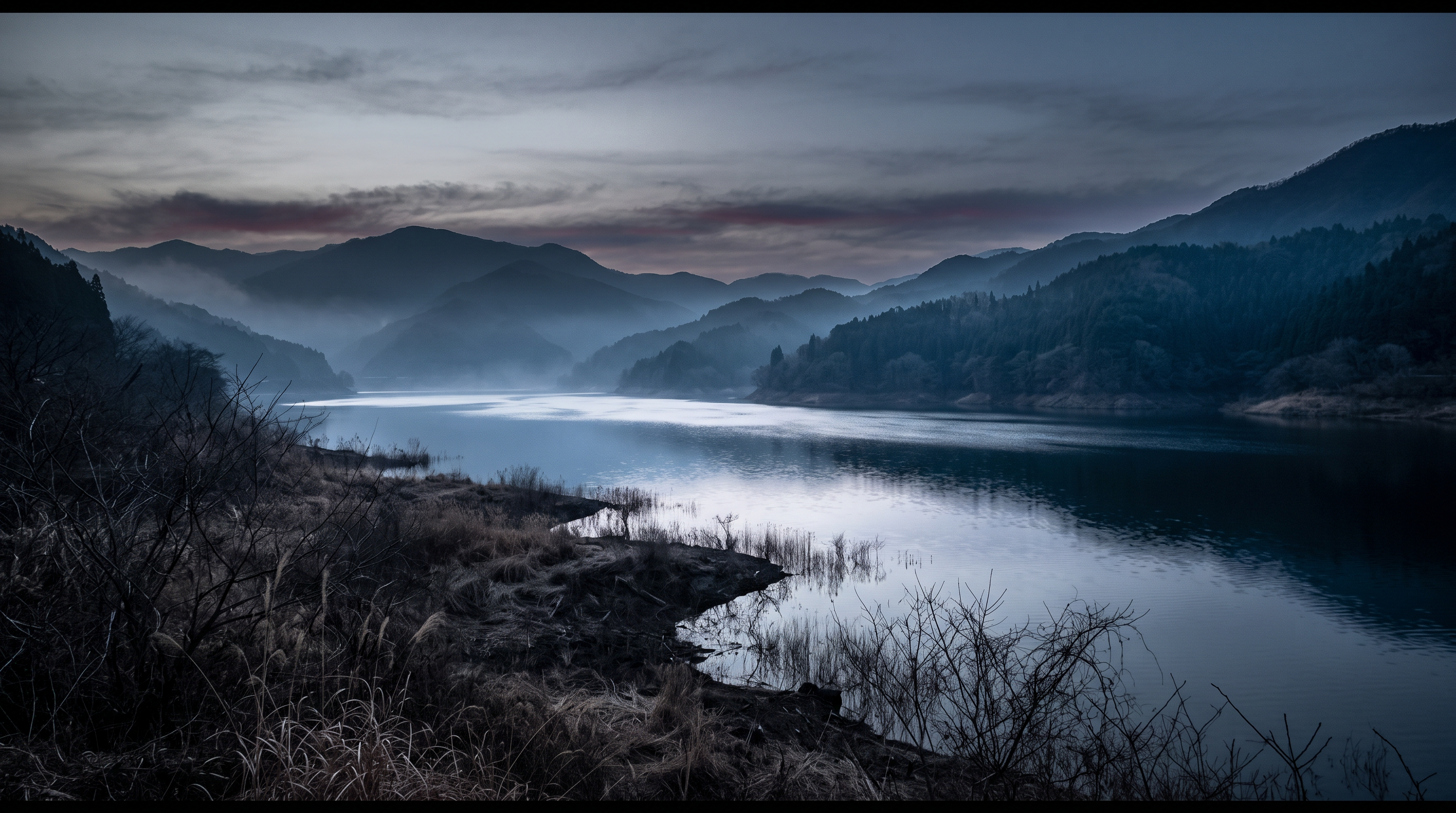
The entry for Kusaki Dam on the National Haunted Map includes an eyewitness account of "a female ghost standing on the lake's surface." It also mentions changes in physical and emotional state, such as "suddenly feeling sad and crying." The text also includes the date of the incident, but this alone cannot establish a causal relationship between the eyewitness account and the incident. This time, we compared the appearance of the lake's surface with the description of the physical sensations experienced.
Source of the rumor and date of verification
The source I referenced was the text of a nationwide paranormal map that lists both Kusaki Dam and Kusaki Lake. The description is a compilation of eyewitness accounts and personal experiences, but does not include observation records or the dates of statements from those who experienced them. The date of the incident in the text is also not corroborated by any other source from the administrator's documents used.
- Nationwide Haunted Map: Kusaki Dam(Confirmed on 2026-11-10) — Paranormal phenomena rumored to be occurring at Kusaki Dam (Kusaki Lake)
A female ghost appears
It is located near the famous Hotaka Shrine, known for its paranormal activity. Many suicides have occurred at this dam, and it is said that the spirits of those who committed suicide appear there. There are also reports of a female ghost standing on the surface of the lake.
It is said that when people with psychic abilities visit this place, they may resonate with the spirits of those who committed suicide, suddenly becoming sad and shedding tears, or experiencing headaches and nausea. Furthermore, this dam lake is also known for numerous murders, body dumping incidents, and accidents. The following are just some of the known incidents:
On September 2, 1993, ten teenagers from a biker gang shot and killed two yakuza members and abandoned their bodies on the shore of Lake Kusaki.
On January 11, 2003, the body of an unidentified man was discovered near Kusaki Lake.
On July 18, 2007, a man's body was discovered abandoned in Kusaki Lake.
Check if there are ghosts nearby
Things that could be confirmed from official and primary source materials
According to the Japan Water Agency, the Kusaki Dam is a multi-purpose dam constructed on the Watarase River. Its functions include storing water in a lake to reduce flooding downstream, supplying water for drinking, industrial use, and agriculture, and generating electricity. Regarding power generation, it also mentions its relationship with the Higashi Power Plant located below the dam. These are explanations of water use and not records of eyewitness accounts of the lake's surface.
- Japan Water Agency Watarase River Dam Management Office(Confirmed on 2026-11-10) — Simple Explanation Kusaki Dam is a multi-purpose dam built on the Watarase River, the first tributary of the Tone River. Here, we introduce Kusaki Dam in an easy-to-understand way. ●Lake size Kusaki Dam is the size of Tokyo Dome ●Prevents floods The Watarase River is usually calm, but it can flood. In such cases, Kusaki Dam stores as much water as possible in the lake to reduce the amount of floodwater flowing downstream from the dam. As a result, it can prevent floods. ●Secures drinking water and washing water The water stored in the dam is used to supply new tap water to Kiryu City, Saitama Prefecture, Tokyo, and other areas. ●Supplies water for factories The water stored in the dam is used to supply industrial water to Gunma Prefecture, Ashikaga City, and Tokyo. ●Supplies water for agriculture The water stored in the dam provides a stable water supply to the fields and farms along the Watarase River. ●Generates electricity The water stored in the dam is released, and that force is used to generate electricity. Electricity is generated at the Higashi Power Plant, located just below the dam, the Kodaira Power Plant (which draws water through a tunnel), and the Takatsudo Power Plant. Here's a look at the work of the Kusaki Dam staff. Kusaki Dam Siren (Sample) *Click the QR code to hear the sound. Get out of the river when the siren sounds! Detailed explanation of the siren is here. Kusaki Dam Live Video ▲ Dam Purpose ▲ Overview of the Watershed ▲ Overview of the Facilities ▲ History of the Project ▲ Introduction to Power Generation ▲ River Disaster Prevention Information (Ministry of Land, Infrastructure, Transport and Tourism) ▲ Dam Purpose ▲ Overview of the Watershed ▲ Overview of the Facilities ▲ History of the Project ▲ Construction History "Photo Gallery" ▲ Introduction to Power Generation ▲ River Disaster Prevention Information ▲ Inundation Prediction Map ▲ Flood Control Effects ▲ Dam Purpose ▲ Overview of the Watershed ▲ Overview of the Facilities ▲ History of the Project ▲ Construction History "Photo Gallery" ▲ Introduction to Power Generation ▲ River Disaster Prevention Information ▲ Inundation Prediction Map ▲ Flood Control Effects *Source: From the Geospatial Information Authority of Japan website Pamphlet
Points of agreement/contradictions
What can be gleaned from the administrator's documents is that the lake is a facility that stores water and regulates its flow and use. The appearance and emotional changes of the lake's surface are observed using different methods and subjects. I made sure not to use the nature of the facility as a multipurpose dam alone to explain or deny the supernatural occurrences.
| The rumored atomic claim | Matching results | reason | Corresponding documents |
|---|---|---|---|
| A female ghost was standing on the surface of the lake. | Unconfirmed | The administrator's documents used do not include images of the sighting or observation conditions, making it impossible to compare objects on the lake surface. | No official data available for direct comparison. |
| Suddenly I feel sad and tears start flowing. | Unconfirmed | The date, time, and environment in which the emotional changes were recorded, as well as any comparable measurement data, are not apparent from the published text. | No official data available for direct comparison. |
Alternative interpretation
When observing something on the lake surface, the starting point for comparison is to standardize the light, waves, and the height and direction of observation. Regarding changes in physical condition, it's also necessary to record the environment and the individual's state at the time. In this case, none of these records exist, and it cannot be definitively determined that the cause was a reflex or psychological reaction.
Scope and limitations of the investigation
This article uses facility descriptions and rumors from the Japan Water Agency. Articles about the incident, investigation documents, photographs of the lake surface, and records of health measurements are not included in this comparison. We have separated information that can explain the facility's functions from information that can verify individual stories.
Verification result: Unmeasurable
While the function of the dam can be explained, there are no records directly comparing the appearance of the lake surface with the subjective experience. Even if the date of the incident is listed, it does not confirm the relationship with eyewitness accounts or subjective experiences, making measurement impossible. This is not a judgment that concludes everything is wrong.
Document Quality Score
| Source transparency | 30/30 | The Japan Water Agency provides individual explanations of the purpose of each dam, allowing for a correspondence between the administrator and the publicly available documents. |
|---|---|---|
| Historical and spatial context | 22/25 | I understand the relationship between rivers and water supply/power generation, but I can't track down the location and time of the rumored sighting. |
| Safety information | 12/20 | While the functions of the flood control facilities are described, access conditions to individual lakeshores remain unconfirmed. |
| Newness of information | 10/15 | I can read the saved descriptions, but I can't determine the update date of each entry from the main text. |
| Transparency of the source of rumors | 4/10 | While it's possible to distinguish between eyewitness accounts and subjective experiences, the initial witnesses and references to original records remain unclear. |
| total | 78/100 | This is the overall quality of the materials. It does not represent the degree of truthfulness or danger associated with the supernatural phenomena. |
Safety information and maps
This is a waterfront area where flood control and water releases are carried out. Do not approach the water's edge or management facilities in search of rumored locations. Prioritize the water release announcements from the management and the warnings and entry restrictions at the site. The pins on the map do not indicate safe viewing locations.
Map location: This is a representative location of facilities and terrain. It does not indicate sighting locations, land divisions, entrances, or accessible areas.
2nd Place: Sonohara Dam | Measurement Undetermined (75 points)
The rumored details
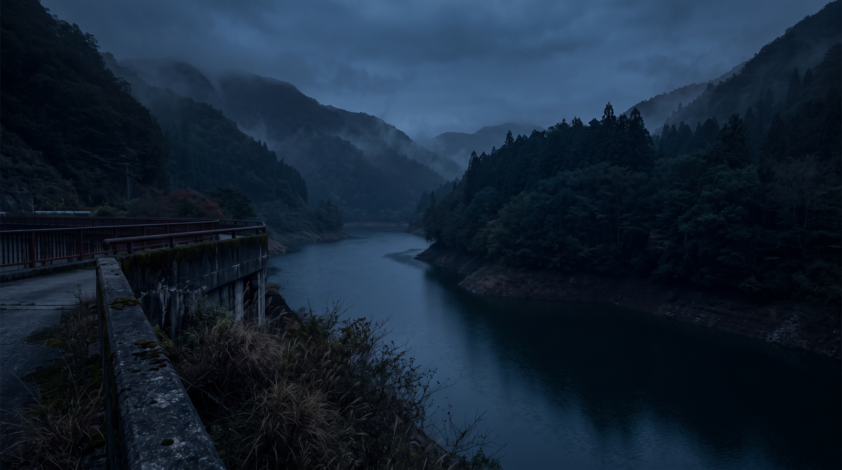
The text on the Sonohara Dam in the National Haunted Map mentions that "a female ghost appears in photos taken of the memorial monument." It also states that "animal ghosts are frequently sighted" at the red suspension bridge. The text then goes on to discuss tunnels and surrounding facilities, but these are all separate entities. The wording of the published text should not be taken at face value as a record of an accident or an encouragement to visit.
Source of the rumor and date of verification
The source is the description of Sonohara Dam in the National Haunted Map. This text combines information on multiple locations into a single description, and the photographer, date, and location of the original images are not available from this text. Regarding the bridge, neither the initial testimony nor any independent records have been identified.
- Nationwide Haunted Map: Sonohara Dam(Confirmed on 2026-11-10) — Paranormal phenomena rumored to occur at Sonohara Dam
A female ghost appears
What's so amazing about Sonohara Dam as a haunted spot is that it's packed with every element you'd expect from a haunted place.
First, there is a memorial monument to commemorate the workers who lost their lives in accidents during the construction of the dam.
It is said that if you take a picture of this memorial with a camera, the ghost of a woman will appear in the photo.
And we've already arrived at the most dangerous spot: the red suspension bridge in the middle of the lake.
It used to be located further down the valley.
The shaking was so violent that many people and livestock lost their lives here.
Therefore, not only human spirits but also animal spirits are frequently sighted here.
Next is the tunnel connecting Sonohara Lake and Sonohara Dam.
Although there are few confirmed ghost sightings here, there's a strangely eerie atmosphere.
It's short, but the atmosphere is exactly like a haunted tunnel.
Even closer by is an abandoned lodging facility called Touring Inn Numata.
Furniture and dishes that were likely used during business hours are scattered around.
For some reason, there is a deer statue near the entrance.
Be careful not to get startled while exploring.
This haunted spot offers four different experiences in one location: a memorial monument, a suspension bridge, a tunnel, and ruins.
These are all highly paranormal locations, so please rest assured.
Check if there are ghosts nearby
Things that could be confirmed from official and primary source materials
The Tone River Dam Integrated Management Office of the Ministry of Land, Infrastructure, Transport and Tourism describes the Sonohara Dam as a gravity-type concrete dam located on the Katashina River. It also states that construction began in 1959 and was completed and managed in 1966. This description only reveals the dam's location, structure, and construction history. However, it does not provide the same record to confirm the origins of the memorial monument and suspension bridge mentioned in rumors.
- Ministry of Land, Infrastructure, Transport and Tourism, Kanto Regional Development Bureau, Tone River Dam Integrated Management Office(Verification Date 2026-11-10) — Sonohara Dam Management Branch Office | Tonegawa Dam Integrated Management Office | Ministry of Land, Infrastructure, Transport and Tourism Kanto Regional Development Bureau Skip to site navigation Ministry of Land, Infrastructure, Transport and Tourism Kanto Regional Development Bureau Sitemap Links Text Size +Enlarge -Reduce This page uses JavaScript. Ministry of Land, Infrastructure, Transport and Tourism Kanto Regional Development Bureau Tonegawa Dam Integrated Management Office Home > About the Office > Sonohara Dam Management Branch Office Skip to local navigation Dam Information Flood Inundation Map for Rivers Downstream of the Dam Useful Information About the Office Bidding and Contracts Water Source Area Vision Water Surface Use Rules Event Information Brochures Let's Play with Dams! Tonegawa Dam Information Room Aimata Dam Information Room I see! Yanba Museum Latest News Office Introduction Sonohara Dam Management Branch 2378 Sonohara, Tone-machi, Numata City, Gunma Prefecture 378-0324 TEL: 0278-54-8012 Sonohara Dam Management Branch Location (Enlarged Map) [PDF: 708KB] By Car Approximately 11km from Numata Interchange on the Kan-etsu Expressway By Train Approximately 15km from Numata Station on the JR Joetsu Line Approximately 23km from Jomo-Kogen Station on the Joetsu Shinkansen Other pages in this content Office History/Organization Business Activities Tonegawa Dam Integrated Management Office Disaster Prevention Base Tonegawa Dam Museum Fujiwara Dam Management Branch Aimata Dam Management Branch Yanba Dam Management Branch Public Document Management Opinions and Inquiries Back to top of this page Ministry of Land, Infrastructure, Transport and Tourism Kanto Regional Development Bureau Tonegawa Dam Integrated Management Office 593-1 Motosōja-machi, Maebashi City, Gunma Prefecture 371-0846 Phone: 027(251)2021 Links & Copyright Information Privacy Policy Website Accessibility Initiatives Feedback & Inquiries
- Ministry of Land, Infrastructure, Transport and Tourism, Kanto Regional Development Bureau, Tone River Dam Integrated Management Office: Dam Introduction(Confirmed on 2026-11-10) — Sonohara Dam | Tonegawa Dam Integrated Management Office | Ministry of Land, Infrastructure, Transport and Tourism Kanto Regional Development Bureau Skip to site navigation Ministry of Land, Infrastructure, Transport and Tourism Kanto Regional Development Bureau Sitemap Links Text size +Enlarge -Reduce This page uses JavaScript. Ministry of Land, Infrastructure, Transport and Tourism Kanto Regional Development Bureau Tonegawa Dam Integrated Management Office Home > Dam Information > Sonohara Dam Skip to local navigation Dam Information Fujiwara Dam Aimata Dam Sonohara Dam Yamba Dam Role of Dams Tonegawa Construction Information Flood Inundation Map for Rivers Downstream of Dams Useful Information Office Introduction Bidding and Contracts Water Source Area Vision Water Surface Use Rules Event Information Pamphlets Let's Play with Dams! Tonegawa Dam Museum Aimata Dam Museum Interesting! Yamba Museum Latest News Dam Information Sonohara Dam The lake that spreads downstream of Oigami Onsen is a popular spot to enjoy the outdoors. Sonohara Dam is a gravity-type concrete dam located on the Katashina River. Construction began in 1959 by the Sonohara Dam Construction Office and was completed in 1966. It was then incorporated into the Tone River Dam Integrated Management Office, and management commenced. Information on the area where visitors can freely tour Sonohara Dam The dam's purpose 1) Flood control Utilizing its flood control capacity of 14.14 million m3, it regulates 800 m3/s of the planned high water flow rate of 2,350 m3/s at the dam site. 2) Maintaining the normal function of river flow Utilizing its water utilization capacity (3 million m3 during flood season, 13.22 million m3 during non-flood season), it secures the flow rate necessary for stabilizing existing water use and preserving the river environment. 3) Power Generation A new Sonohara No. 1 Power Plant (now Shirasawa Power Plant) with a maximum output of 22,600 kW will be constructed as a dam-type hydroelectric power plant in Hiraide, Shirasawa Village, Tone District, Gunma Prefecture, and power generation will be carried out there. In addition, the Hiraide Dam will be constructed downstream to serve as a regulating reservoir, and a new Sonohara No. 2 Power Plant (now Rinan Power Plant) with a maximum output of 5,200 kW will be constructed there to power generation. Furthermore, water with a maximum flow rate of 6.0 m3/s will be diverted from the Nerikawa River, a tributary of the Katashina River, to the Sonohara Dam to generate power. Main specifications of the dam Type: Gravity concrete dam Dam volume: 206,000 m3 Dam height: 76.5 m Crest length: 127.6 m Reservoir name: Sonohara Lake Drainage area: 607.6 km2 (direct: 493.9 km2) Reservoir area: Approximately 1 km2 Completion: 1966 Flood control diagram Capacity distribution diagram Dam site plan Side view Front view Dam drainage area and management facility location map Dam drainage area and management facility location map (enlarged view) [PDF: 299KB] Overview of management facilities [1. Discharge Facilities】 ■Main Discharge Facilities High-pressure radial gates Span 5.0m x Height 3.56m 3 gates High-pressure roller gates (reserve gates) Span 6.91m x Height 8.595m 2 gates ■Auxiliary Discharge Facilities Howell-Bunger valves Diameter 0.7m 1 unit High-pressure slide gates (sub-gates) Diameter 0.7m 1 unit High-pressure roller gates (for repair) Span 1.43m x Height 1.43m 1 gate ■Emergency Discharge Facilities Standard radial gates Span 7.5m x Height 8.06m 4 gates ■Dam Management Facilities Lifting equipment Vertical drop type Load capacity 800kg 12 people 1 unit Lifting equipment Incline 1 unit Workboat 6 people 1 vessel Workboat 2 people 1 vessel 【2. Dam Discharge Facility Control Device】 1 unit 【3. [Electrical Equipment] High-voltage substation 6600V 1 unit Backup generator 420/242V 250kVA 2 units Backup generator 420/242V 75kVA 1 unit Uninterruptible power supply (CVCF) 20kVA 1 unit Uninterruptible power supply (CVCF) 10kVA 1 unit [4. Observation Equipment] Telemeter stations Rainfall 8 stations Neko, Kamata, Hirakawa, Ota-mukai, Hanasaki, Kurihara, Hatamachi, Tokura Telemeter stations Water level 4 stations Kamikuya, Takatoya, Kuriharabashi, Kamata Telemeter stations Snow depth 3 stations Hatamachi, Ota-mukai, Tokura [5. Wireless Communication Equipment] Multiplex wireless communication device Numata Daini-mukai 384 (6.3M x 4) 1 set Multiplex wireless communication device Kusaki-mukai 288 ch (6.3M x 3) 1 set Very high frequency wireless communication
Points of agreement/contradictions
The official construction date and the origin of the memorial monument as stated in the article are different claims. The mere fact that construction took place does not prove that an accident occurred there or that anything was captured in the photographs. The bridge and tunnel are not located at the same point as the dam itself, so we will refrain from estimating the sighting location from representative positions.
| The rumored atomic claim | Matching results | reason | Corresponding documents |
|---|---|---|---|
| A female ghost appears in the photo. | Unconfirmed | The official description of the dam that was selected does not include any records that allow us to compare it with the original photograph or the conditions under which it was taken. | No official data available for direct comparison. |
| Animal spirits are also frequently sighted. | Unconfirmed | There is no record of the date, time, or subject of the bridge sighting, and it cannot be linked to the dam construction records. | No official data available for direct comparison. |
Alternative interpretation
To examine a photograph, the original image, shooting direction, lighting conditions, and preceding and succeeding images are necessary. Distance and brightness are also clues for the object seen on the bridge. However, this information is not included in the published text, and therefore it is not concluded that reflection or misidentification was the cause.
Scope and limitations of the investigation
This is based on a comparison of the dam's official description with the rumored introductory text. Documents regarding the construction of the memorial monument, the changes to the suspension bridge, and individual eyewitness accounts are not included in the source material. No photography or on-site investigations were conducted, and this article does not verify the current state of all surrounding facilities.
Verification result: Unmeasurable
While the construction history can be confirmed, there are no records comparing photographs and eyewitness accounts of the bridge independently. We will not consider the location's name or the fact of construction as evidence of the supernatural occurrences, and will treat the two claims selected here as immeasurable. The lack of information in official explanations will not be used as counter-evidence.
Document Quality Score
| Source transparency | 30/30 | Individual explanations from the Ministry of Land, Infrastructure, Transport and Tourism's management offices allow you to trace the relationship between the publicly accessible entity and the facility. |
|---|---|---|
| Historical and spatial context | 23/25 | While the history of the construction's commencement and completion can be read, the origins of the rumored bridge and memorial remain unconfirmed. |
| Safety information | 9/20 | While there is a description of the facility, it does not include information on the current traffic conditions for the surrounding area, which has been the subject of rumors. |
| Newness of information | 10/15 | I checked the saved text, but I was unable to determine when each facility's information was updated. |
| Transparency of the source of rumors | 3/10 | While specific subjects are mentioned, the original photographic sources and initial testimonies are not provided. |
| total | 75/100 | This is the overall quality of the materials. It does not represent the degree of truthfulness or danger associated with the supernatural phenomena. |
Safety information and maps
The map only shows the representative location of the dam. It does not indicate access to bridges, tunnels, or surrounding buildings mentioned in rumors. Prioritize on-site access signs and guidance from administrators, and do not cross fences or closed areas.
Map location: This is a representative location of facilities and terrain. It does not indicate sighting locations, land divisions, entrances, or accessible areas.
3rd Place: Kiryugawa Dam | Measurement Undetermined (71 points)
The rumored details
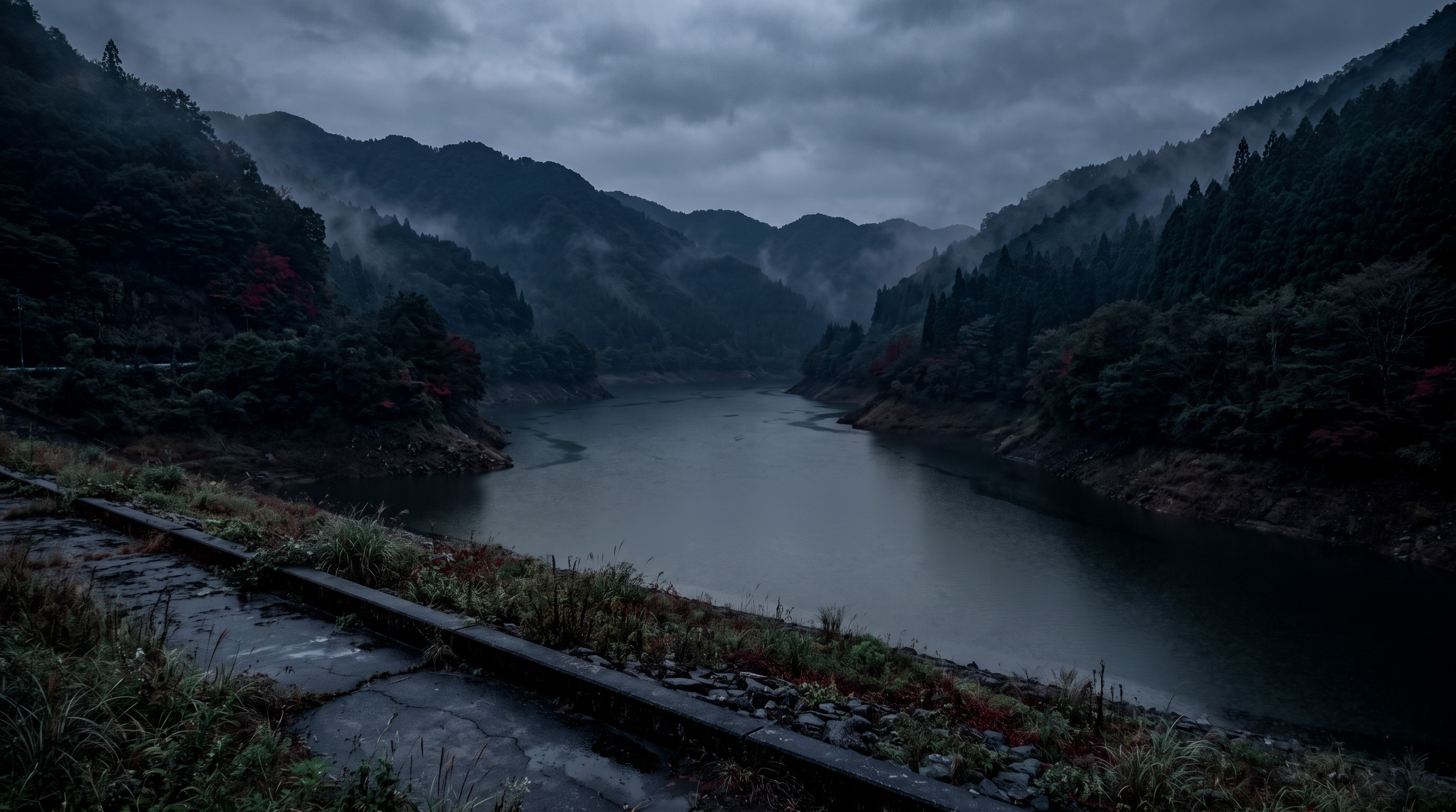
The description of Kiryugawa Dam in the nationwide paranormal map includes a story about "the ghost of a child running and crying." Another section mentions that "the ghost of a woman in a red bikini" is sighted in winter. While the text uses descriptions of multiple incidents as background, the dates and sources of these incidents have not been individually verified, and here they are treated as eyewitness accounts.
Source of the rumor and date of verification
I referred to the introductory text of a nationwide paranormal map that lists both Kiryugawa Dam and Umeda Lake. Multiple stories are presented consecutively, and it cannot be confirmed that they are from the same witness and describe events on the same day. The date and time of the initial testimony regarding the child's voice and the winter figure, and the process leading to its publication, are unknown.
- Nationwide Haunted Map: Kiryugawa Dam(Confirmed on 2026-11-10) — Paranormal phenomena rumored to occur at Kiryugawa Dam (Umeda Lake)
A female ghost appears
I can hear a voice
There was an incident a long time ago where a mother and child committed suicide by jumping in front of a train.
The child reportedly resisted many times, saying, "No! I don't want to go into the dam!"
Since that incident, the ghost of a child has been said to appear near this area, running and crying out "Help me!"
There have also been cases where cars have been stolen, leaving two children inside.
The car was stolen while the parents were out of the car to go to the restroom.
The children who remained in the car were pushed into the dam. The older sister, who got caught in a tree, survived, but the younger brother drowned.
In winter, the ghost of a woman wearing a red bikini is reportedly sighted.
When the young man approached to speak to her, he saw a woman whose face was covered in bright red blood, her skin horribly raw and her eyes bared.
In addition, the Kiryu River Dam (Umeda Lake) is a haunted spot where incidents like murder bodies being thrown into the river, a man who was ice fishing for smelt suddenly dying, and high school students walking across the Kiryu Bridge with their friends suddenly falling off the bridge and dying have occurred one after another.
Check if there are ghosts nearby
Things that could be confirmed from official and primary source materials
Documents regarding the Kiryugawa Dam in Gunma Prefecture state its location as 4-chome, Umeda-cho, Kiryu City, and the reservoir is named Umeda Lake. It describes the dam as a gravity-type concrete dam and also explains the environmental improvements around the dam lake. It states that improvements have been underway since fiscal year 1996, based on a plan compiled by the prefecture and the city. While the relationship between the facility and the lake can be confirmed, it does not corroborate the incidents and sightings reported in the surrounding area.
- Gunma Prefecture River Division (Management Office: Kiryu Civil Engineering Office, Kiryu River Dam Management Office)(Verification Date: 2026-11-10) — Main Text Kiryugawa Dam Updated: March 1, 2011 Print Page View Management Overview *Kiryugawa Located very close to Kiryu city center, about 20 minutes by car, it is a familiar landmark in the area. Around Lake Umeda, the reservoir, facilities such as the Kiryu Prefectural Youth Outdoor Activity Center and the Umeda Furusato Center have been built, and the number of visitors has been increasing year by year. For this reason, the prefecture has worked with Kiryu City to create an environmental improvement plan for the area around Lake Umeda, and has been carrying out development as the "Dam Lake Utilization Environmental Improvement Project" since fiscal year 1996. Location Planned Flow Distribution Diagram Specifications Dam Specifications Location Umeda-cho 4-chome, Kiryu City River Name Kiryu River, Tone River System Purpose F・N・W・P Type Gravity Concrete Dam Height 60.5m Crest Length 264.0m Dam Volume 293,000m3 Dam Crest Elevation EL262.0m Non-Overflow Section Elevation EL261.5m Design Flood Level EL260.5m Surcharge Water Level EL258.7m Normal Full Water Level EL253.7m Flood Season Restricted Water Level EL242.8m Minimum Water Level EL226.5m Foundation Bedrock Elevation EL201.5m *Purpose F: Flood Control N: Stabilization of Existing Water Intake, Preservation of River Environment, etc. W: Water Supply P: Power Generation Flood Control Plan Adjustment Method Natural Adjustment Method Planned Scale 1/100 Planned rainfall: 250 mm/day Planned flood discharge: 560 m³/s → 150 m³/s Design flood discharge: 1100 m³/s Flood control reference point: Hiromi Bridge Water utilization plan Planned scale: 2/10 Water utilization reference point: Dam site Kiryu City water intake point Ozeki water intake point Hiromi Bridge New development Water supply Kiryu City 0.4 m³/s (13.8%) Power generation (dependent power generation) Gunma Prefectural Enterprise Bureau Maximum 470 kW (0.3%) Project cost Total project cost: 22,760,000 thousand yen Flood control burden rate: 85.9% Water supply burden rate: 13.8% Power generation burden rate: 0.3% Reservoir specifications Reservoir name: Umeda Lake Catchment area: 42.0 km² Reservoir area: 0.62 km² Total storage capacity 12,200,000 m³ Effective storage capacity 11,300,000 m³ Sediment storage capacity 900,000 m³ Flood season capacity Flood control capacity 7,400,000 m³ Water utilization capacity 3,900,000 m³ Unspecified 1,900,000 m³ Public water supply 2,000,000 m³ Non-flood season capacity Flood control capacity 2,700,000 m³ Water utilization capacity 8,600,000 m³ Unspecified 5,300,000 m³ Public water supply 3,300,000 m³ Discharge facilities Emergency spillway Crest free overflow H1.8m × B11.0m × 16 gates Normal spillway (for flood season) Orifice radial gate H3.2m × B4.0m × 1 gate Surface water intake facilities Multi-stage (6-stage) roller gate H32.47m x B2.5m Water release facility Jet flow gate φ0.9m x 1 row Cross section diagram Capacity distribution diagram ●Name of management office: Kiryu Civil Engineering Office Kiryu River Dam Management Office ●Address: 1781 Umeda-cho 4-chome, Kiryu City ●Phone: 0277-32-0566 Twee
Points of agreement/contradictions
The Umeda Lake mentioned in official documents is the name of a reservoir and not a unique location name for each of the rumored scenes. To compare the voices and appearances in the published text, the location and date of the scene are necessary. Due to environmental improvements and the presence of surrounding facilities, it is not possible to determine that the published events are factual.
| The rumored atomic claim | Matching results | reason | Corresponding documents |
|---|---|---|---|
| The ghost of a child running while crying and screaming | Unconfirmed | The prefectural facility records do not contain observational records of voices or appearances, and therefore cannot be independently compared with the scene described in the text. | No official data available for direct comparison. |
| The ghost of a woman in a red bikini | Unconfirmed | The date, time, and observation conditions other than winter cannot be specified, and there are no primary records to confirm the subject. | No official data available for direct comparison. |
Alternative interpretation
If you're going to analyze the sound or the sight of someone running, you need to record the direction from which you heard it, the distance to the object, the lighting, and the presence of other passersby. Season alone isn't enough to meet the observation conditions. In this case, these factors were unknown, and we didn't conclude that the sound could be explained by the echo or the object being far away.
Scope and limitations of the investigation
This compares the prefectural facility records with the published article about the rumor. The original records of the incident, photographs and recordings from the observation period, and the correspondence between the bridge and the traffic section have not been verified. The official document was last updated on March 1, 2011, and therefore does not guarantee that the information accurately reflects current usage of the surrounding area.
Verification result: Unmeasurable
While the lake name and facility type were confirmed, there are no independent records to compare the eyewitness accounts used. We do not consider the matching of alternative names to be partial matches, and we reserve judgment on claims regarding voices and appearances. This is also not a judgment confirming the sequence of events described.
Document Quality Score
| Source transparency | 30/30 | In Gunma Prefecture, you can find individual dam specifications and management office information on the same page. |
|---|---|---|
| Historical and spatial context | 23/25 | While the lake's name and the history of the development plan are known, the original records of the incident described are unconfirmed. |
| Safety information | 9/20 | The location of the facility is indicated, but the conditions for access and use of the entire lakeshore section are not provided. |
| Newness of information | 6/15 | The page was last updated in 2011, so it has limited information to determine the current terms of use. |
| Transparency of the source of rumors | 3/10 | While the scene has distinctive characteristics, we cannot confirm any references to the original testimony or observation date. |
| total | 71/100 | This is the overall quality of the materials. It does not represent the degree of truthfulness or danger associated with the supernatural phenomena. |
Safety information and maps
The explanation regarding the development of the area around Lake Umeda does not mean that all lakeshores and facilities will be accessible. Do not make decisions about passage based solely on outdated facility documents; prioritize the latest information from the administrator and on-site closure/access signs.
Map location: This is a representative location of facilities and terrain. It does not indicate sighting locations, land divisions, entrances, or accessible areas.
What I learned by crossing locations
The stories about Sonohara Dam extend to memorials and bridges, to Kiryugawa Dam to voices and figures chasing after someone, and to Kusaki Dam to the appearance of the lake surface and changes in physical condition. None of these are documents that can pinpoint a specific sighting location from the dam's name. On the other hand, the official explanations differ in that they mention the construction of the Katashina River dam, the development of the area around Umeda Lake, and the use of water from the Watarase River. Comparing what each document records, based on the commonality of being near water, allows us to read the rumors without confusing them with facility information.
summary
The next things we need to verify at these three locations are the location of the objects mentioned in the rumors and the circumstances under which the stories were recorded. At Sonohara, we lack documentation regarding the memorial monument and bridge; at Kiryugawa, we lack the initial testimony; and at Kusaki, we lack observational conditions for the sighting. Even if we know the completion date and purpose of the facilities, these gaps will not be filled. When searching for records from different sources, we also need to distinguish between repeated rumors and independent records.
FAQ
Can the red bridge at Sonohara Dam be identified using a pin on the map?
No, it's not possible. The pin in this example represents the approximate location of the dam. It does not indicate the location of the red suspension bridge or memorial mentioned in the text, nor does it show the current entrance or the area that is accessible.
Are Kiryugawa Dam and Umeda Lake separate haunted spots?
According to prefectural documents, Lake Umeda is the name of the reservoir of the Kiryu River Dam. While the relationship between the facility and the lake is clear, this does not mean that rumors about the entire lakeside area should be directed solely at the dam itself.
If there are no rumors in the official documents for Kusaki Dam, does that mean it's a mistake?
I cannot conclude that. The administrator's documents are explanations about flood control and water supply. The mere fact that there is no mention of supernatural occurrences is not evidence to disprove the rumors.
How to read this article and safety precautions
" [2026 Latest] Top 3 Ranking of Paranormal Rumors at 3 Waterfront Locations in Gunma Prefecture This is an article compiled by the Horror Tales File editorial team as a story, based on publicly available information, rumors circulating in the community, and information submitted by readers. It does not definitively state the authenticity of paranormal phenomena.
- We do not recommend visiting restricted areas, private property, abandoned buildings, or dangerous locations at night.
- If you go to the site, always prioritize compliance with laws and regulations, instructions from facility managers, and consideration for nearby residents.
- You can submit personal experiences, correction requests, and deletion requests through the "Personal Experiences/Information Submission" or "Contact Us" sections.
View editorial policy / Please share your experiences and information here. / inquiry