A figure on a bridge, a woman in white, an alleged accident at the lake. Around the Miho Dam, Shiroyama Dam, and Sagami Dam, there are rumors associated with the names of the lakes. Kanagawa Prefecture documents clearly establish the relationship between Lake Tanzawa, Lake Tsukui, Lake Sagami, and each dam. While examining the history of these facilities, we will determine to what extent the lakeside eyewitness accounts and accident descriptions can be considered to be related to the same location.
Survey methods and evaluation criteria
I compared the introductory text of the National Haunted Map with individual dam documents from the Kanagawa Prefectural Enterprise Agency on November 10, 2026. This is not a firsthand account of experiences at the sites. "Similar," "Partially Similar," and "Different" indicate the correspondence between individual claims and the documents, while "Unmeasurable" indicates a lack of comparable records. If significant supporting evidence not found in rumors is obtained, it will be considered a new fact. Similarities in facility names or lake names alone will not be counted as support for paranormal phenomena. The rankings and scores based on the five-axis document quality are editorial evaluations and do not represent numerical values for fear or danger.
| Rank | point | The main points of the rumor | judgement | Document quality |
|---|---|---|---|---|
| 1 | Shiroyama Dam | The nationwide paranormal map separates the area around Lake Tsukui from the area around Shiroyama Dam. Around the lake, there are stories of a woman in a white dress, while at the dam, there are rumors of the ghost of a woman who committed suicide appearing... | unmeasurable | 82/100 |
| 2 | Sagami Dam | The entry for Lake Sagami in the "National Haunted Map" describes an accident where the wooden pleasure boat, the Naigomaru, sank. The same text also states that the spirits of those who drowned have been sighted there. Sagami... | unmeasurable | 81/100 |
| 3 | Miho Dam | The entry for Miho Dam in the nationwide paranormal map mentions rumors of "figures appearing on the bridge" and accounts of people experiencing "headaches" when approaching it. The impressions of the surrounding tunnels and other details... | unmeasurable | 81/100 |
1st Place: Shiroyama Dam | Measurement Undetermined (82 points)
The rumored details
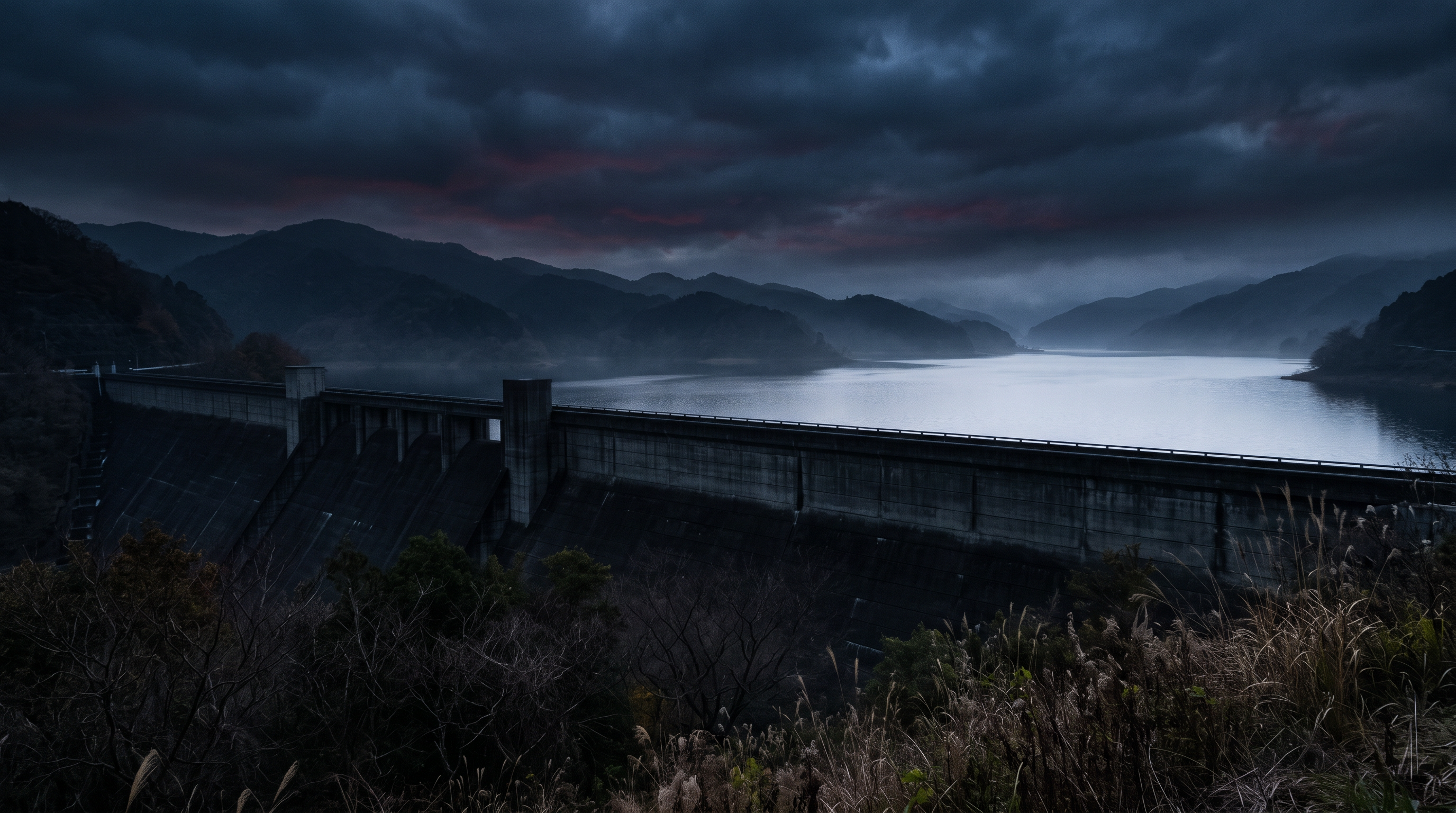
The nationwide paranormal map separates the descriptions of the area around Lake Tsukui and the area around Shiroyama Dam. The section around the lake mentions a story about a "woman in a white dress," while the dam section features rumors of the "ghost of a woman who committed suicide." The lake section also includes a story of passengers disappearing, but these cannot all be attributed to the same sightings that occurred at the dam itself. Read the text, keeping in mind the shifts in focus between the two areas.
Source of the rumor and date of verification
I referred to a nationwide paranormal map that lists Lake Tsukui and Shiroyama Dam together. The text is divided into paragraphs for the lake and the dam. Even though there are descriptions of clothing and occupation, I was not able to independently verify the date and time of the testimony, the records of the movements, or the original source of the eyewitness accounts.
- National Haunted Map: Shiroyama Dam(Confirmed on 2026-11-10) — Paranormal phenomena rumored to occur at Lake Tsukui (Shiroyama Dam)
A female ghost appears
Lake Tsukui
A woman wearing a white dress has been frequently spotted around Lake Tsukui.
It's a common trope in scary stories, but there are also tales of female passengers who were supposed to have been picked up by taxi drivers suddenly disappearing.
The nearby Mitsui Bridge is a notorious suicide spot, and the bodies of those who have died there lie at the bottom of Lake Tsukui.
This area is known for its many haunted spots, so if you're looking to test your courage, it's a good idea to explore the area around Lake Tsukui.
Shiroyama Dam
Occasionally, suicides by jumping into the dam occur, and perhaps because of this, it is rumored that the ghost of a woman who committed suicide there haunts Shiroyama Dam. The parking lot in this area is a rest stop for truck drivers, so there is a lot of traffic, and it seems that ghosts are frequently sighted there as well.
There are about 10 incidents and accidents recorded, the most shocking of which is a dismemberment murder that occurred in 1994. The perpetrator killed his father, stuffed the body into a bag, and threw it off a nearby cliff.
Check if there are ghosts nearby
Things that could be confirmed from official and primary source materials
The Kanagawa Prefectural Enterprise Agency describes the Shiroyama Dam as a facility completed in 1965 as a core facility of the Sagami River Comprehensive Development Joint Project. The reservoir is named Tsukui Lake, and it is a gravity-type concrete dam. The location is listed separately for the left and right banks, and its purposes, including flood control, water supply, industrial water, and power generation, are also confirmed. While the correspondence between the lake and the dam is clear, this does not provide evidence for the woman's eyewitness account.
- Kanagawa Prefectural Enterprise Agency(Confirmed on 2026-11-10) — Shiroyama Dam – Kanagawa Prefecture Homepage This site provides content and functions using JavaScript. Please enable JavaScript to use them. Skip to main content. Site Search Translate Read aloud / Furigana User Guide Kanagawa Prefecture Disaster Prevention and Emergency Information Menu Close Select to search Search by category Search by organization My Topics Home > Electronic Prefectural Government, Prefectural Administration, and Prefectural Affairs > Prefectural Land and Urban Development > Rivers, Dams, and Power Generation > Dams of the Enterprise Agency > Shiroyama Dam Show printable page Updated: October 15, 2026 This is the main content. Shiroyama Dam Shiroyama Dam Shiroyama Dam The Shiroyama Dam was completed in 1965 as a key facility of the Sagami River Comprehensive Development Joint Project, with the aim of securing water for drinking and power generation, as well as controlling floods, in response to the rapidly increasing water demand during the period of high economic growth. Specifications River System Sagami River System River Sagami River Reservoir Tsukui Lake Location Left bank: Shiroyama 1-chome, Midori-ku, Sagamihara City, Kanagawa Prefecture Right bank: Ooi, Midori-ku, Sagamihara City, Kanagawa Prefecture Year of Completion 1965 Purpose Flood control, water supply, industrial water, power generation Type Gravity concrete dam Dam Height 75.0 meters Crest Length 260.0 meters Gate Type Radial gates Catchment Area 1,201.3 square kilometers Reservoir Area 2.47 square kilometers Total Storage Capacity 62,300,000 cubic meters *Including surcharge capacity (3,500,000 cubic meters) Effective Storage Capacity 54,700,000 cubic meters *Including surcharge capacity (3,500,000 cubic meters) Normal Full Water Level Elevation 124.0 meters Usable Water Depth 29.0 meters Flood flow rate 1,500 cubic meters per second Shiroyama Dam Capacity Distribution Diagram List of Specifications of Dams Managed by Kanagawa Prefecture (PDF: 208KB) Related Facilities Related Power Plants Tsukui Power Plant Shiroyama Power Plant Related Equipment Debris Landing Facility When debris washes ashore due to typhoons, etc., a crane is positioned at the debris landing facility to carry out the lifting operation. The photo shows a crane actually positioned at the landing facility and carrying out debris lifting operation. Observation Deck There is an observation deck at Shiroyama Dam. You will reach the observation deck immediately after climbing the stairs. From the observation deck you can see the Shiroyama Dam embankment. Shiroyama Dam is equipped with 6 gates, numbered 1 to 6 from the left bank side. All 6 gates are radial gates that open in an arc shape. Signboards displaying dam discharge information Pamphlets Leaflets "Shiroyama Dam" Pamphlet "Half a Century of Tsukui Lake's History" Video "Shiroyama Dam Celebrates Half a Century" Special video commemorating the 50th anniversary of the completion of Shiroyama Dam Other dams and weirs Sagami Dam Numamoto Dam Doshi Dam Honzawa Dam Miho Dam Kumaki Dam Kurokura Dam Samukawa Intake Weir Makino Intake Weir Kushikawa Intake Weir Shinanoki Intake Weir Miyagase
Points of agreement/contradictions
The fact that Lake Tsukui is a reservoir for the Shiroyama Dam is separate from the fact that the events surrounding the lake concern the dam itself. The bridges and parking lots mentioned in the text cannot be identified solely from the addresses of the left and right banks listed in the official specifications. Even if the facility name and lake name match, this does not confirm the scope or number of sightings, so we will compare them scene by scene.
| The rumored atomic claim | Matching results | reason | Corresponding documents |
|---|---|---|---|
| A woman wearing a white dress | Unconfirmed | There are no original records or dates of sightings around the lake, and we cannot compare the subjects using the prefectural dam specifications. | No official data available for direct comparison. |
| The ghost of a woman who committed suicide appears. | Unconfirmed | There is no independent documentation linking the events to the appearance, and the completion or purpose of the facility does not constitute eyewitness evidence. | No official data available for direct comparison. |
Alternative interpretation
To compare the appearance of the lakeside and the accounts of passengers, we need the time, route, distance to the subject, and the original testimony. Even if the clothing is specific, that record cannot be substituted. This time, we are not explaining this through other passersby or changes in narrative, but rather concluding that there is a lack of conditions for comparison.
Scope and limitations of the investigation
This is based on a comparison of the prefecture's dam records with the introductory text. The original sources for bridge accident records, parking lot usage records, and passenger incidents have not been verified. The number of incidents and descriptions of individual incidents mentioned in the introductory text were not adopted as fact based solely on the materials available.
Verification result: Unmeasurable
The correspondence between the reservoir and the facilities is clear, but there are no records that independently compare the appearance of the area around the lake with the rumors about the woman at the dam. Aside from the mere coincidence of names, the two claims are immeasurable. Nor is this a judgment that integrates multiple scenes in the text into a single eyewitness account.
Document Quality Score
| Source transparency | 30/30 | You can find information on specifications and related facilities in documents individually released by the prefectural enterprise agency. |
|---|---|---|
| Historical and spatial context | 24/25 | The development project, completion year, and lake name are clearly stated, but the specific scenes mentioned in the rumors remain unconfirmed. |
| Safety information | 11/20 | While there are descriptions of the facilities and observation deck, the full terms and conditions for using the rumored bridge and parking lot remain unclear. |
| Newness of information | 14/15 | The update date is October 15, 2026, allowing you to track the publication date of the saved facility descriptions. |
| Transparency of the source of rumors | 3/10 | The sections on the lake and the dam are separate, but there is a lack of original records of eyewitness accounts and passenger testimonies. |
| total | 82/100 | This is the overall quality of the materials. It does not represent the degree of truthfulness or danger associated with the supernatural phenomena. |
Safety information and maps
This information about the lake area does not authorize free nighttime passage to bridges or parking lots. Please follow the prefectural visitor guidelines and on-site signs, and avoid loitering on roads or entering restricted areas. The map shows the approximate location of the dam.
Map location: This is a representative location of facilities and terrain. It does not indicate sighting locations, land divisions, entrances, or accessible areas.
2nd Place: Sagami Dam | Measurement Undetermined (81 points)
The rumored details
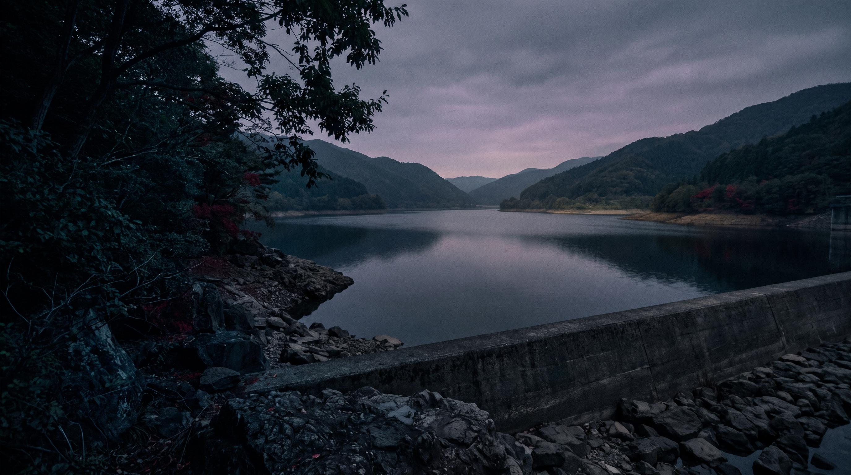
The description of Lake Sagami in the nationwide paranormal map includes an explanation of an accident: "The wooden pleasure boat Naigomaru sank." The same text also states that "the spirits of those who drowned have been sighted." While this concerns the reservoir of the Sagami Dam, the accident record and the later accounts of the sightings are separate claims. We have made it a point not to treat the details of the accident as being confirmed solely from this facility description.
Source of the rumor and date of verification
The source I referenced was the text for Lake Sagami in the National Haunted Map. While boat names and years are mentioned, I did not cross-reference them with the original accident reports. The description is for the lake as a whole, and the specific locations where the figure was allegedly seen cannot be placed in the same location as the dam itself.
- Nationwide Haunted Map: Sagami Dam(Confirmed on 2026-11-10) — Paranormal phenomena rumored to be occurring at Sagamiko Lake
A male ghost appears
In 1954, a wooden pleasure boat called the Uchigo Maru sank on Lake Sagami. The boat was carrying 75 junior high school students and 2 teachers on a school trip. While 53 of the students were successfully rescued, 22 died.
Because Lake Sagami is an artificial lake created by demolishing a village, it is said that houses and cemeteries are submerged at the bottom of the lake.
It is known locally as a haunted spot, and the spirits of those who drowned and those who committed suicide by jumping off a nearby bridge have been sighted there.
Check if there are ghosts nearby
Things that could be confirmed from official and primary source materials
The Kanagawa Prefectural Enterprise Agency describes the Sagami Dam as a key facility completed in 1947 as part of the Sagami River water control project. The reservoir is named Sagami Lake, and it is a gravity-type concrete dam. Its purpose is to secure water for drinking and power generation. The left and right banks are Yose and Wakayanagi in Midori Ward, Sagamihara City. The document used here is a description of the dam's specifications and facilities, and is not the original record of the ship accident.
- Kanagawa Prefectural Enterprise Agency(Confirmed on 2026-11-10) — Sagami Dam – Kanagawa Prefecture Homepage This site provides content and functions using JavaScript. Please enable JavaScript to use them. Skip to main content. Site Search Translate Read aloud / Furigana User Guide Kanagawa Prefecture Disaster Prevention and Emergency Information Menu Close Select to search Search by category Search by organization My Topics Home > Electronic Prefectural Government, Prefectural Administration, and Prefectural Affairs > Prefectural Land and Urban Development > Rivers, Dams, and Power Generation > Dams of the Enterprise Agency > Sagami Dam Show printable page Updated: May 19, 2026 This is the main content. Sagami Dam Sagami Dam Sagami Dam The Sagami Dam was completed in 1947 as a key facility of the Sagami River Water Control Project, with the aim of securing water for drinking, power generation, and irrigation. Specifications River System Sagami River System River Sagami River Reservoir Sagami Lake Location Left bank: Yose, Midori-ku, Sagamihara City, Kanagawa Prefecture Right bank: Wakayanagi, Midori-ku, Sagamihara City, Kanagawa Prefecture Year of Completion 1947 Purpose Water supply, industrial water, power generation Type Gravity concrete dam Dam height 58.4 meters Crest length 196.0 meters Gate type Roller gate Catchment area 1,016 square kilometers Reservoir area 3.26 square kilometers Total storage capacity 63,200,000 cubic meters Effective storage capacity 48,200,000 cubic meters Normal full water level Elevation 167.0 meters Usable water depth 22 meters Flood flow rate 600 cubic meters per second Sagami Dam Capacity Allocation Diagram List of Specifications of Dams Managed by Kanagawa Prefecture (PDF: 208KB) Related Facilities Related Power Plants Sagami Power Plant Related Facilities Spillway The Sagami Dam has a total of 5 gates. All 5 gates are roller gates that open and close vertically. Hoisting machines for opening and closing are installed between the gates. Each gate weighs 60 tons. Gate Hoisting Machines There is one hoisting machine for each gate, and it opens and closes with a single wire. Gate operation is controlled from the "Information Management Room" located in the adjacent dam management office, but when closing the gate completely, the closing operation is performed in this hoisting machine building to check for any abnormalities or malfunctions. Water Intake This is the inlet that sends water from Lake Sagami to the hydroelectric power plant (Sagami Power Plant). Two gates are installed to stop the water supply for adjusting the water intake or for power plant inspections. (Not included in the number of gates listed on the dam card) Signboards displaying dam discharge information Pamphlets Leaflet "Sagami Dam" Pamphlet "70 Years of Sagami Dam" (Created in 2017) Other dams and weirs Numamoto Dam Shiroyama Dam Doshi Dam Honzawa Dam Miho Dam Kumaki Dam Kurokura Dam Samukawa Intake Weir Makino Intake Weir Kushikawa Intake Weir Shinanoki Intake Weir Miyagase Dam/Ishikoya Dam (Sagami River System Wide Area Dam Management, Kanto Regional Development Bureau, Ministry of Land, Infrastructure, Transport and Tourism)
Points of agreement/contradictions
The prefecture's explanation shows the relationship between Lake Sagami and Sagami Dam, but it does not provide definitive information regarding the time, circumstances, or location of the sightseeing boat incident. Furthermore, the specificity of the accident information does not necessarily support the claim of a ghost sighting. We will compare the facility's history, the accident, and the eyewitness accounts as three separate entities.
| The rumored atomic claim | Matching results | reason | Corresponding documents |
|---|---|---|---|
| The wooden sightseeing boat Naigomaru sank. | Unconfirmed | The dam information provided by the prefecture for this project is not the original record of the accident, and therefore cannot be independently verified against the events involving the ship. | No official data available for direct comparison. |
| The spirits of those who drowned | Unconfirmed | There are no records to compare the location or date of the sighting, and the history of the dam's construction does not corroborate its appearance. | No official data available for direct comparison. |
Alternative interpretation
To examine the subject of the sighting, we need information about the shore where it was observed, the distance, the light, and the date and time. Without records, we also cannot know how knowledge of past accidents influenced the narrative. This time, the explanation is not based on changes in reflexes or memory, but rather on the lack of necessary material for comparison.
Scope and limitations of the investigation
This analysis uses individual dam documents from the prefecture and the text of rumors. Accident reports from sightseeing boats, news reports from the time, and original eyewitness accounts are not included in this comparison. The representative pin in the article is the dam itself and does not indicate the accident site or the range of eyewitness accounts throughout the entire lake.
Verification result: Unmeasurable
While we were able to confirm the relationship between the facility and the lake, the collected documents do not allow for independent comparison of the details of the boat incident with the eyewitness accounts. Aside from the matching names, the two claims in question are unmeasurable. We have not concluded that there was no accident, nor that there is a connection between the accident and the supernatural occurrence.
Document Quality Score
| Source transparency | 30/30 | The Kanagawa Prefectural Enterprise Agency's individual documents clearly show the names of the dams and reservoirs, as well as the entity that made them public. |
|---|---|---|
| Historical and spatial context | 24/25 | While the completion year and the history of the control project are known, the original documents regarding the ship's accident remain unconfirmed. |
| Safety information | 10/20 | While the functions of the facilities are explained, this document does not determine the usage conditions for the entire lake area. |
| Newness of information | 13/15 | The prefectural website has an update date of May 2026, allowing you to check the date it was last published. |
| Transparency of the source of rumors | 4/10 | The ship's name and year are specific, but the original records and the source of the eyewitness accounts have not been traced independently. |
| total | 81/100 | This is the overall quality of the materials. It does not represent the degree of truthfulness or danger associated with the supernatural phenomena. |
Safety information and maps
The introduction to Lake Sagami and the guided tour of the dam facilities are for different purposes. When entering the lakeshore or management facilities, please prioritize the signs and instructions from the management staff at each location, and do not equate the representative pin with the entrance or a safe waterside location.
Map location: This is a representative location of facilities and terrain. It does not indicate sighting locations, land divisions, entrances, or accessible areas.
3rd Place: Miho Dam | Measurement Undetermined (81 points)
The rumored details
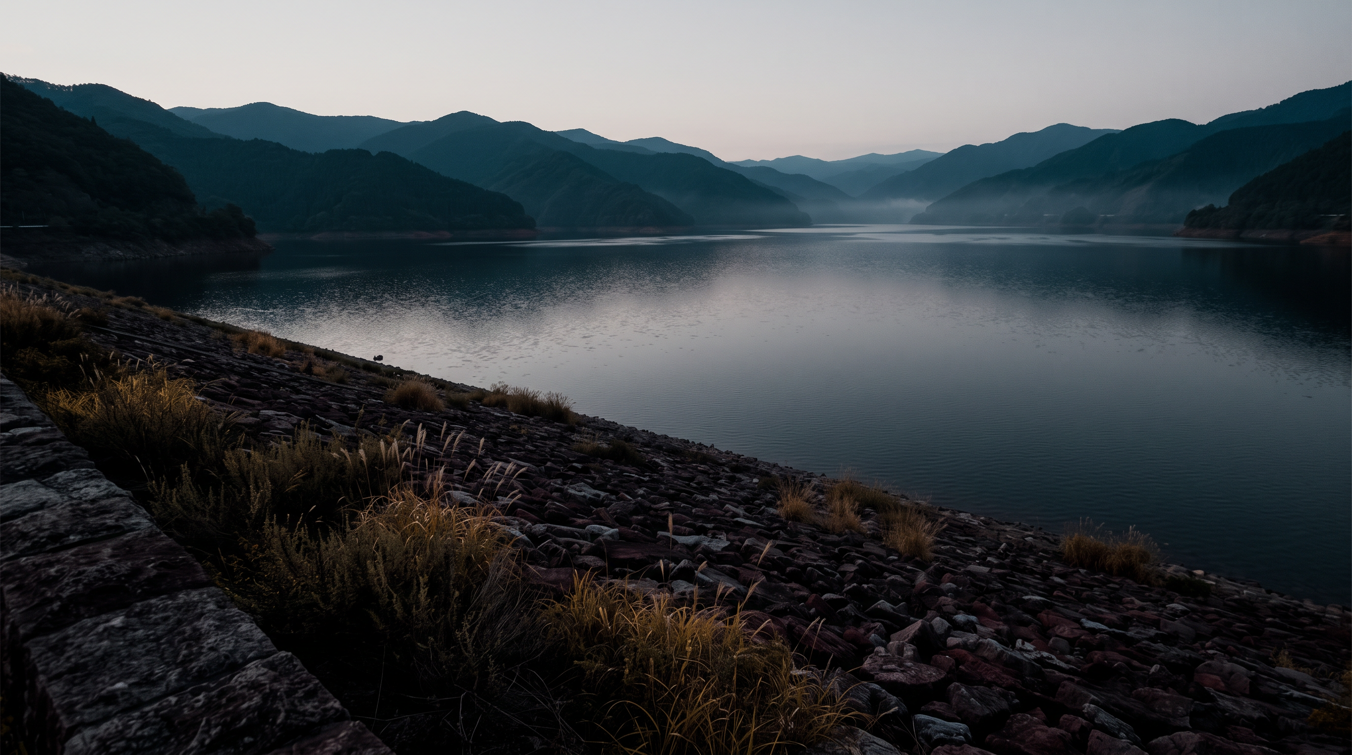
The description of Miho Dam in the nationwide paranormal map mentions rumors of "figures appearing on the bridge" and accounts of people experiencing "headaches" when approaching it. It also includes descriptions of the surrounding tunnels and past water-related incidents, but it's not possible to confirm that these events occurred at the same location or time as the bridge. Read the descriptions of the water-related incidents without linking them to the cause of the sightings.
Source of the rumor and date of verification
The text used is the description of Miho Dam from the National Haunted Map. While bridges and forest roads are mentioned, the official names of the bridges, the date of observation, and the original images are unknown. Regarding the personal experiences, it is necessary to distinguish between the accounts of the experiences and the written descriptions of those people that were added later.
- Nationwide Haunted Map: Miho Dam(Confirmed on 2026-11-10) — Paranormal phenomena rumored to be occurring at Miho Dam
A female ghost appears
A human figure can be seen.
Below the Miho Dam lies a town that was submerged. This area is also where 13 lives were lost in a drowning accident in 1999.
Given that so many lives were lost there, sightings of paranormal activity are rampant. People with psychic abilities say it's a place where spirits are present. Apparently, just getting close to it can cause headaches.
There are rumors of figures appearing on the bridge. The tunnel on the forest road leading to the dam plaza also has an eerie atmosphere.
Check if there are ghosts nearby
Things that could be confirmed from official and primary source materials
The Kanagawa Prefectural Enterprise Agency explains that the Miho Dam was completed in 1979 as a key facility of the Sakawa River Comprehensive Development Project. The river is the Kawachi River, the reservoir is Lake Tanzawa, and it is a rockfill dam. Its purposes include securing water for drinking and power generation, and flood control. This is documentation of the facility's origins and structure, and does not record the silhouettes of people on the bridge or changes in their physical condition.
- Kanagawa Prefectural Enterprise Agency(Confirmed on 2026-11-10) — Miho Dam – Kanagawa Prefecture Homepage This site provides content and functions using JavaScript. Please enable JavaScript to use them. Skip to main content. Site Search Translate Read aloud / Furigana User Guide Kanagawa Prefecture Disaster Prevention and Emergency Information Menu Close Select to search Search by category Search by organization My Topics Home > Electronic Prefectural Government, Prefectural Administration, and Prefectural Affairs > Prefectural Land and Urban Development > Rivers, Dams, and Power Generation > Dams of the Enterprise Agency > Miho Dam Show printable page Updated: May 19, 2026 This is the main content. Miho Dam The Miho Dam was completed in 1979 as a key facility of the Sakawa River Comprehensive Development Project, with the aim of securing water for drinking and power generation, as well as controlling floods, in response to the rapid increase in water demand that began in the 1960s. Specifications River System: Sakawa River System River: Kawachi River Reservoir: Tanzawa Lake Location: Kamiota, Yamakita-cho, Ashigarakami-gun, Kanagawa Prefecture Year of Completion: 1979 Purpose: Flood control, water supply, power generation Type: Rockfill dam Dam Height: 95.0 meters Crest Length: 587.7 meters Gate Type: Radial gate, roller gate Catchment Area: 158.5 square kilometers Reservoir Area: 2.18 square kilometers Total Storage Capacity: 64,900,000 cubic meters Effective Storage Capacity: 54,500,000 cubic meters Normal Full Water Level: Elevation 321.5 meters Usable Water Depth: 39.2 meters Flood Flow Rate: 800 cubic meters per second Miho Dam Capacity Allocation Diagram List of Specifications for Dams Managed by Kanagawa Prefecture (PDF: 208KB) Related Facilities Related Power Plants Tanoiri Power Plant (managed by Tokyo Electric Power Company, Inc.), Arashi Power Plant (managed by Tokyo Electric Power Renewable Power Co., Inc.) Related Facilities Normal Discharge Facility This facility consists of tunnels, steel pipelines, and other structures installed to channel water from Lake Tanzawa downstream through hydroelectric power plants. At Miho Dam, water is sent to the Tanoiri Power Plant and the Arashi Power Plant. When there is no heavy rain and the inflow from upstream is small, this facility alone is used to channel water downstream. Spillway This facility is used when the inflow increases due to heavy rain and the normal discharge facility cannot handle the volume of water. Miho Dam has five of these, one of which is a roller gate (opens and closes vertically), and the other four are radial gates (opens and closes in an arc). Bottom Discharge Facility This facility is used to channel water from Lake Tanzawa downstream when the normal discharge facility or spillway cannot be used due to inspection or malfunction. It is connected to a drainage shaft located on the lakebed upstream of the spillway, allowing water from Lake Tanzawa to be discharged. We have created a signpost with dam discharge information, a pamphlet for the "Miho Dam" pamphlet, and a video introducing the dam facilities (aerial footage). Other dams and weirs: Sagami Dam, Numamoto Dam, Shiroyama Dam, Doshi Dam, Honzawa Dam, Kumaki Dam, Kurokura Dam, Samukawa Intake Weir
Points of agreement/contradictions
According to prefectural documents, Lake Tanzawa is the name of a reservoir. This does not provide a basis for treating the rumored bridge and tunnel locations as the same as the representative location of the dam. Furthermore, given the facility's completion and its role in flood control, it's impossible to confirm a causal relationship between the water-related incidents and the strange occurrences described. We will compare the information by dividing it into separate sections.
| The rumored atomic claim | Matching results | reason | Corresponding documents |
|---|---|---|---|
| A figure appears on the bridge. | Unconfirmed | There are no other records to identify the bridge or corroborate the observation date and time, and it does not directly correspond to the prefectural facility's information. | No official data available for direct comparison. |
| I get a headache. | Unconfirmed | There are no records of the environment or measurements taken during the experience, and therefore the cause of the sensation cannot be determined from the facility's history. | No official data available for direct comparison. |
Alternative interpretation
To analyze the figure on the bridge, we need the direction from which it was viewed, the lighting, the distance, and the traffic conditions at the same time. For the headache, separate records of physical condition and the environment are necessary. In this case, there are no records, and we cannot assume that it could be explained by reflexes, other passersby, or changes in physical condition.
Scope and limitations of the investigation
This comparison is limited to the prefectural facility introductions and the articles about rumors. It does not include original documents related to water-related incidents, bridge management records, or health measurement records. It also does not include statistics compiled from events in the lake and surrounding areas at the dam itself, nor does it verify current traffic conditions.
Verification result: Unmeasurable
While the history of the facility is clear, there is no record that independently compares the descriptions of people on the bridge and headaches. The mere correspondence of lake names is not sufficient to consider it a partial match; the two claims are deemed incomparable. Furthermore, this does not constitute a determination that the cause was related to water-related incidents in the surrounding area.
Document Quality Score
| Source transparency | 30/30 | You can find the specifications and the entities that make the information publicly available in the individual documents from the Kanagawa Prefectural Enterprise Agency. |
|---|---|---|
| Historical and spatial context | 24/25 | The completion year, development project, and lake name are clearly stated, but the history of the rumored scene remains unconfirmed. |
| Safety information | 11/20 | There are explanations about flood control and facilities, but the conditions for using the rumored bridge and forest road are unclear. |
| Newness of information | 13/15 | The prefectural website has an update date of May 2026, allowing you to check the date it was last published. |
| Transparency of the source of rumors | 3/10 | While we can distinguish between accounts of human figures and subjective perceptions, there is a lack of references to eyewitness accounts and original records. |
| total | 81/100 | This is the overall quality of the materials. It does not represent the degree of truthfulness or danger associated with the supernatural phenomena. |
Safety information and maps
Miho Dam is a facility responsible for flood control and water utilization. Do not rely on the representative pin to determine whether to pass bridges or forest roads; please follow the prefectural user guidelines and on-site signs. This map is not intended to show you how to approach management facilities or closed sections.
Map location: This is a representative location of facilities and terrain. It does not indicate sighting locations, land divisions, entrances, or accessible areas.
What I learned by crossing locations
According to prefectural records, the completion years are 1947 for Sagami, 1965 for Shiroyama, and 1979 for Miho. We can compare the history of their development for water use and flood control. On the other hand, the text of the rumor broadens its scope to include bridges, parking lots, and the entire lake. Even though it appears to be about the same lake, it is not possible to overlay everything onto a representative location of a single dam. In particular, given the older completion years, we have avoided making estimations about the timing of the rumor's occurrence or its relationship to accidents.
summary
While we were able to confirm the correspondence between the three dams and the lake, there is a lack of records that allow for independent comparison of the appearance of the bridge and sightings on the lake. The story about the sightseeing boat in the main text about Lake Sagami is also not based solely on this dam introduction, and the details of the accident have not been confirmed. When investigating further, searching separately for facility specifications, original records of individual events, and the first appearance of rumors will help distinguish between facts and explanations that were added later.
FAQ
Are Miho Dam and Tanzawa Lake considered the same thing?
According to prefectural documents, Lake Tanzawa is the name of the reservoir of the Miho Dam. While the relationship between the facility and the lake can be confirmed, this does not mean that all the bridges and forest roads along the lakeshore can be pointed to a single point on the dam itself.
Is the rumor about the woman at Lake Tsukui related to a sighting of the Shiroyama Dam itself?
The introductory text separates the area around the lake from the area around the dam. It's not possible to attribute all of the woman's account of the sighting at the dam itself, and the representative pin doesn't indicate a specific sighting location.
Can you confirm any accidents involving sightseeing boats from the year the Sagami Dam was completed?
No, that's not possible. The completion year is a record of the facility's construction. Information about the ship incident requires separate source records, and we haven't cross-referenced the details of the accident solely based on this prefectural dam introduction.
How to read this article and safety precautions
" [2026 Latest] Top 3 Ranking of Paranormal Rumors at 3 Dam Lakes in Kanagawa Prefecture This is an article compiled by the Horror Tales File editorial team as a story, based on publicly available information, rumors circulating in the community, and information submitted by readers. It does not definitively state the authenticity of paranormal phenomena.
- We do not recommend visiting restricted areas, private property, abandoned buildings, or dangerous locations at night.
- If you go to the site, always prioritize compliance with laws and regulations, instructions from facility managers, and consideration for nearby residents.
- You can submit personal experiences, correction requests, and deletion requests through the "Personal Experiences/Information Submission" or "Contact Us" sections.
View editorial policy / Please share your experiences and information here. / inquiry