[2026 Latest] Top 9 Haunted Waterfront (Waterfalls, Lakes, Dams, Sea) Spots in the Kinki Inland and Kii Region | Introducing Scary Places and Rumors
近畿内陸・紀伊に伝わる水辺(滝・湖・ダム・海)系の心霊スポットを、噂の多さ・恐怖度から整理しました。
⚠️ Entering these locations without permission may constitute trespassing. This article is for informational purposes only and does not recommend visiting.
Ranking criteria:
- 👻 Fear level: Frequency and intensity of paranormal phenomena sightings
- ⚠️ Danger level: Physical hazards (collapse, restricted access, etc.)
- 📍 access: Accessibility (e.g., accessible by car/only accessible on foot)
第1位: 三段壁(和歌山県)
basic information
- location: Wakayama Prefecture
- kinds: 近畿内陸・紀伊の水辺(滝・湖・ダム・海)系心霊スポット
- Fear level: ★★★★★ (5/5)
- Danger level: ★★★★★ (5/5)
- access: Entry may be restricted depending on local conditions. Please check the latest information before visiting.
Paranormal phenomena and sightings
- Sightings of figures or presences
- Rumors that footsteps and other noises can be heard.
- Reports of inexplicable shadows appearing in photos and videos.
- Personal accounts of the air suddenly becoming heavy at night.
Actual experiences
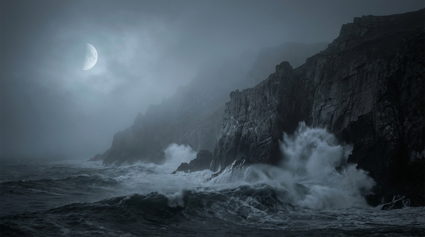
This spot is known as both a tourist attraction and a suicide spot, and there are many reports of paranormal sightings. Reports of figures beckoning from the cliffs and ghosts floating on the surface of the sea are constant. In addition to the horror of the ghost stories, attention should also be paid to the safety and rights issues of the area.
Access/Directions
📍 Check the location
⚠️ Notes: Unauthorized entry may constitute trespassing. Never enter dangerous areas or private property; limit your visit to exterior inspections and viewing surrounding information.
第2位: 大池遊園(和歌山県)
basic information
- location: Wakayama Prefecture
- kinds: 近畿内陸・紀伊の水辺(滝・湖・ダム・海)系心霊スポット
- Fear level: ★★★★★ (5/5)
- Danger level: ★★★★★ (5/5)
- access: Entry may be restricted depending on local conditions. Please check the latest information before visiting.
Paranormal phenomena and sightings
- Sightings of figures or presences
- Rumors that footsteps and other noises can be heard.
- Reports of inexplicable shadows appearing in photos and videos.
- Personal accounts of the air suddenly becoming heavy at night.
Actual experiences
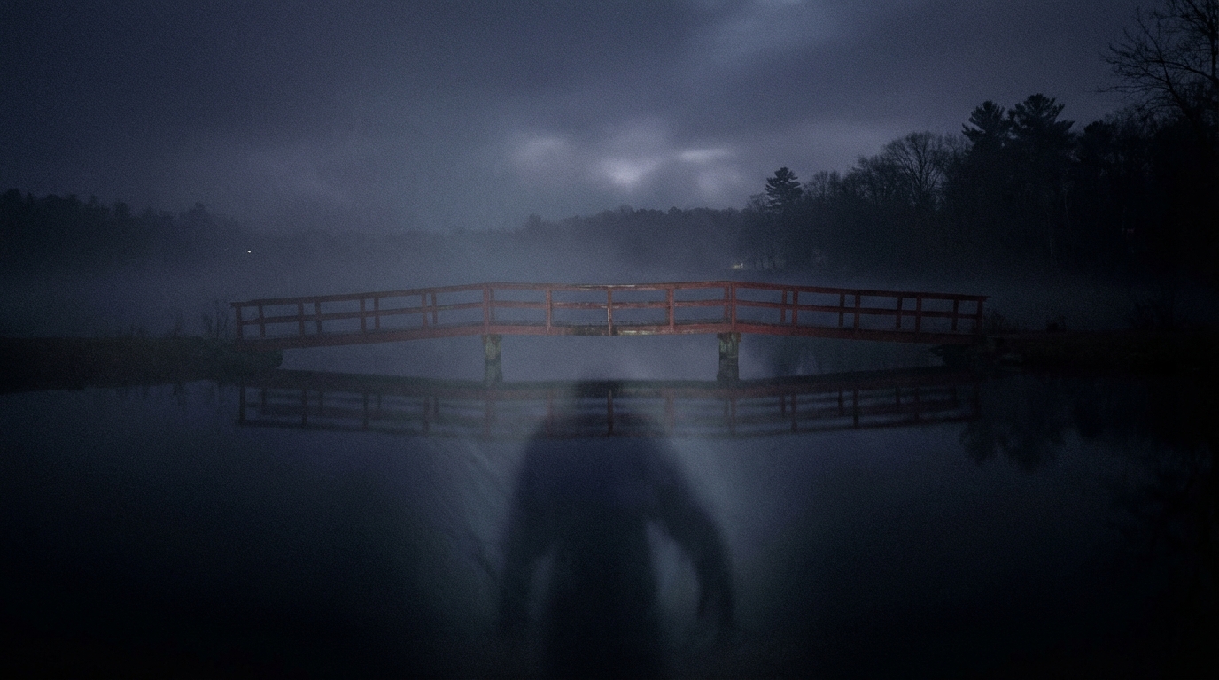
This spot is known for its historical incidents and accidents around the pond, and for rumors of hands reaching out from the water. It is also said that the ghost of a woman in white clothing is frequently sighted near the red bridge.
Access/Directions
📍 Check the location
⚠️ Notes: Unauthorized entry may constitute trespassing. Never enter dangerous areas or private property; limit your visit to exterior inspections and viewing surrounding information.
第3位: 椿温泉の廃ホテル群(和歌山県)
basic information
- location: Wakayama Prefecture
- kinds: 近畿内陸・紀伊の水辺(滝・湖・ダム・海)系心霊スポット
- Fear level: ★★★★★ (5/5)
- Danger level: ★★★★★ (5/5)
- access: Entry may be restricted depending on local conditions. Please check the latest information before visiting.
Paranormal phenomena and sightings
- Sightings of figures or presences
- Rumors that footsteps and other noises can be heard.
- Reports of inexplicable shadows appearing in photos and videos.
- Personal accounts of the air suddenly becoming heavy at night.
Actual experiences
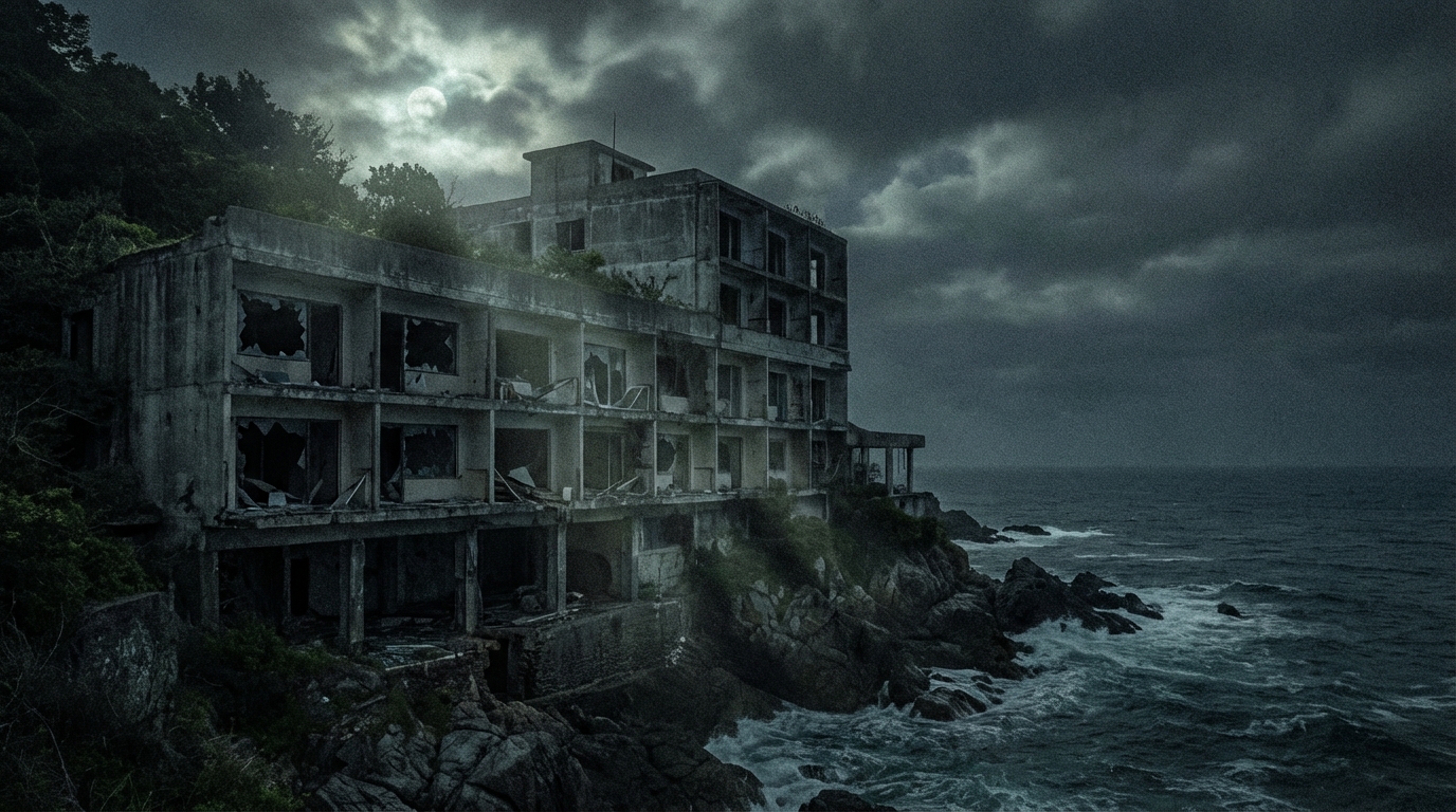
"The abandoned buildings lining the former hot spring town are known as a spot with an eerie atmosphere. Lights have been seen coming from buildings that should be empty, and figures have been spotted looking down from windows," is one of the reports that remain about this spot. In addition to the horror of ghost stories, attention should also be paid to the safety and property rights of the area.
Access/Directions
📍 Check the location
⚠️ Notes: Unauthorized entry may constitute trespassing. Never enter dangerous areas or private property; limit your visit to exterior inspections and viewing surrounding information.
第4位: 天理ダム(奈良県)
basic information
- location: Nara Prefecture
- kinds: 近畿内陸・紀伊の水辺(滝・湖・ダム・海)系心霊スポット
- Fear level: ★★★★ (4/5)
- Danger level: ★★★★ (4/5)
- access: Entry may be restricted depending on local conditions. Please check the latest information before visiting.
Paranormal phenomena and sightings
- Sightings of figures or presences
- Rumors that footsteps and other noises can be heard.
- Reports of inexplicable shadows appearing in photos and videos.
- Personal accounts of the air suddenly becoming heavy at night.
Actual experiences
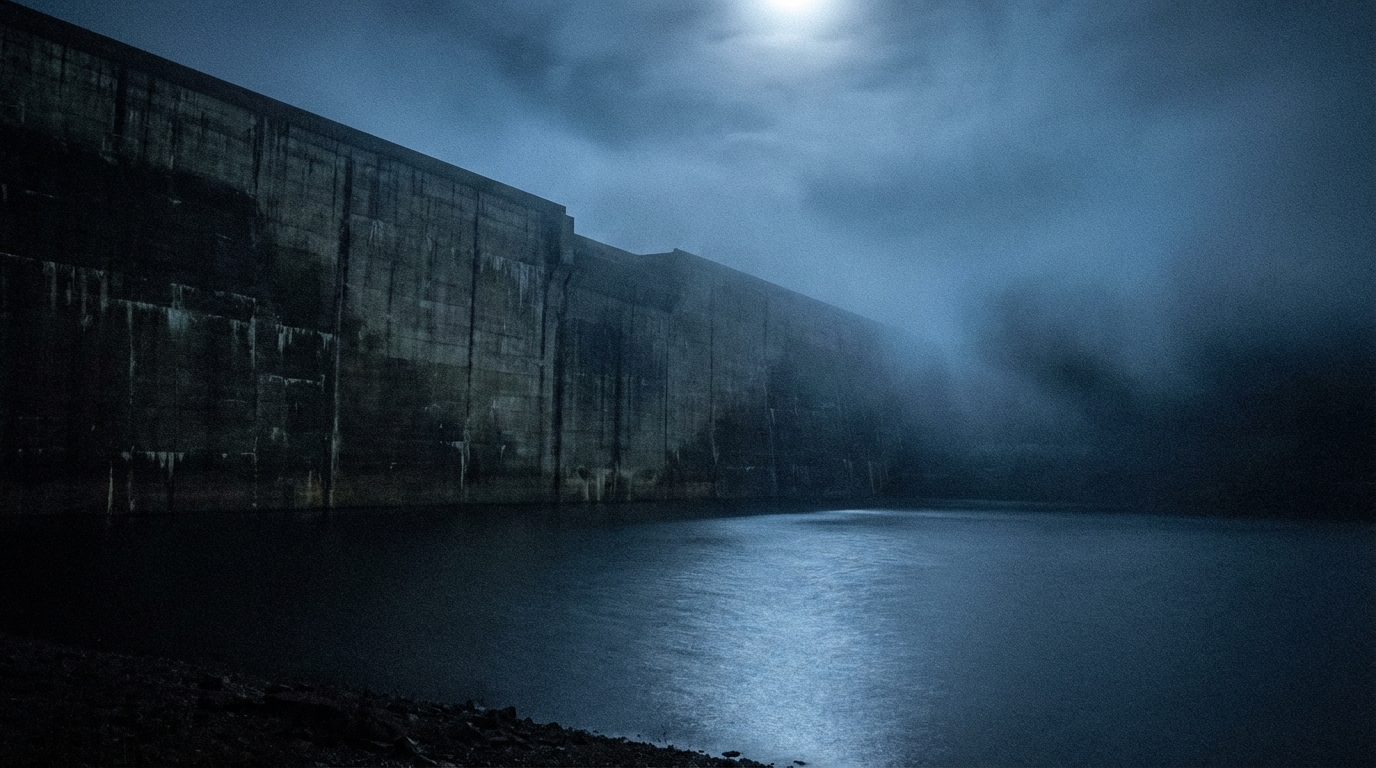
This spot has the unfortunate reputation of being a suicide spot, with testimonies of people seeing a hand reaching up from the bottom of the dam. There have also been reports of strange phenomena, such as a blood-covered figure appearing in the rearview mirror while driving on nearby roads late at night. It's a place that's not only frightening as a ghost story, but also requires attention to local safety and property rights.
Access/Directions
📍 Check the location
⚠️ Notes: Unauthorized entry may constitute trespassing. Never enter dangerous areas or private property; limit your visit to exterior inspections and viewing surrounding information.
第5位: 桃尾の滝(奈良県)
basic information
- location: Nara Prefecture
- kinds: 近畿内陸・紀伊の水辺(滝・湖・ダム・海)系心霊スポット
- Fear level: ★★★★ (4/5)
- Danger level: ★★★★ (4/5)
- access: Entry may be restricted depending on local conditions. Please check the latest information before visiting.
Paranormal phenomena and sightings
- Sightings of figures or presences
- Rumors that footsteps and other noises can be heard.
- Reports of inexplicable shadows appearing in photos and videos.
- Personal accounts of the air suddenly becoming heavy at night.
Actual experiences
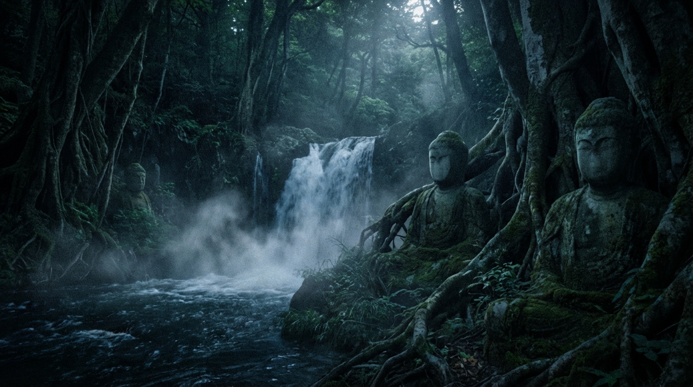
This spot has a long history as a training ground, but it's said that if you visit at night, a woman in white will appear from the waterfall basin. It's also famous as a place where paranormal photos are easily taken, and countless orbs and human faces sometimes appear in them.
Access/Directions
📍 Check the location
⚠️ Notes: Unauthorized entry may constitute trespassing. Never enter dangerous areas or private property; limit your visit to exterior inspections and viewing surrounding information.
6th Place: Usogawa Dam (Shiga Prefecture)
basic information
- location: Shiga Prefecture
- kinds: 近畿内陸・紀伊の水辺(滝・湖・ダム・海)系心霊スポット
- Fear level: ★★★★ (4/5)
- Danger level: ★★★★ (4/5)
- access: Entry may be restricted depending on local conditions. Please check the latest information before visiting.
Paranormal phenomena and sightings
- Sightings of figures or presences
- Rumors that footsteps and other noises can be heard.
- Reports of inexplicable shadows appearing in photos and videos.
- Personal accounts of the air suddenly becoming heavy at night.
Actual experiences
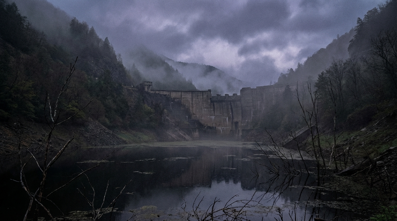
This spot is known for reports of sightings of a female ghost in white clothing in public restrooms and observation decks around the dam. There are also reports of voices being heard from places where no one should be if you visit at night. In addition to its frightening nature as a ghost story, it's important to be aware of local safety and property rights issues.
Access/Directions
📍 Check the location
⚠️ Notes: Unauthorized entry may constitute trespassing. Never enter dangerous areas or private property; limit your visit to exterior inspections and viewing surrounding information.
7th Place: Seta no Karahashi Bridge (Shiga Prefecture)
basic information
- location: Shiga Prefecture
- kinds: 近畿内陸・紀伊の水辺(滝・湖・ダム・海)系心霊スポット
- Fear level: ★★★★ (4/5)
- Danger level: ★★★★ (4/5)
- access: Entry may be restricted depending on local conditions. Please check the latest information before visiting.
Paranormal phenomena and sightings
- Sightings of figures or presences
- Rumors that footsteps and other noises can be heard.
- Reports of inexplicable shadows appearing in photos and videos.
- Personal accounts of the air suddenly becoming heavy at night.
Actual experiences
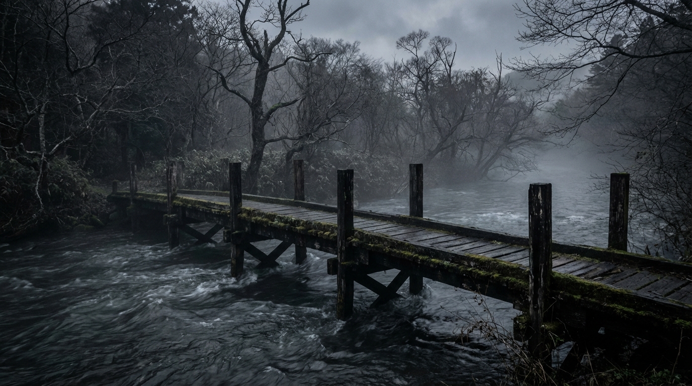
This spot is known as one of Japan's three most famous bridges, but it's also said to be haunted by the spirits of samurai warriors because it was once a battlefield. There's a legend that if you stop in the middle of the bridge late at night, you'll hear voices calling from the riverbed. Besides its spooky nature as a ghost story, it's important to be aware of local safety and property rights.
Access/Directions
📍 Check the location
⚠️ Notes: Unauthorized entry may constitute trespassing. Never enter dangerous areas or private property; limit your visit to exterior inspections and viewing surrounding information.
第8位: 琵琶湖大橋(滋賀県)
basic information
- location: Shiga Prefecture
- kinds: 近畿内陸・紀伊の水辺(滝・湖・ダム・海)系心霊スポット
- Fear level: ★★★★ (4/5)
- Danger level: ★★★★ (4/5)
- access: Entry may be restricted depending on local conditions. Please check the latest information before visiting.
Paranormal phenomena and sightings
- Sightings of figures or presences
- Rumors that footsteps and other noises can be heard.
- Reports of inexplicable shadows appearing in photos and videos.
- Personal accounts of the air suddenly becoming heavy at night.
Actual experiences
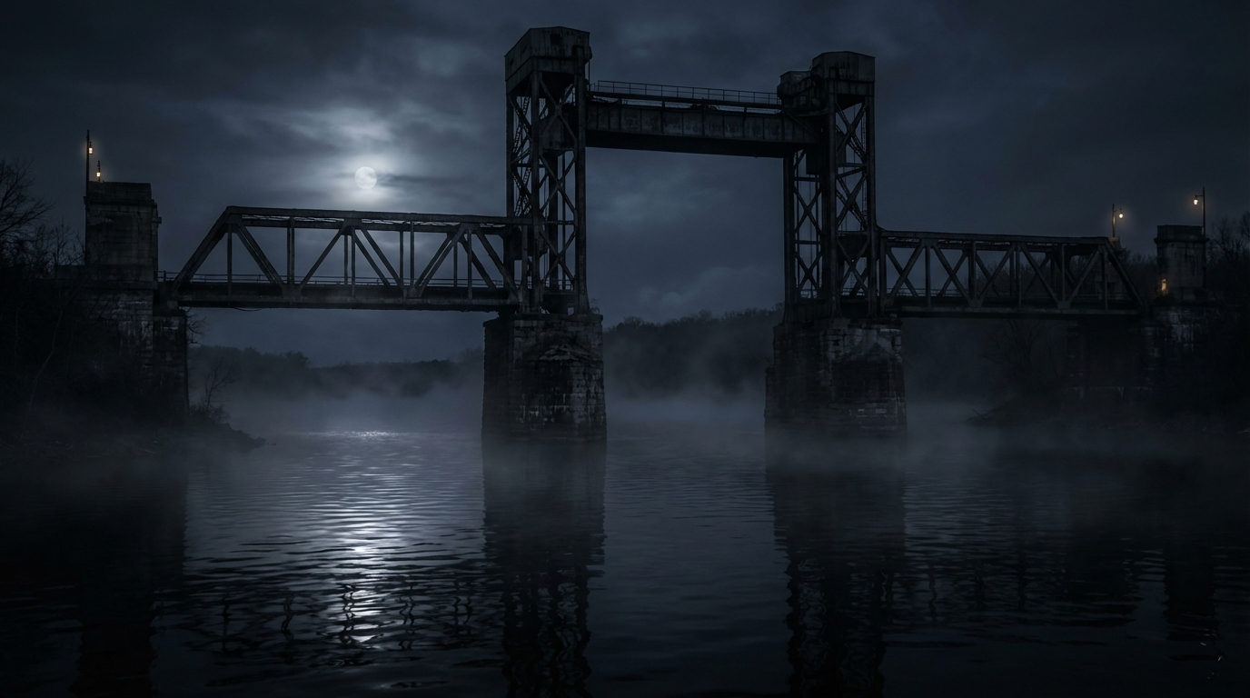
This spot is known as a suicide spot, and there are reports of eerie shadows being seen walking across the bridge at night. There are also famous rumors of hands emerging from the lake or spirits getting into cars. In addition to the horror of the ghost stories, attention should be paid to the safety and property rights of the area.
Access/Directions
📍 Check the location
⚠️ Notes: Unauthorized entry may constitute trespassing. Never enter dangerous areas or private property; limit your visit to exterior inspections and viewing surrounding information.
第9位: 近江大橋(滋賀県)
basic information
- location: Shiga Prefecture
- kinds: 近畿内陸・紀伊の水辺(滝・湖・ダム・海)系心霊スポット
- Fear level: ★★★★ (4/5)
- Danger level: ★★★★ (4/5)
- access: Entry may be restricted depending on local conditions. Please check the latest information before visiting.
Paranormal phenomena and sightings
- Sightings of figures or presences
- Rumors that footsteps and other noises can be heard.
- Reports of inexplicable shadows appearing in photos and videos.
- Personal accounts of the air suddenly becoming heavy at night.
Actual experiences
This spot is known for its high number of suicides by jumping from heights and the constant stream of paranormal sightings. There's a legend that goes around telling of people seeing an eerie figure driving alongside their car outside the window late at night. Beyond the horror of the ghost stories, it's important to be aware of the safety and property rights issues at the site.
Access/Directions
📍 Check the location
⚠️ Notes: Unauthorized entry may constitute trespassing. Never enter dangerous areas or private property; limit your visit to exterior inspections and viewing surrounding information.
summary
We've presented a ranking of haunted places.
All of these locations have been reported to have intense paranormal activity, so extreme caution is advised when visiting.
⚠️ Again, unauthorized entry into these locations may constitute trespassing. Always obtain permission beforehand and take safety precautions when visiting.
Related articles
- [2026 Latest] Top 10 Haunted Waterfront (Waterfalls, Lakes, Dams, Sea) Spots in the Kinki Region | Introducing Scary Places and Rumors
- [2026 Latest] Top 10 Haunted Waterfront (Waterfalls, Lakes, Dams, Sea) Spots in Chugoku and Shikoku Regions | Introducing Scary Places and Rumors
- [2026 Latest] Top 10 Haunted Waterfront (Waterfalls, Lakes, Dams, Sea) Spots in Hokkaido and Tohoku | Introducing Scary Places and Rumors
🎬 Let's continue the horror experience with horror movies
After experiencing the terror of a haunted spot, why not continue your horror adventure with a horror movie?
Recommended horror movies
- shutter — A horror film from Thailand set in an abandoned hospital
- REC — Depicting the horrors that unfold in a closed-off building in real time.
- Incoming call — Japan's representative J-horror
👉 Enjoy horror works even more
- TSUTAYA DISCAS — You can find horror movies and older DVDs that aren't available for streaming through home delivery rental.
- Geo Home Delivery Rental — You can rent J-horror and supernatural movie DVDs to your home.
- DMM Books — You can read horror manga and ghost stories as ebooks.
- Ameba Manga — Easy to find horror and suspense manga
- Audible — Enjoy audio readings of ghost stories and horror novels.


How to read this article and safety precautions
「【2026年最新】近畿内陸・紀伊の水辺(滝・湖・ダム・海)系心霊スポットランキングTOP9|怖い場所と噂を紹介」は、公開情報・地域で語られる噂・読者から寄せられた情報をもとに、怖話ファイル編集部が読み物として整理した記事です。心霊現象の真偽を断定するものではありません。
- We do not recommend visiting restricted areas, private property, abandoned buildings, or dangerous locations at night.
- If you go to the site, always prioritize compliance with laws and regulations, instructions from facility managers, and consideration for nearby residents.
- You can submit personal experiences, correction requests, and deletion requests through the "Personal Experiences/Information Submission" or "Contact Us" sections.
View editorial policy / Please share your experiences and information here. / inquiry
📊 How scary is this haunted spot?
Current average: ☆☆☆☆☆ (0) | Number of votes: 0
👻 Your reaction
📝 Share your experience
If you've had a scary experience at this spot, please share it (it will be published after review).