A white hand captured in a photograph of cherry blossoms at night, the taboo of looking back on the way home from the mountains, a light seen offshore from the cape. Comparing the rumors surrounding the three parks in Sanyo-Onoda City with the city's guide, while the facility descriptions can be verified, the original records of photographs and eyewitness accounts remain a question. Even within the same city, there are differences in what can be verified using available documentation.
Survey methods and evaluation criteria
We compared the text from the National Haunted Map saved on October 21, 2026, with the information provided by Sanyo-Onoda City. The judgments are categorized into five types: match, partial match, mismatch, immeasurable, and new fact. Priority is given to the agreement or refutation of specific claims, and only when a comparison is not possible will we consider finding independent materials that change the understanding of the rumor. Regular facility introductions are not counted as discoveries. The rankings and scores are based on the quality of the materials, evaluated on the following points: transparency of source (30 points), historical/spatial context (25 points), safety information (20 points), freshness of information (15 points), and transparency of the rumor's source (10 points), and do not reflect the level of fear, danger, or the likelihood of the supernatural occurrences actually happening.
| Rank | point | The main points of the rumor | judgement | Document quality |
|---|---|---|---|---|
| 1 | Wakayama Park | The entry for Wakayama Park on the nationwide paranormal map mentions "facilities such as an outdoor stage," and also states that "ghost photos can be taken" if you take pictures with the cherry blossoms at night in the background. A white hand on the shoulder… | Partial match | 80/100 |
| 2 | Ryuo Mountain Park | The National Ghost Map describes Ryuo-zan Park as a place where "the ghost of a man appears." In addition to a story about a man's head appearing in a photograph of a car, there are also accounts of people looking back on their way home at night... | unmeasurable | 78/100 |
| 3 | Motoyama Cape Park | The entry for Motoyama Cape Park on the nationwide paranormal map mentions rumors of a fisherman at night seeing a mysterious luminous object at sea and being spoken to by a male ghost. The light at sea and the man… | unmeasurable | 77/100 |
1st Place: Wakayama Park | Partial Match (80 points)
The rumored details
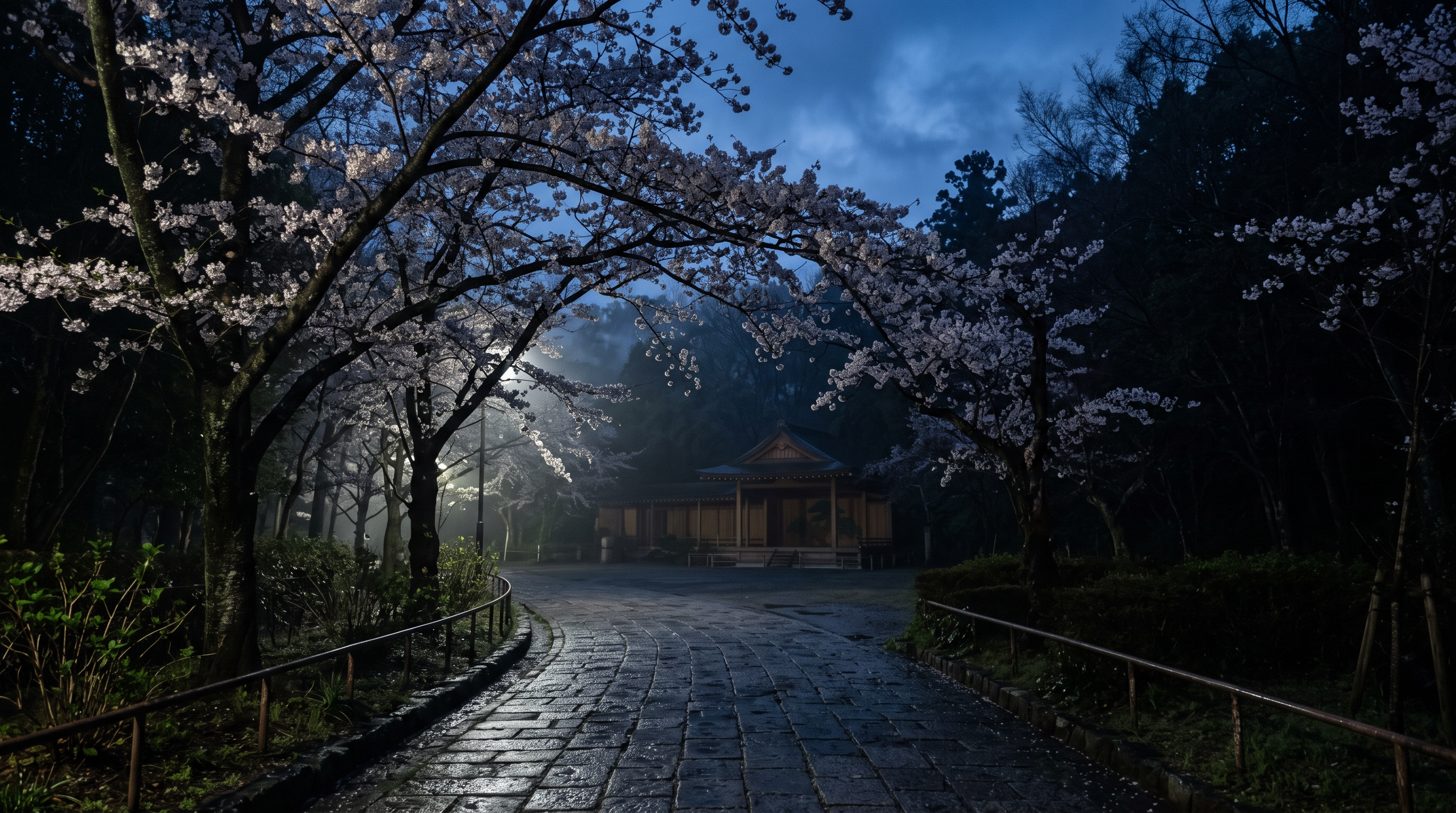
The entry for Wakayama Park on the National Haunted Map mentions "facilities such as an outdoor stage," and also states that "ghost photos can be taken" when photographed with the cherry blossoms at night in the background. The description mentions a white hand appearing on the shoulder and a hazy appearance, but the photographer, date and time of the photo, and original image are not provided.
Source of the rumor and date of verification
An example of a rumor being posted is the Wakayama Park page on the National Haunted Map. The text was referenced from a copy saved on October 21, 2026. This is not a document where the initial appearance of the experience or the photographer's first report could be confirmed; it is treated as a secondary example introducing a story based on a photograph.
- Nationwide Haunted Map - Wakayama Park(Confirmed on 2026-10-21) — Facilities such as a statue of Junpachi Kasai and an outdoor stage are available.
It seems that sometimes people who go to see the cherry blossoms at night take commemorative photos with the blossoms in the background, and these photos end up looking like they have ghosts in them.
Things that could be confirmed from official and primary source materials
According to the Sanyo-Onoda City guide, Wakayama Park originated in 1934 when Junpachi Kasai developed his private garden. The city also provides information on the outdoor stage and walking paths, and mentions 300 cherry trees and 200 azalea bushes. Advance application is required to use the stage, and there are separate conditions regarding hours, holidays, and fees from the general park information.
- Sanyo-Onoda City, Wakayama Park(Confirmed on 2026-10-21) — It all began in 1934 when the private garden of Junpachi Kasai, the founder of Onoda Cement, was developed. There are facilities such as a statue of Junpachi Kasai and an outdoor stage.
Wakayama Park has an outdoor stage that can be used for events and other purposes. Prior application is required to use it.
Points of agreement/contradictions
The description of the facility, mentioning an outdoor stage, matches the city's information. However, the original photograph that verifies the claim that hands or mist are visible in the cherry blossom photo is not found on the page we referenced. The agreement in the facility description and the interpretation of the photograph are separate claims, and the evidence supporting the former cannot be used to prove the latter.
| The rumored atomic claim | Matching results | reason | Corresponding documents |
|---|---|---|---|
| Outdoor stages and other facilities | support | The city's park guide also includes a description of the outdoor stage facilities, so this comparison focuses solely on the location of the equipment. | Sanyo-Onoda City, Wakayama Park |
| A paranormal photograph can be taken. | Unconfirmed | The text includes information about the photograph, but without the original image or shooting conditions, it's impossible to verify the relationship between the photographic result and the strange occurrence. | Nationwide Haunted Map - Wakayama Park |
Alternative interpretation
To examine the white areas in the photograph, we need to compare the positions of the objects depicted and the shooting conditions. Since the original image is unavailable, we cannot narrow down the cause to the actual subject, lighting reflections, or the effects of image processing. These are merely points of comparison and do not explain the photograph in question.
Scope and limitations of the investigation
The information was compared between the rumored article and the city's park guide. We were unable to track the photographer's records or the image's history. There are also discrepancies between the city's location designation and the address on the map, making it impossible to determine the exact location of the photograph or its specific section within the park from the park name on the map.
Verification results: Partial match
The specific facility, an outdoor stage, is mentioned in both the rumor text and a separate city guide. However, the claim of a paranormal photograph lacks sufficient evidence. This partial match is a result of comparing the published text, including the facility description, and does not mean that the identity of the hand or mist has been partially confirmed.
Document Quality Score
| Source transparency | 25/30 | While I can provide separate links to the city's announcement and the rumored article, I haven't been able to access the original record from the person who took the photograph. |
|---|---|---|
| Historical and spatial context | 21/25 | The city explains the history of developing the private garden and the existence of the stage, which can be compared separately from the story in the photograph. |
| Safety information | 16/20 | I can read the application requirements for the stage, but I haven't checked the filming locations within the park or the current local regulations. |
| Newness of information | 12/15 | The saved text from October 21st is used, while the update date for the city page is treated separately as January 30th, 2025. |
| Transparency of the source of rumors | 6/10 | While the source where the rumored photo was posted can be identified, the original publication date, photographer, and date of the photo cannot be determined from the accompanying text. |
| total | 80/100 | This is the overall quality of the materials. It does not represent the degree of truthfulness or danger associated with the supernatural phenomena. |
Safety information and maps
Prior application is required to use the outdoor stage. Do not equate its usage conditions with the opening hours of the entire park; please check local regulations and the latest city announcements before visiting. This article does not encourage nighttime photography or travel to restricted areas.
Map Location: This map shows the location of the entire park. It does not confirm the address, entrances, rumored sections, or on-site access permits.
2nd Place: Ryuo-zan Park | Unmeasurable (78 points)
The rumored details
The National Ghost Map describes Ryuo-zan Park as a place where "the ghost of a man appears." In addition to a story about a man's head appearing in a photograph of a car, it also lists a legend that says "you must not look back" on the way home at night. These are all descriptions from the source and not eyewitness accounts obtained from this investigation.
Source of the rumor and date of verification
The source is the Ryuo-zan Park page of the National Haunted Map, and the archive date is October 21, 2026. While it can be confirmed that the content of the rumors is posted, it is not the original photograph or the source of the legend's first appearance. It is positioned as an example of secondary posting on a posting site.
- Nationwide Haunted Map - Ryuo-zan Park(Confirmed on 2026-10-21) — A male ghost appears.
There's a story about someone who took a picture of their car on Mt. Ryuo and saw a man's head on top of it. It's also said that when you go to Mt. Ryuo at night and are leaving, you shouldn't look back.
Things that could be confirmed from official and primary source materials
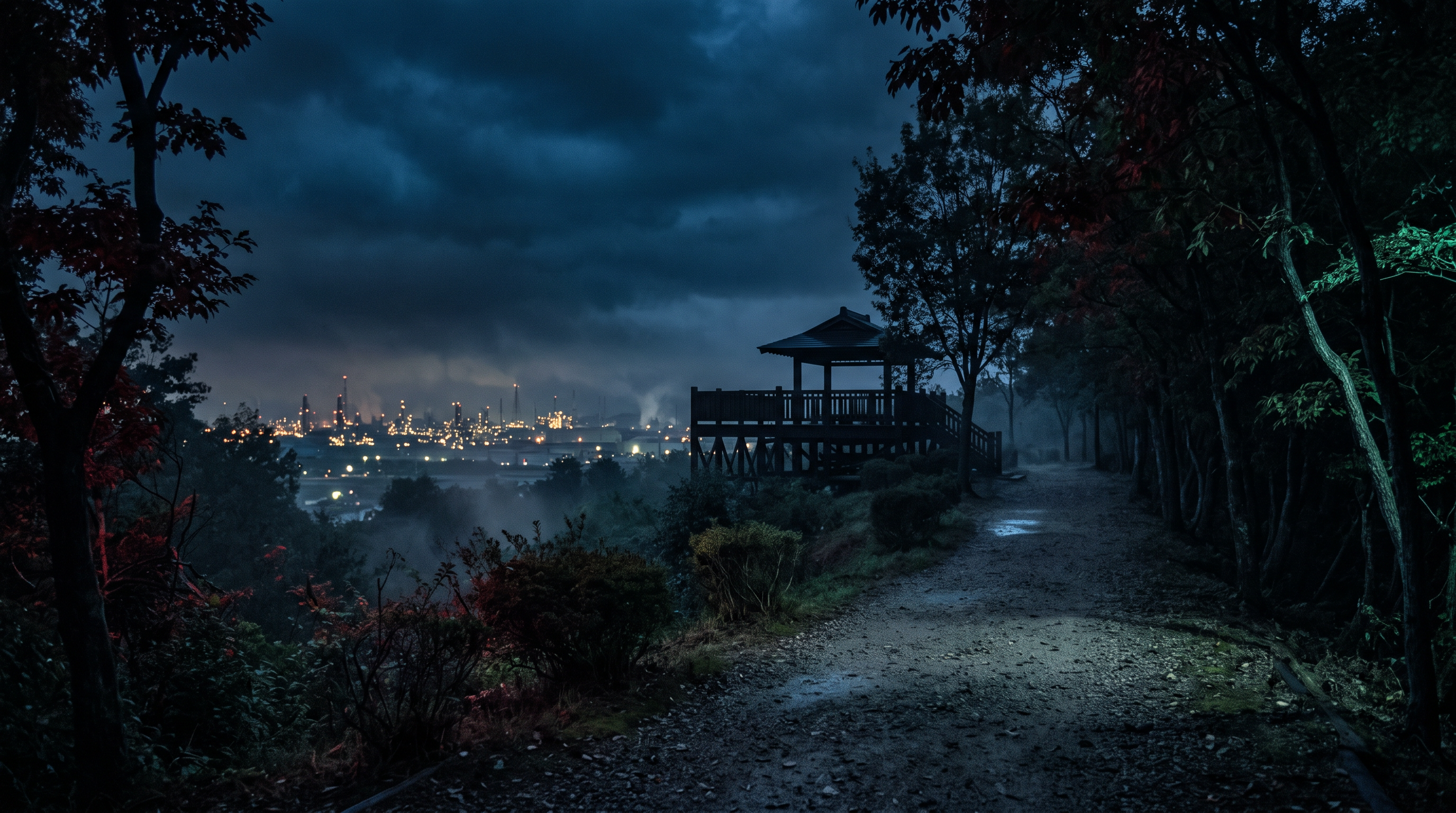
The city's guide to Ryuo-zan Park states that the 136-meter-high mountain has hiking trails, open spaces, and walking paths, and that there is an observation deck at the summit. Night views of the city and industrial area are also featured. There is an auto campsite on the premises, but its opening hours, holidays, and fees are separate from those of the park.
- Sanyo-Onoda City, Ryuo-zan Park(Confirmed on 2026-10-21) — This park allows you to enjoy the 136-meter-high Mt. Ryuo, a landmark of our city.
Hiking trails, open spaces, and walking paths have been developed, and an observation deck has been installed at the summit.
Points of agreement/contradictions
The city's guide indicates that the park consists of an observation deck and walking paths. There are no photographs of the man, nor any documents detailing what happened after he turned around, on the city's website. Therefore, the lack of information in the guide cannot be used to conclude that the rumor is false.
| The rumored atomic claim | Matching results | reason | Corresponding documents |
|---|---|---|---|
| A male ghost appears | Unconfirmed | While there are reports of rumors, no independent eyewitness accounts or images confirming the man's appearance have been obtained. | Nationwide Haunted Map - Ryuo-zan Park |
| You must not look back. | Unconfirmed | Although there is text describing the taboo, there is no documentation to confirm its first appearance or the relationship between the act of reflection and the event. | Nationwide Haunted Map - Ryuo-zan Park |
Alternative interpretation
If we were to examine the image visible above the car, we could compare the reflections on the car body and windows with the surrounding arrangement in the original image. However, since neither the image nor the shooting conditions are available, we cannot definitively conclude that it was a reflection. Regarding the taboo on the return journey, there is still room to investigate when it originated and how it was passed down through generations.
Scope and limitations of the investigation
I compared the saved rumor text with the city's facility guide. The date and time the photos were taken, the original data, and the source of the taboo information are unconfirmed. Because the city's address notation and the street number notation on the map do not match, the named map cannot be used to identify specific shooting locations or return routes.
Verification result: Unmeasurable
We were unable to obtain any records from this facility guide that could be directly compared to the man's appearance and the taboo against looking back. Although we were able to confirm the facilities at the mountaintop and the night view, that alone does not support the photograph or the claim of the taboo. We have not elevated the regular park guide to a new discovery regarding the rumor, and have left it as immeasurable.
Document Quality Score
| Source transparency | 25/30 | While the city's facility information and its source can be traced, the origin of the photograph of the car and the legend remain unknown. |
|---|---|---|
| Historical and spatial context | 20/25 | While the mountain's height and the layout of the observation decks and trails can be confirmed, the circumstances surrounding the establishment of the taboo remain unclear. |
| Safety information | 15/20 | I understand the difference between the usage conditions for campgrounds and parks, but I haven't been able to pinpoint the rumored route home. |
| Newness of information | 12/15 | The document was saved on October 21st, but the city's announcement was updated on December 20th, 2023, and is separate from the current status check. |
| Transparency of the source of rumors | 6/10 | The man's figure and the taboo on the way home can be read in the same text, but the original narrators of each are unknown. |
| total | 78/100 | This is the overall quality of the materials. It does not represent the degree of truthfulness or danger associated with the supernatural phenomena. |
Safety information and maps
Please do not confuse the conditions of the adjacent campsite with the general park information. The introduction of night views does not guarantee nighttime access to all park paths. Please follow any closure signs or traffic restrictions on site and avoid nighttime exploration to verify rumors.
Map Location: This map shows the location of the entire park. It does not confirm the address, entrances, rumored sections, or on-site access permits.
3rd place: Motoyamamisaki Park | Unmeasurable (77 points)
The rumored details
The entry for Motoyama Cape Park on the nationwide paranormal map mentions two rumors: one about a fisherman at night who saw a mysterious luminous object at sea, and another about being spoken to by a male ghost. The light at sea and the male figure are separate observations, but neither has any original record that would allow us to trace the date, time, or location of the sighting.
Source of the rumor and date of verification
I saved and read the Motoyama Cape Park page of the National Haunted Map on October 21, 2026. It contains secondary information about lights and men, and is not a direct record of the eyewitness's own statements. The descriptions of the surrounding history are also not treated as officially corroborated facts.
- National Haunted Map - Motoyama Cape Park(Confirmed on 2026-10-21) — There are rumors of fishermen seeing a mysterious luminous object at sea at night, and of being spoken to by the ghost of a man in dirty clothes.
Things that could be confirmed from official and primary source materials
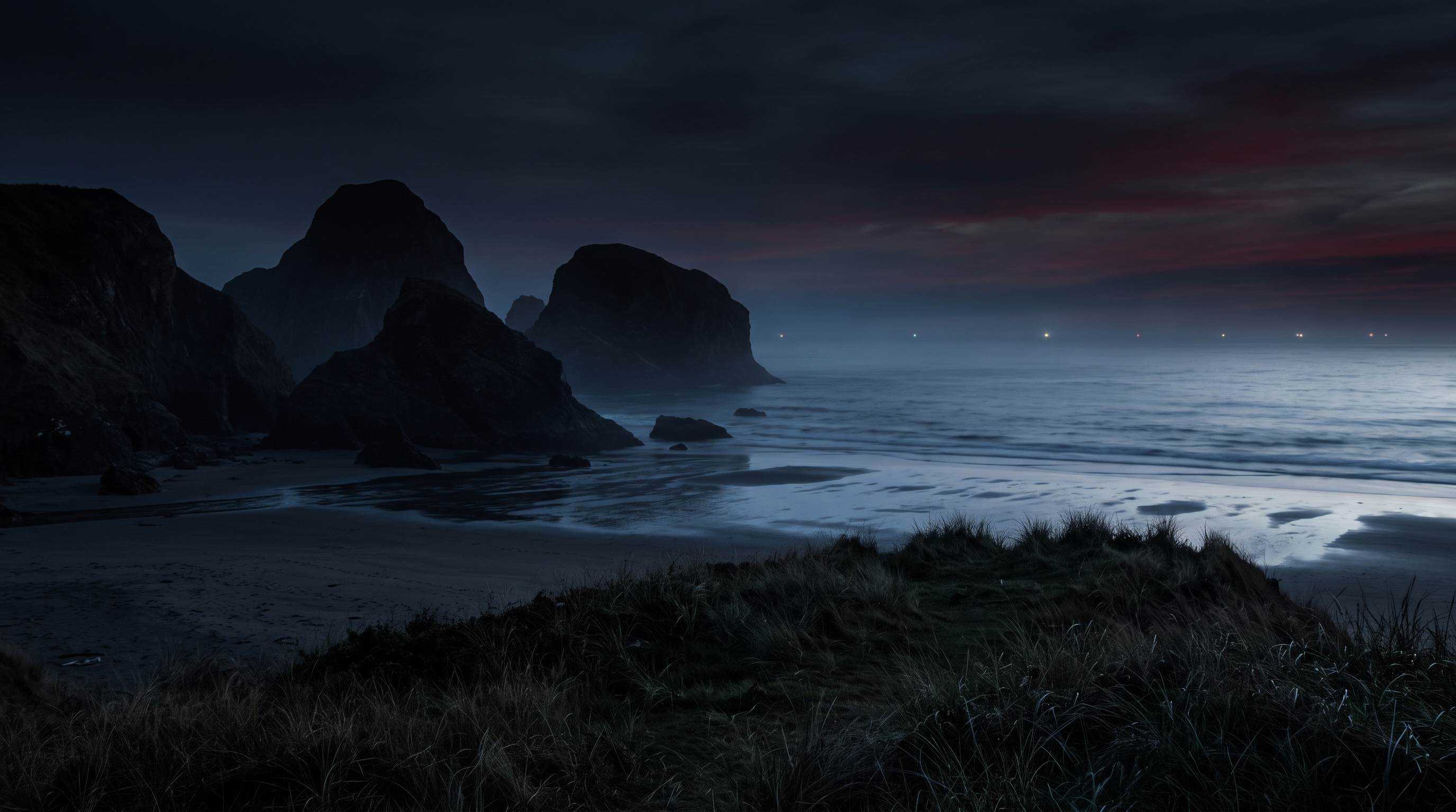
Sanyo-Onoda City describes Motoyama Cape Park as a park located at the southernmost point of the city, facing the Suo Sea. It highlights unique rock formations such as Kuguri-iwa (a rock formation that can be passed through) and a rest area. It clearly states that Kuguri-iwa can only be approached at low tide, and provides a link to Ube's tide table. Knowing the park's location and confirming the time when the rocks can be accessed are two different things.
- Sanyo-Onoda City, Motoyama Cape Park(Confirmed on 2026-10-21) — Located at the southernmost tip of the city, this park faces the sea, jutting out into the Suo Sea. Unusual rock formations such as Kuguri-iwa (a type of rock formation) rise majestically, and the spectacular scenery of nature leaves visitors momentarily in awe.
*Please note that you can only approach Kuguri-iwa at low tide, so please check the tide table.
Points of agreement/contradictions
The city's website provides information on the location of the cape and unusual rock formations, as well as usage guidelines, but it does not record observations of the luminous object at sea or conversations with the man. Even knowing that the location faces the Suo Sea, the direction from which the light was seen and the location of the person are not determined. The geographical background and the two eyewitness accounts must be read separately.
| The rumored atomic claim | Matching results | reason | Corresponding documents |
|---|---|---|---|
| I saw a mysterious luminous object at sea. | Unconfirmed | The published text reports rumors of a light, but there are no records to verify the observation time or direction, so its true nature cannot be determined. | National Haunted Map - Motoyama Cape Park |
| I was spoken to by a male ghost. | Unconfirmed | The account is merely hearsay, stating that someone spoke to them, and no original records confirming the person or the details of the conversation have been obtained. | National Haunted Map - Motoyama Cape Park |
Alternative interpretation
To compare lights on the sea, the time of observation, direction, duration, and photographic data are crucial clues. Since this information is unavailable, even considering surrounding lights or reflections on the water's surface won't allow us to determine the source of the light. We also need the original record of the man's statement, which confirms the content of the conversation and the circumstances.
Scope and limitations of the investigation
The investigation focused on the rumored articles and the city's park guide. Original eyewitness accounts and details of the maritime situation were not obtained. No attempts were made to deduce the identities of individuals or the causes of the strange occurrences from descriptions of the surrounding history. The map shows the location of the entire park and does not verify the routes to the rumored coastal section or rocks.
Verification result: Unmeasurable
We have not obtained any independent observational records regarding the light on the sea and the man speaking. The topography and tidal warnings confirmed from city guides cannot be substituted for evidence supporting these two rumors. Official usage information is not counted as a new discovery, and the claim of sightings is deemed immeasurable.
Document Quality Score
| Source transparency | 24/30 | While the source of the "Light on the Sea" image and the city's park guide can be clearly identified, there is a lack of supporting evidence such as original eyewitness records and surrounding historical context. |
|---|---|---|
| Historical and spatial context | 18/25 | While the context of the cape and unusual rock formations is clear, the causal relationship between the historical background described in the text and the eyewitness account has not been confirmed. |
| Safety information | 18/20 | The city has issued a specific warning stating that it is only possible to approach the rock formation during low tide, which distinguishes this from nighttime exploration. |
| Newness of information | 12/15 | This text was saved on October 21st, and the update date of the city page (June 18, 2024) is not confused with the actual tide level confirmation. |
| Transparency of the source of rumors | 5/10 | The two eyewitness accounts are on the same page, but the original records of the fisherman's and the man's narrators are not provided. |
| total | 77/100 | This is the overall quality of the materials. It does not represent the degree of truthfulness or danger associated with the supernatural phenomena. |
Safety information and maps
The city has announced that the rock formation can only be accessed at low tide. Please check the tide tables, weather, and local traffic restrictions, and avoid going down to the coast at night to test the rumors. The map does not guarantee accessibility or safe routes at low tide.
Map Location: This map shows the location of the entire park. It does not confirm the address, entrances, rumored sections, or on-site access permits.
What I learned by crossing locations
At Wakayama Park, the description of the outdoor stage included in the rumored text was compared with the city's guide. However, the matching of facilities does not support the interpretation of the photograph with the cherry blossoms in the background. At Ryuo Mountain, the photograph of the car and the taboo on the way back, and at Motoyama Cape, the light on the sea and the man's story, each require different records. Even if a map with names of the entire park is obtained, the shooting location, the direction of the sighting, and the divisions within the grounds cannot be determined simultaneously.
summary
The facility description at Wakayama matches the city's guide, but the photograph lacks original images to support its claims. The taboo at Ryuo-zan and the sighting at Motoyama Cape could not be verified solely by the existence of the facility. The next things to investigate are the photograph's history, the first appearance of the legend, and the records of light observations. Before heading to the site, it is important to organize the remaining questions from the available materials and to avoid confusing the usage conditions of the campsite, stage, and coastline.
FAQ
Does "partially matching" mean the paranormal photo is real?
That's incorrect. At Wakayama Park, we were only able to verify the description of the outdoor stage facility. To make a claim based on a photograph, the original image and shooting conditions are necessary, and the existence of the facility alone cannot determine the identity of what is pictured.
Can I get to the rumored location using the map's location?
The map shows the location of the entire park with its name. It does not verify the specific section where the sighting occurred, the filming location, the current entrance, or whether access is permitted. There is also the additional condition of low tide when visiting the rock formation at Motoyama Cape.
Would the rumor be disproven if the city's webpage was outdated?
The truthfulness of a rumor cannot be determined solely by the update date. We need to separate the save date from the page update date to see which claims can be compared using which records. The fact that something is not mentioned in the facility's information does not automatically refute the rumor.
How to read this article and safety precautions
" [2026 Latest] Top 3 Ranking of Ghostly Rumors in Parks in Yamaguchi Prefecture This is an article compiled by the Horror Tales File editorial team as a story, based on publicly available information, rumors circulating in the community, and information submitted by readers. It does not definitively state the authenticity of paranormal phenomena.
- We do not recommend visiting restricted areas, private property, abandoned buildings, or dangerous locations at night.
- If you go to the site, always prioritize compliance with laws and regulations, instructions from facility managers, and consideration for nearby residents.
- You can submit personal experiences, correction requests, and deletion requests through the "Personal Experiences/Information Submission" or "Contact Us" sections.
View editorial policy / Please share your experiences and information here. / inquiry