This study investigates three locations in the Tokai region—the Gengetsu Drive-in, the former Isejin Tunnel, and the former Honzaka Tunnel—based on ghost stories surrounding abandoned buildings and structures. The rumored pages and publicly available documents from local governments and cultural property organizations are separated, and claims are compared not only based on personal experiences but also on details such as vehicle capacity, construction dates, and road descriptions. The ranking is not based on how frightening the locations are, but rather on the quality of the information, allowing readers to trace the evidence. This is not a guide indicating accessibility.
Survey methods and evaluation criteria
Specific claims were extracted from external pages for each location and compared with descriptions in local government and public cultural property documents for the same subject. A match is defined as when all claims are supported by independent sources; a partial match is when support for specific claims and unconfirmed elements coexist; a discrepancy is when there is a direct contradiction; and immeasurable is when there is insufficient comparative data. New facts are used only when direct comparison is not possible and an important discovery not found in the rumors can be demonstrated by independent sources. The 100 points total—30 for source transparency, 25 for history/space, 20 for safety, 15 for novelty, and 10 for rumor source transparency—represent the quality of the materials, not the truthfulness of the supernatural occurrences. Ties are compared in the following order: source transparency, rumor source transparency, novelty, and location name.
| Rank | point | The main points of the rumor | judgement | Document quality |
|---|---|---|---|---|
| 1 | Gengake Drive-in (Atami Highland Ropeway) | The nationwide paranormal map describes the Gengetsu Drive-in (Atami Kogen Ropeway) as the site of a former commercial facility, stating that the ropeway had a capacity of 120 people and opened in 1967. Furthermore, it mentions three... | mismatch | 85/100 |
| 2 | Old Ise Shrine Tunnel | The section on the National Haunted Map for the Old Ise Shrine Tunnel lists rumors of female ghosts appearing and voices being heard. It also includes eyewitness accounts of female and child ghosts, as well as accounts of tunnel construction workers, and mentions Ise Bay… | unmeasurable | 80/100 |
| 3 | Old Honzaka Tunnel | The National Haunted Map lists several rumors about the old Honzaka Tunnel, including "an old woman appears," "a woman holding a baby appears," and "a woman in a kimono appears." It also mentions that in the past, it was a princess town... | unmeasurable | 72/100 |
1st Place: Gengetsu Drive-in (Atami Kogen Ropeway) | Mismatch (85 points)
The rumored details
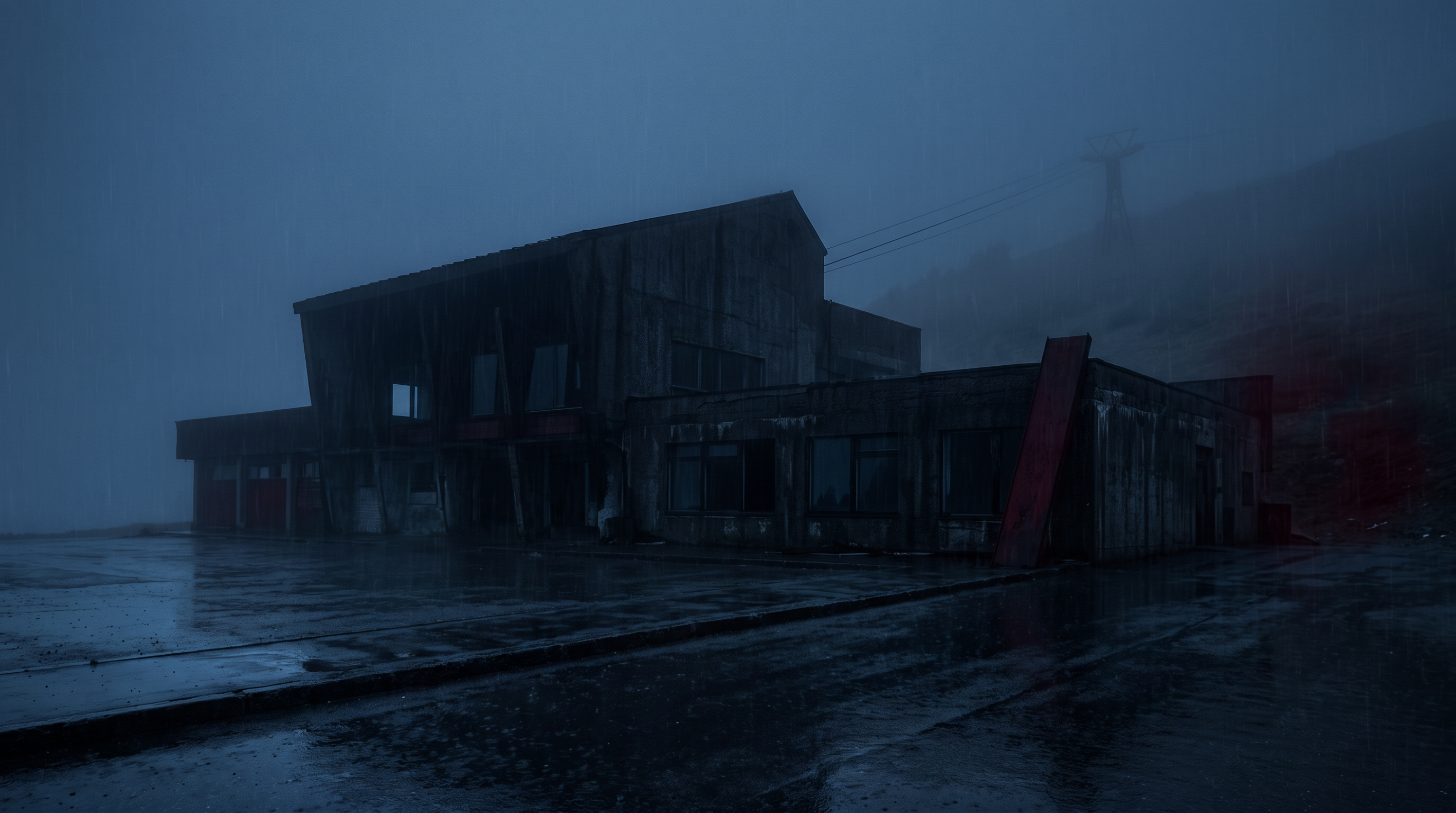
The nationwide paranormal map describes the Gengetsu Drive-in (Atami Kogen Ropeway) as the site of a former commercial facility, stating that the ropeway had a capacity of 120 people and opened in 1967. It further explains that it closed down after about three years and subsequently reopened and closed repeatedly. Regarding paranormal phenomena, it lists rumors of footsteps being heard in the first-floor dining room and a female ghost appearing in the employees' break room. These are claims made by the source of the publication and do not represent the results of on-site verification by this article.
Source of the rumor and date of verification
The source is the page for the location on the external user-submitted website "National Haunted Map," and the designated confirmation date is September 27, 2026. Because the original story, initial publication date, and the person who experienced it cannot be independently identified, it is treated here as a secondary publication with an unknown first appearance. The capacity and business history are also only from the same page and will be cross-referenced separately with Atami City documents.
- National Haunted Map - Gengetsu Drive-in(Confirmed on 2026-09-27) — The ropeway had a capacity of 120 people and could travel 2,678 meters to Atami Cactus Park, making it the largest in the world at the time.
Things that could be confirmed from official and primary source materials
Atami City's "Atami Historical Anecdotes" states that there was a Gengetsu Station of the Atami Kogen Ropeway near the summit of Gengetsu Mountain, but that it is no longer in operation. It also states that the gondola had a capacity of 121 people and that it opened on October 1, 1967. Atami City's records state that the ropeway closed on June 9, 1970, due to the bankruptcy of the operating company, reopened in July, and ceased operations again in December of the same year. These documents deal with the history of the station and the ropeway, but do not mention sounds inside the building or eyewitness accounts.
- Hyogaike Pond and Atami Highland Ropeway(Confirmed on 2026-09-27) — The gondola, which could carry 121 people, was said to be the largest in the world at the time and opened on October 1, 1967. However, due to the bankruptcy of Atami Kogen Kanko Co., Ltd., it closed on June 9, 1970. It resumed operations in July but ceased operations again in December.
Points of agreement/contradictions
The stated capacity of the same ropeway, "120 people," in the source and "121 people" in Atami City, directly contradict each other. The opening date of 1967 matches the official record of October 1st of that year. On the other hand, the source's mention of "closure" or change of management may not be synonymous with the suspension and reopening of the ropeway as recorded by Atami City, and that part remains unconfirmed. The footsteps and the female ghost cannot be determined from the official records either.
| The rumored atomic claim | Matching results | reason | Corresponding documents |
|---|---|---|---|
| 120-seater | contradiction | Historical documents from Atami City clearly state that the same ropeway gondola had a capacity of 121 people, so the number of passengers directly contradicts the other documents. | Hyogaike Pond and Atami Highland Ropeway |
| Opened in 1967 | support | Atami City states that it opened on October 1, 1967, which matches the year 1967. | Hyogaike Pond and Atami Highland Ropeway |
| Closed down after about three years | Unconfirmed | The city of Atami records the suspension and reopening of the cable car in 1970, but this cannot be considered the same as the complete closure of the drive-in. | No official data available for direct comparison. |
| Footsteps can be heard in the dining room on the first floor. | Unconfirmed | The date and time of the experience described, as well as any recordings, could not be verified, and Atami City's historical documents also do not mention any sounds. | No official data available for direct comparison. |
Alternative interpretation
The one-person difference in capacity is not due to a mix-up of facility names, but rather a possibility that the numbers were rounded or transcribed incorrectly for the same cable car, although the circumstances of the error are unknown. Equating the suspension of service with the closure of the entire building oversimplifies the facility's operating history. While there are several possible explanations for the noise, such as equipment issues or wind, the cause cannot be determined based solely on the available documents.
Scope and limitations of the investigation
The Atami City documents describe the history of the ropeway, but they do not record the current status of each floor of the drive-in, the scope of site management, or the date the submitted experience occurred. The original story and primary record could not be identified. The map coordinates are approximate points matched with the vicinity of the building and service area on publicly available maps, and do not guarantee the facility boundaries.
Verification result: Mismatch
The discrepancy lies in the verifiable passenger capacity of "120 people," while Atami City clearly records it as 121 people. While the 1967 opening date is supported, the overall classification prioritizes the discrepancy due to the direct numerical contradiction. Changes in operating entities, footsteps in the dining area, and the ghost of a woman in the break room are not included in this assessment and remain unconfirmed.
Document Quality Score
| Source transparency | 26/30 | By separately obtaining information from the rumor page and historical documents from Atami City, we were able to compare the capacity figures, limiting the comparison to the same ropeway. |
|---|---|---|
| Historical and spatial context | 21/25 | Because the city's records allow us to trace everything from the opening date and reasons for closure to the order of reopening and suspension of operations, the historical context of the facility is relatively rich. |
| Safety information | 17/20 | While the source clearly warns against unauthorized entry, it does not receive a perfect score because the current restricted area cannot be identified from primary sources. |
| Newness of information | 13/15 | The Atami City page shows an update date of 2025, and the rumor page also shows an update date, but it is not a current building condition survey. |
| Transparency of the source of rumors | 8/10 | While externally posted content can be read directly, it's a user-submitted format, making it difficult to trace the original story and first appearance, thus limiting the transparency of the source of the rumors. |
| total | 85/100 | This is the overall quality of the materials. It does not represent the degree of truthfulness or danger associated with the supernatural phenomena. |
Safety information and maps
The remains of facilities around Mount Gengake will not be treated as tourist facilities requiring entry permits. The publicly available maps are for understanding the general location only; do not enter private property or closed areas. Prioritize checking road access and walking restrictions, and obtaining the latest information from the administrators on-site. Nighttime exploration is not recommended.
Map location: Approximate point indicating the vicinity of the former facility along the Izu Skyline. Site boundaries and entrances are not shown.
Check the area around Gengetsu Drive-in (Atami Kogen Ropeway) on Google Maps.
2nd Place: Old Isejin Tunnel | Measurement Undetermined (80 points)
The rumored details
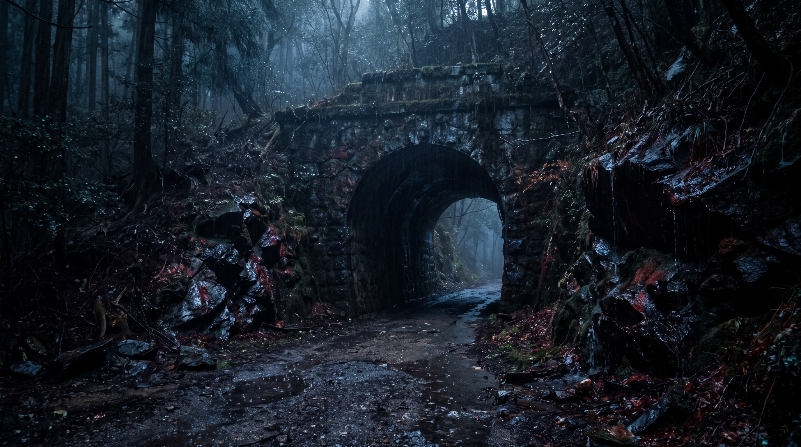
The section on the Old Ise Shrine Tunnel in the National Haunted Map lists rumors of a female ghost appearing and voices being heard. It also includes eyewitness accounts of the ghosts of women, children, and tunnel construction workers, and mentions a story that it might be a woman who lost her life in Typhoon Isewan. The old and new tunnels are discussed side by side, but the time of the sightings and the source of the records cannot be confirmed from the same page. Deaths and paranormal occurrences should not be taken as fact.
Source of the rumor and date of verification
I directly checked the individual page for the Old Isejin Tunnel on the external user-submitted website "National Haunted Map." The specified verification date was September 27, 2026, and this page is a secondary publication that aggregates various eyewitness accounts. The original publication date, the person who experienced it, and the primary source showing the causal relationship with the typhoon cannot be identified from the posted text alone.
- Nationwide Haunted Map - Old Ise Shrine Tunnel(Confirmed on 2026-09-27) — There have been sightings of female ghosts, child ghosts, and ghosts of tunnel construction workers.
Things that could be confirmed from official and primary source materials
The Agency for Cultural Affairs' Cultural Heritage Online lists the former Isejin Tunnel's official registered name as "Isegami Tunnel," and records it as a stone tunnel built in 1897 with a length of 308 meters, located in Iwadate, Myokawa-cho, Toyota City, Aichi Prefecture. It was registered as a National Registered Tangible Cultural Property on September 26, 2000, and is described as a road tunnel with a horseshoe-shaped portal made entirely of granite. This supports the history and structure of the building, but it does not acknowledge any casualties or eyewitness accounts from the typhoon.
- Agency for Cultural Affairs, Cultural Heritage Online: "Isegami Tunnel"(Confirmed on 2026-09-27) — A tunnel made entirely of granite, 308m long and approximately 3m wide. The portal is formed by a horseshoe-shaped entrance consisting of pilasters made of Rustika masonry and double voussoirs with different finishes.
Points of agreement/contradictions
Official documents can specifically confirm the construction year, structure, and registration of the Isegami Tunnel. However, they do not provide any records that directly compare the rumored female ghost, worker spirits, heard voices, or their connection to Typhoon Isewan. Even if the correspondence between the registered name and the common name is known, the mere matching of names does not support a causal relationship between the strange occurrences or deaths.
| The rumored atomic claim | Matching results | reason | Corresponding documents |
|---|---|---|---|
| A female ghost appears | Unconfirmed | The source publishes eyewitness accounts, but does not indicate the time of the incident or any independently verifiable observational records. | No official data available for direct comparison. |
| I can hear a voice | Unconfirmed | Cultural heritage documents only describe the structure; they are not documents that verify the origin or cause of the rumored sounds. | No official data available for direct comparison. |
| Could she be the woman who lost her life in Typhoon Ise Bay? | Unconfirmed | We were unable to find any primary sources linking the typhoon to specific individuals or locations, and the mere absence of information in the registration records does not necessarily mean it can be ruled out. | No official data available for direct comparison. |
Alternative interpretation
While the long stone passageway and surrounding environment may alter the impression of the sound, this document does not record the specific circumstances under which the sound originated. It is possible that the narrative linked the widespread disaster of the typhoon with events specific to the tunnel, but the propagation path could not be confirmed, and therefore this cannot be definitively determined as the cause.
Scope and limitations of the investigation
The Agency for Cultural Affairs' registration information focuses on the designation and structure of buildings, and does not include accident logs or the first appearance of ghost stories. Since the rumor page also lacks verifiable dates of occurrence and independent testimonial materials, the absence of records should not be interpreted as the non-existence of accidents or experiences. Coordinates were cross-referenced with official locations and tunnel features on publicly available maps.
Verification result: Unmeasurable
The claims made by the female and construction workers—their eyewitness accounts, voices, and the typhoon origin—are all lacking direct support from independent sources or clear counter-evidence. Cultural property registration merely indicates the existence and structure of the object, and does not prove the existence of the strange occurrences described by the sources. Therefore, while introducing the history of the facility, the judgment of the rumors themselves remains immeasurable.
Document Quality Score
| Source transparency | 24/30 | While it's possible to distinguish between items registered with the Agency for Cultural Affairs and rumors posted externally, there are no primary records directly related to supernatural phenomena or typhoon legends. |
|---|---|---|
| Historical and spatial context | 20/25 | The construction year (1897), stone construction method, and registration date are all available in the official database, which is helpful for identifying the object. |
| Safety information | 16/20 | While the map shows the pathways to cultural properties, it does not allow for checking current traffic restrictions or road conditions through administrator information. |
| Newness of information | 13/15 | While it's possible to access the registration information directly from the Agency for Cultural Affairs website, the update date regarding the current usage status is not clearly stated. |
| Transparency of the source of rumors | 7/10 | While you can read individual pages about rumors, you can't trace the source and original publication of each of the multiple personal accounts. |
| total | 80/100 | This is the overall quality of the materials. It does not represent the degree of truthfulness or danger associated with the supernatural phenomena. |
Safety information and maps
Do not confuse the fact that the Old Isejin Tunnel is a registered cultural property with the fact that it is freely accessible and can be photographed. Prioritize local road regulations and guidance from the administrators, and do not obstruct passing vehicles or conduct reckless exploration at night. The map shows the approximate location of the tunnel.
Map location: A representative point of the linear feature shown on public maps as the Isegami Tunnel. The tunnel entrance and parking area are not indicated.
3rd Place: Old Honzaka Tunnel | Measurement Undetermined (72 points)
The rumored details
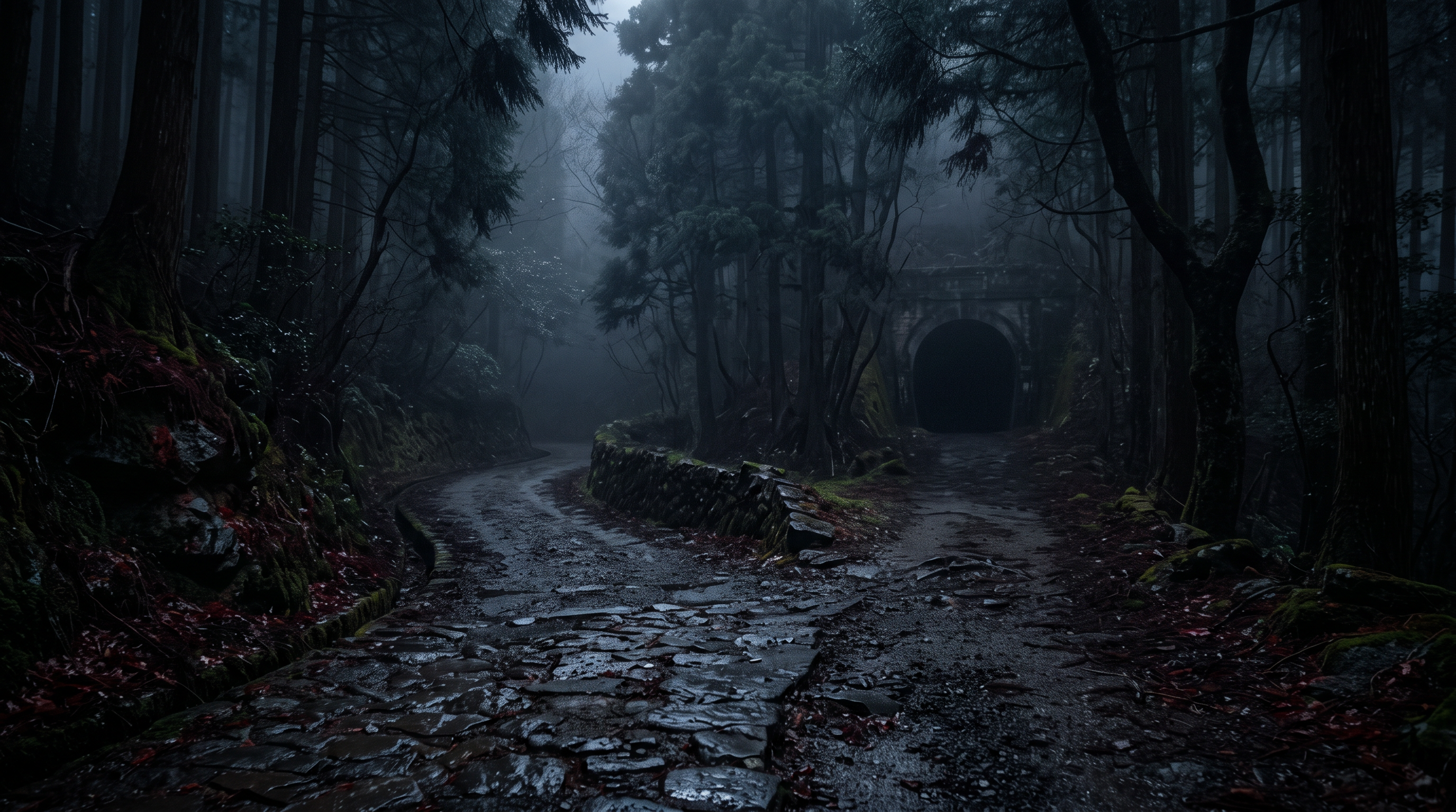
The nationwide paranormal map lists several rumors about the old Honzaka Tunnel, including "an old woman appears," "a woman holding a baby appears," and "a woman in a kimono appears." It also explains that in the past, the road was so popular with female travelers that it was called the "Princess Road," linking the arduous mountain pass crossing to the sightings. The text does not provide sources for the number of travelers or records of deaths, so the listed appearances cannot be treated as confirmed facts.
Source of the rumor and date of verification
The information was referenced from the individual page for the Old Honzaka Tunnel on the "National Haunted Map," with the designation confirmed on September 27, 2026. These are examples of user-submitted external postings, and the original stories and first appearances of the three eyewitness accounts cannot be identified. For the historical explanation, the scope was confirmed by separately obtaining the Shizuoka Prefecture Road Heritage List and the Hamamatsu City Himekaido Guide.
- Nationwide Haunted Map - Old Honzaka Tunnel(Confirmed on 2026-09-27) — - An old woman's ghost appears - A woman's ghost holding a baby appears - A woman's ghost in a kimono appears
Things that could be confirmed from official and primary source materials
The Shizuoka Prefecture Civil Engineering Heritage List includes the Honzaka Tunnel as a road tunnel on the former National Route 362, stating its location as Kita Ward, Hamamatsu City at the time, and its completion date as 1915. Hamamatsu City describes the Himekaido as a side route of the Tokaido and provides a walking map from Honzaka Pass to Inasa Pass. While it is clear that there are different time layers—a historical highway and a modern road tunnel—near the former Honzaka Tunnel, there is no evidence to prove the presence of a woman or the death of a traveler.
- Shizuoka Prefecture - Civil Engineering Heritage (Road Tunnels, etc.)(Confirmation date 2026-09-27) — 4 Honsaka Tunnel Honsaka Tunnel (PDF 368.8KB) Route/river name: Old National Route 362 Location: Kita-ku, Hamamatsu City Construction year (completed): 1915 (Taisho 4)
- Hamamatsu City/Himekaido Map(Confirmed on 2026-09-27) — The Himekaido is a side route of the Tokaido that bypasses the northern shore of Lake Hamana from Mitsuke-juku on the Tokaido and leads to Goyu-juku.
Points of agreement/contradictions
The prefectural documents confirm the age of the Honzaka Tunnel and the location of the road, while the city's guide confirms the route of the Himekaido. The large number of female travelers mentioned on the rumor page is not specified in terms of number or duration, and cannot be estimated from the name of the road. Neither document contains observational records of sightings of elderly women or women holding babies, making a direct comparison of supporting or counter-evidence impossible.
| The rumored atomic claim | Matching results | reason | Corresponding documents |
|---|---|---|---|
| An old woman appears. | Unconfirmed | The source of the story lacks the date and independent evidence of the original account, and the prefecture's list of road heritage sites does not include eyewitness accounts. | No official data available for direct comparison. |
| A woman appears, holding a baby. | Unconfirmed | The only descriptions available are in user-submitted rumors, and the phenomenon cannot be determined from historical records of Hamamatsu City's road network. | No official data available for direct comparison. |
| There were many female travelers. | Unconfirmed | Hamamatsu City provides a description of the Himekaido route, but does not indicate the number or percentage of female travelers. | No official data available for direct comparison. |
Alternative interpretation
If we estimate the number of female travelers and fatalities based solely on the name "Hime Kaido" (Princess Road), the historical explanation of the road and the later ghost stories become mixed up. It is possible that the tunnel completed in 1915 and the events on the older mountain pass were passed down as happening at the same location, but since the time when the legend was established cannot be confirmed, we cannot definitively conclude that it is a misidentification.
Scope and limitations of the investigation
The list for Shizuoka Prefecture contains engineering and completion information for tunnels, and the guide for Hamamatsu City contains road route information; it does not include the dates of eyewitness accounts or traveler statistics. Since the original story is not available on the rumor page, it is impossible to track when the description of the female ghost was added. The map is a rough representation of the linear features of old roads with tunnel attributes, based on publicly available maps.
Verification result: Unmeasurable
Even if we confirm the completion year of the Honzaka Tunnel and the existence of the Himekaido Road, this does not independently support the number of female travelers or eyewitness accounts mentioned in the rumors. The fact that official documents do not mention the strange occurrences is not direct counter-evidence. Because we were unable to obtain specific observation dates, original stories, and traveler statistics, the classification of this location was deemed unmeasurable.
Document Quality Score
| Source transparency | 21/30 | In addition to external rumor pages, you can read the prefecture's tunnel list and the city's road guide, but you cannot trace the original story of the sighting. |
|---|---|---|
| Historical and spatial context | 17/25 | The 1915 road tunnel and the old side road can be explained separately, although there are no statistics on travelers. |
| Safety information | 16/20 | While the general outline of the old road and mountain pass can be shown, details regarding its passability and current maintenance are not available in the document. |
| Newness of information | 11/15 | Although I was able to obtain a list of prefectures and city information, I could not find the latest inspection and regulation information for individual tunnels. |
| Transparency of the source of rumors | 7/10 | While there are pages describing the three different appearances, it's impossible to individually verify who said what and when. |
| total | 72/100 | This is the overall quality of the materials. It does not represent the degree of truthfulness or danger associated with the supernatural phenomena. |
Safety information and maps
Around the former Honzaka Tunnel, the old road, the current road, and the historical walking path are not considered the same route. Prioritize regulations, road conditions, weather, and vehicle conditions, and do not enter closed areas or private property. The dots on the map do not indicate routes or permits.
Map Location: Representative point of the old road with tunnel attribute on the public map. Does not show passable entrances or parking locations.
Check the area around the old Honzaka Tunnel on Google Maps.
What I learned by crossing locations
While all three locations report supernatural occurrences, the official documents deal with the history of the facilities and roads, not the recognition of the phenomena themselves. At Gen-dake, the "120-passenger" gondola and the "121-passenger" gondola in Atami City directly contradict each other, and the reasons and sequence of the suspension of operations can be read in more detail. On the other hand, the cultural property registration of the Isegami Tunnel does not verify the explanations of spirits related to typhoons and construction, and the completion record of the Honzaka Tunnel does not acknowledge the woman's eyewitness account. The key point across all three cases is that merely matching names and locations is not elevated to matching paranormal stories.
summary
The clearest match was the number of people who could go to Gengetsu, but the rumored 120 and Atami City's 121 did not match. The city also recorded the years the temple was closed and the bankruptcy of the operating company, but this neither confirmed nor denied the presence of footsteps or spirits. While official records of buildings and roads could be found for the former Ise Shrine and former Honzaka, no materials were found that could be directly compared with the eyewitness accounts and legends mentioned, so it was deemed impossible to determine. If more sources are cited in the future, the judgment will be reviewed for each specific claim.
FAQ
If there's a discrepancy, does that mean all the ghost stories about that facility are false?
No. The discrepancy regarding Gengake is limited to the claim about the gondola's capacity. The same source did not verify the sounds and ghost stories within the facility, and they are being separated without confirmation.
If I look at a map of the old tunnel, will I be able to find my way there?
Maps are general point-of-view maps for understanding the subject matter and do not indicate rights of passage or entry permits. Prioritize traffic regulations, administrator guidance, and on-site signage, and do not enter closed areas or private property.
How did you differentiate between using rumors and official documents?
The source of publication was used as evidence of what was being said, while local government and cultural property documents were used as independent records to verify the year and structure of facilities. The number of publications or ratings were not used to support the phenomenon.
How to read this article and safety precautions
" [2026 Latest] Top 3 Ranking of Paranormal Rumors Related to Abandoned Buildings in the Tokai Region This is an article compiled by the Horror Tales File editorial team as a story, based on publicly available information, rumors circulating in the community, and information submitted by readers. It does not definitively state the authenticity of paranormal phenomena.
- We do not recommend visiting restricted areas, private property, abandoned buildings, or dangerous locations at night.
- If you go to the site, always prioritize compliance with laws and regulations, instructions from facility managers, and consideration for nearby residents.
- You can submit personal experiences, correction requests, and deletion requests through the "Personal Experiences/Information Submission" or "Contact Us" sections.
View editorial policy / Please share your experiences and information here. / inquiry