The image of a parking lot, the presence of a restroom, the woman on the red bridge—the rumors surrounding Kamakita Lake, Urayama Dam, and Gōkaku Dam are set in different locations along the water's edge. Official documents list the agricultural lake, the specifications of the dam itself, and the name of the reservoir. By examining which parts of the rumors can be compared, we can see the difference between matching facility names and events being corroborated.
Survey methods and evaluation criteria
This article compares the introductory text of the National Haunted Map with archived materials from Moroyama Town, the Japan Water Agency, and Saitama Prefecture on November 10, 2026. It is not a report of on-site investigations or personal experiences. Matching, partially matching, or discrepancies indicate correspondence between specific claims and the materials; "unmeasurable" indicates a lack of comparable records. Any significant new evidence not found in rumors will be considered new fact. The rankings and scores based on the five axes of material quality are editorial evaluations and do not reflect a ranking of frightening locations or the perceived danger of visiting them.
| Rank | point | The main points of the rumor | judgement | Document quality |
|---|---|---|---|---|
| 1 | Lake Kamahoku | The entry for Kamakita Lake on the nationwide paranormal map explains that it was "originally an agricultural reservoir," and then mentions a rumor that "a male ghost appears in the parking lot at night." It then goes on to discuss the lake's formation and... | Partial match | 84/100 |
| 2 | Gōkaku Dam | The description of the Gōkaku Dam in the National Haunted Map specifically names the red bridge as "Kurao Bridge" and notes that "a female ghost appears there." The same text also mentions the discovery of a body and the story of the woman, stating "201... | unmeasurable | 77/100 |
| 3 | Urayama Dam | The entry for Urayama Dam on the nationwide paranormal map includes a story about someone feeling "like they are being watched" near the public restrooms. Furthermore, it mentions a car heading there being involved in an "unexplained accident..." | unmeasurable | 74/100 |
1st place: Lake Kamahoku | Partial match (84 points)
The rumored details
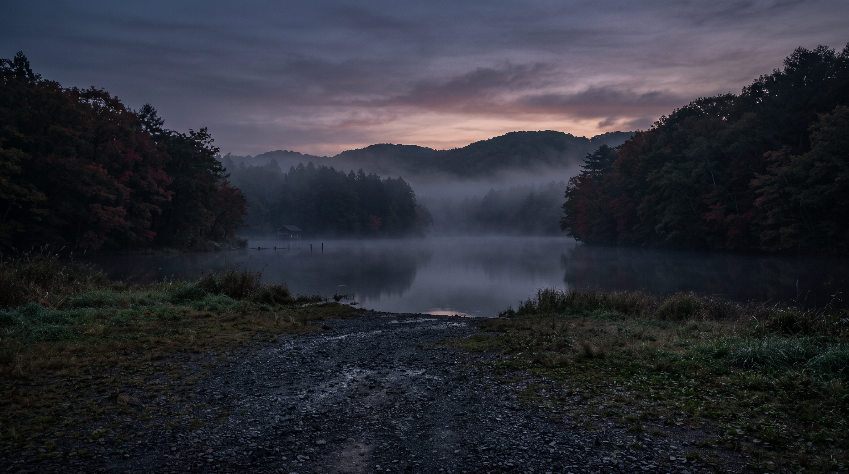
The description of Kamakita Lake in the National Haunted Map explains that it was "originally an agricultural reservoir," and then mentions a rumor that "a male ghost appears in the parking lot at night." The lake's formation and the parking lot sighting, although in the same text, are separate claims. The alternative names mentioned in the text also need to be compared one by one with the names used by the town.
Source of the rumor and date of verification
We used the description of Lake Kamakita from the National Haunted Map as an example of a rumored location. While a parking lot is mentioned, the text does not specify which parking lot, when, or who saw it. The explanation of the lake's origin is also distinguished from the eyewitness testimony itself.
- National Haunted Map: Kamakita Lake(Confirmed on 2026-11-10) — Paranormal phenomena rumored to be occurring at Kamakita Lake
A male ghost appears
Locals call it "Kamakita Lake," but its official name is "Yamane Reservoir." It's also known as "Otome Lake."
Originally a reservoir for agricultural use, this lake has now become a relaxing fishing spot where you can enjoy the beauty of nature throughout the seasons.
There are rumors that a male ghost appears in the parking lot at night.
Check if there are ghosts nearby
Things that could be confirmed from official and primary source materials
Moroyama Town explains that Kamakita Lake is an artificial lake completed in 1935 as an agricultural reservoir. It is also referred to as "Maiden's Lake," and information is provided about cherry blossoms, autumn leaves, and crucian carp fishing. The address listed is for the Kamakita Lake First Parking Lot. The explanation of the lake's formation corresponds to the rumored explanation, but this does not definitively confirm that this address is the same as the rumored parking lot.
- Moroyama Town Industrial Promotion Division Tourism and Local Products(Confirmed on 2026-11-10) — Kamakita Lake / Moroyama Town Show Smartphone Version Current Location General Site Search by Organization Industrial Promotion Division Tourism and Local Products Tourism Tourist Spots Kamakita Lake Kamakita Lake Tweet Updated: March 17, 2026 Information from Kamakita Lake Click here for details! About Kamakita Lake Kamakita Lake is an artificial lake completed in 1935 as an agricultural reservoir. The lake is approximately 2 kilometers in circumference, 20 meters deep, and has a water storage capacity of 300,000 cubic meters. Also known as "Maiden's Lake," it is a beautiful lake with cherry blossoms in spring and autumn leaves in fall, and is also the entrance to the Okumusashi Nature Trail, so many hikers visit. You can also enjoy crucian carp fishing. Address: 356-7 Shukutani, Moroyama-machi, Iruma-gun, Saitama Prefecture (Kamakita Lake First Parking Lot) View larger map (Go to Google Maps page) Boat and Fishing Information For information on boats and crucian carp fishing, please check this website: Moroyama Town Tourism Association https://moroyama-kanko.jp/?p=we-page-entry&spot=355887&cat=23536&pageno=3&type=list Parking: Available (Free) Toilets: Available Nearby Spots: Shikisai-no-Oka Park, Okumusashi Nature Trail, Shukutani Falls, Restaurant "Setsugetsuka" Address: 356-5 Shukutani, Moroyama-machi, Iruma-gun, Saitama Prefecture Phone number: 049-295-2115 Please let us know your opinion Was the content of this page easy to understand? Easy to understand Average Difficult to understand Was this page easy to find? Easy to find Average Difficult to find
Points of agreement/contradictions
The town has an explicit explanation for the claim that it was an agricultural reservoir. On the other hand, there are no observation records of a man in the adopted materials. We distinguished between the matching use of the lake and the supporting eyewitness account of the parking lot, and limited the scope of the partial agreement to the explanation of its formation.
| The rumored atomic claim | Matching results | reason | Corresponding documents |
|---|---|---|---|
| The lake was originally a reservoir for agricultural use. | support | The town of Moroyama has clearly stated that it is an artificial lake completed as an agricultural reservoir, and the explanation of its origins corresponds to this. | Moroyama Town Industrial Promotion Division Tourism and Local Products |
| A male ghost appears in the parking lot. | Unconfirmed | The town's facility guide does not include any records of sightings in the parking lot, making it impossible to independently compare the observation location and date. | No official data available for direct comparison. |
Alternative interpretation
To compare objects seen in the parking lot, we need to consider factors such as brightness, viewing direction, distance, and usage conditions at the same time. The lake's origin or alternative name does not determine the identity of the object. In this case, there are no images or records of observation conditions, so we cannot definitively say that we saw a shadow or another user.
Scope and limitations of the investigation
We are comparing the town's tourist information with the text of the rumors. There are no independent records of the first parking lot being the sighting location, nor are there any nighttime observations at the site. We have not confirmed that "Maiden's Lake," which appears in the town's information, and all the other names in the text of the rumors are the same official name.
Verification results: Partial match
While town records support the fact that it was originally an agricultural reservoir, the man in the parking lot remains unconfirmed. This is a partial match, citing both the specific use of the reservoir and the lack of eyewitness accounts, and does not mean that a part of the supernatural phenomenon has been confirmed. Nor is the judgment based solely on the matching address.
Document Quality Score
| Source transparency | 30/30 | You can find information about the lake and the parking lot address in the town's individual tourist guide. |
|---|---|---|
| Historical and spatial context | 24/25 | The purpose and completion date of the artificial lake will be clearly stated, but the origin of the nighttime sightings remains unconfirmed. |
| Safety information | 14/20 | While there are separate listings for fishing and boating, all conditions for nighttime use have not yet been finalized. |
| Newness of information | 13/15 | The town guide has an update date of 2026, allowing you to track the content as it was at the time of saving. |
| Transparency of the source of rumors | 3/10 | We know the type of location rumored to be involved, but we lack specific information about the parking lot and original eyewitness accounts. |
| total | 84/100 | This is the overall quality of the materials. It does not represent the degree of truthfulness or danger associated with the supernatural phenomena. |
Safety information and maps
The town address is for directions to the first parking lot and does not grant permission for nighttime use. For fishing and boating, please check the respective usage guidelines and prioritize the notices posted on site. It does not indicate that you can freely descend from the parking lot to the lakeshore.
Map location: This is a representative location of facilities and terrain. It does not indicate sighting locations, land divisions, entrances, or accessible areas.
2nd Place: Gōkaku Dam | Measurement Undetermined (77 points)
The rumored details
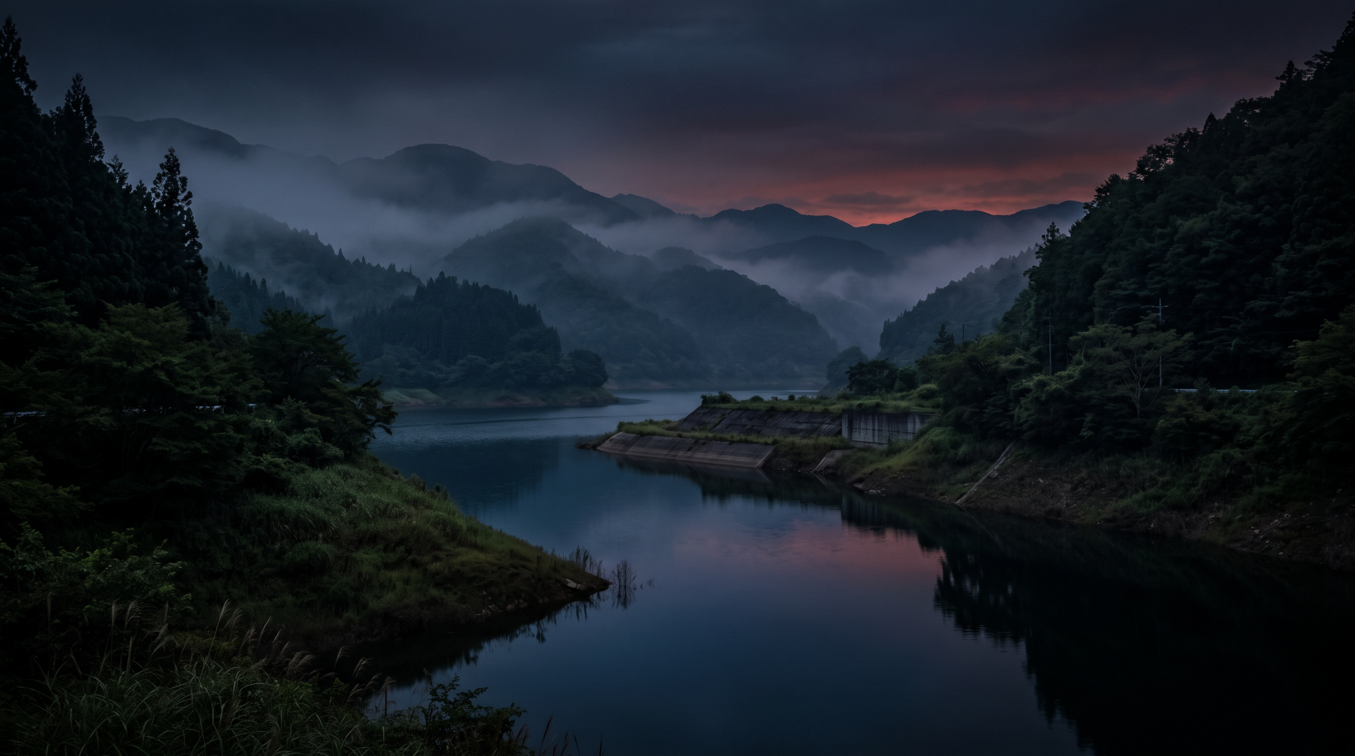
The description of the Gōkaku Dam in the National Haunted Map specifically names the red bridge as "Kurao Bridge" and states that "a female ghost appears there." In the same text, it distinguishes between the story of the body discovery and the explanation that the woman's story is "a rumor that has been around for much longer than 2013." The text itself does not directly link the two, and it is not possible to connect the description of the incident with eyewitness accounts as evidence.
Source of the rumor and date of verification
I referred to the introductory text of a nationwide paranormal map that lists both Gōkaku Dam and Nishichichibu Momoko. The text includes the bridge name and the date of the incident, but I have not independently verified the eyewitness accounts, the time when the rumors began, or the original source of the accident report from this text.
- National Haunted Map: Gōkaku Dam(Confirmed on 2026-11-10) — Paranormal phenomena rumored to occur at Gōkaku Dam (Nishi-Chichibu Momoko)
A female ghost appears
There are rumors of a female ghost appearing on the red bridge (Kurao Bridge on Prefectural Road 282) that spans the Gōkaku Dam. Many suicides and drowned bodies have also been discovered there. On February 11, 2013, the body of a woman wearing a blouse, navy blue shorts, and boots was found.
This woman may not be directly related to the ghost that appears on the bridge, because the story of the female ghost has been around since long before 2013.
Check if there are ghosts nearby
Things that could be confirmed from official and primary source materials
The specifications table for the Gōkaku Dam in Saitama Prefecture lists its location as Kamiyoshida, Chichibu City and Ogano Town, and the name of the dam lake as Nishichichibu Momoko. The river name is the Yoshida River, a tributary of the Akahira River in the Arakawa River system, and the type is a gravity-type concrete dam. The correspondence between the facility and the reservoir is clear, but this table is not a document that explains the sighting of the bridge or the discovery of the body. It is also important to note that the location spans two municipalities.
- Saitama Prefecture, Chichibu Prefectural Land Development Office, Gōkaku Dam Management Office(Confirmed on 2026-11-10) — Dam Specifications – Saitama Prefecture This site provides content and functions using JavaScript. Please enable JavaScript to use them. Skip to main content. Saitama Prefecture Foreign Language Change font size and color Text-to-speech Turn on furigana Search by organization Search for information Search by keyword Featured keywords Close Menu Close Top page Life & Environment Health & Welfare Work & Industry Culture & Education Prefectural Government Information & Statistics Emergency & Disaster Prevention Open Emergency Information Emergency Information Close There is currently no emergency information. Homepage > Prefectural Government Information and Statistics > Prefectural Overview > Organization Guide > Prefectural Land Development Department > Regional Organizations of the Prefectural Land Development Department > Chichibu Prefectural Land Development Office > Dam Specifications Page Number: 3907 Publication Date: October 29, 2026 Chichibu Prefectural Land Development Office List of Guidelines under the Jurisdiction of the Chichibu Prefectural Land Development Office Ashigakubo Roadside Station About the "Chichibu Park Bridge Light-up" Overview We held the Saitama Erosion Control 100th Anniversary Symposium. List of Road Traffic Regulation Information (Chichibu Prefectural Land Development Office) About Roads Application for Approval of Road Construction Work List of Designated Sediment Disaster Prevention Areas in the Jurisdiction Sediment Disaster Prevention Law We will entrust weed cutting work on rivers etc. to local community associations, etc. Information on restricted areas due to the collapse of the cliff on the right bank of the Yokose River (Yokose area, Yokose town, Water Park Shirayama) Notice from the Gōkaku Dam Management Office Information on the distribution of dam cards Real-time dam information Access to the dam Guide to sightseeing around the dam Information on applying for a dam tour History of dam construction Purpose of the dam Gōkaku Dam pamphlet Specifications of the dam Gōkaku Dam exhibition room Please be careful of water accidents Information on the water storage status of Gōkaku Dam Information on holding the "Gōkaku Dam Tour" on Saitama Citizens' Day List of rivers under the jurisdiction Chichibu Prefectural Land Development Office Recruitment of fixed-term employees Results of the public offering for vending machine operators for beverages etc. in FY2025 Gurutto Saitama Cycle Network concept About the Chichibu overpass leveling project Chichibu Prefectural Land Development Office Recruitment of fixed-term employees The Chichibu Prefectural Land Development Office has launched its official Instagram account! (Main text follows.) Dam Specifications Gōkaku Dam Specifications Table River Name Arakawa River System Akahira River Tributary Yoshida River Location Kamiyoshida, Chichibu City, Saitama Prefecture / Ogano Town Dam Lake Name Nishichichibu Momoko Type Gravity Concrete Dam Dam Overview Diagram (JPG: 214KB) Catchment Area 32.1 sq km Dam Height 60.9 m Crest Length 195.0 m Dam Volume Approximately 170,000 cubic meters Reservoir Area 0.56 sq km Surcharge Water Level Elevation 328.00 m Normal Full Water Level Elevation 328.00 m Flood Season Restricted Water Level Elevation 315.60 m (July 1st to September 30th) Sedimentation Surface Elevation 301.20 m Total Storage Capacity 10,250,000 cubic meters Effective Storage Capacity 9,250,000 cubic meters of sediment storage capacity 1,
Points of agreement/contradictions
The prefectural table only shows the relationship between dams and reservoirs, and does not confirm the location of the alleged sighting at Kurao Bridge. The dates of the events listed and the start date of the rumors about the woman's figure are also separate pieces of information. The fact that the bridge name and date are specific does not mean that there is additional independent evidence.
| The rumored atomic claim | Matching results | reason | Corresponding documents |
|---|---|---|---|
| A female ghost appears | Unconfirmed | The prefectural specifications table does not contain any observation records from the bridge, and there is no material to independently verify the image shown. | No official data available for direct comparison. |
| A rumor that has been around since long before 2013. | Unconfirmed | There are no other records indicating when the rumors began, and the timeline cannot be confirmed from the dam's specifications. | No official data available for direct comparison. |
Alternative interpretation
To compare what was seen on the bridge, we need to know the direction from which it was viewed, the distance, and the lighting conditions. To connect rumors with later events, we also need the chronological order of each record. This information is insufficient, and we have not been able to determine the identity of the subject or the relationship between the two stories.
Scope and limitations of the investigation
This is based on comparing the prefectural specifications table with the text of the rumors. Individual bridge management records, records from the time of the sighting, and original sources for the reported sightings have not been verified. The representative pins on the dam have not been reinterpreted to represent the bridge entrance, sighting location, or usable area.
Verification result: Unmeasurable
While the reservoir names match, there are no independent records to compare the appearance of the bridge or the start date of the rumors. Aside from the matching place names, the adopted claims are immeasurable. This is not a judgment that combines the events distinguished in the text of the rumors into a single causal relationship.
Document Quality Score
| Source transparency | 30/30 | You can find the facility name and the entity that makes it public in the documents from the Gōkaku Dam Management Office in Saitama Prefecture. |
|---|---|---|
| Historical and spatial context | 23/25 | The names and locations of the rivers and lakes are clearly stated, but the bridge in question and the history of the sightings remain unconfirmed. |
| Safety information | 10/20 | While there is relevant information from the management office, the specifications sheet alone does not determine the conditions for using the bridge or the lakeshore. |
| Newness of information | 10/15 | I checked the saved specifications sheet, but I was unable to determine the time period for each entry. |
| Transparency of the source of rumors | 4/10 | The bridge name and date are specific, but there is a lack of original records indicating the first sighting or the beginning of the rumors. |
| total | 77/100 | This is the overall quality of the materials. It does not represent the degree of truthfulness or danger associated with the supernatural phenomena. |
Safety information and maps
The lake name and dam's approximate location are not directions to the bridge. Prioritize the administrator's tour guide and on-site notices, and do not enter the lakeshore or bridge management areas. Water level and discharge information should also be verified, not relied upon as mere rumors.
Map location: This is a representative location of facilities and terrain. It does not indicate sighting locations, land divisions, entrances, or accessible areas.
3rd Place: Urayama Dam | Measurement Undetermined (74 points)
The rumored details
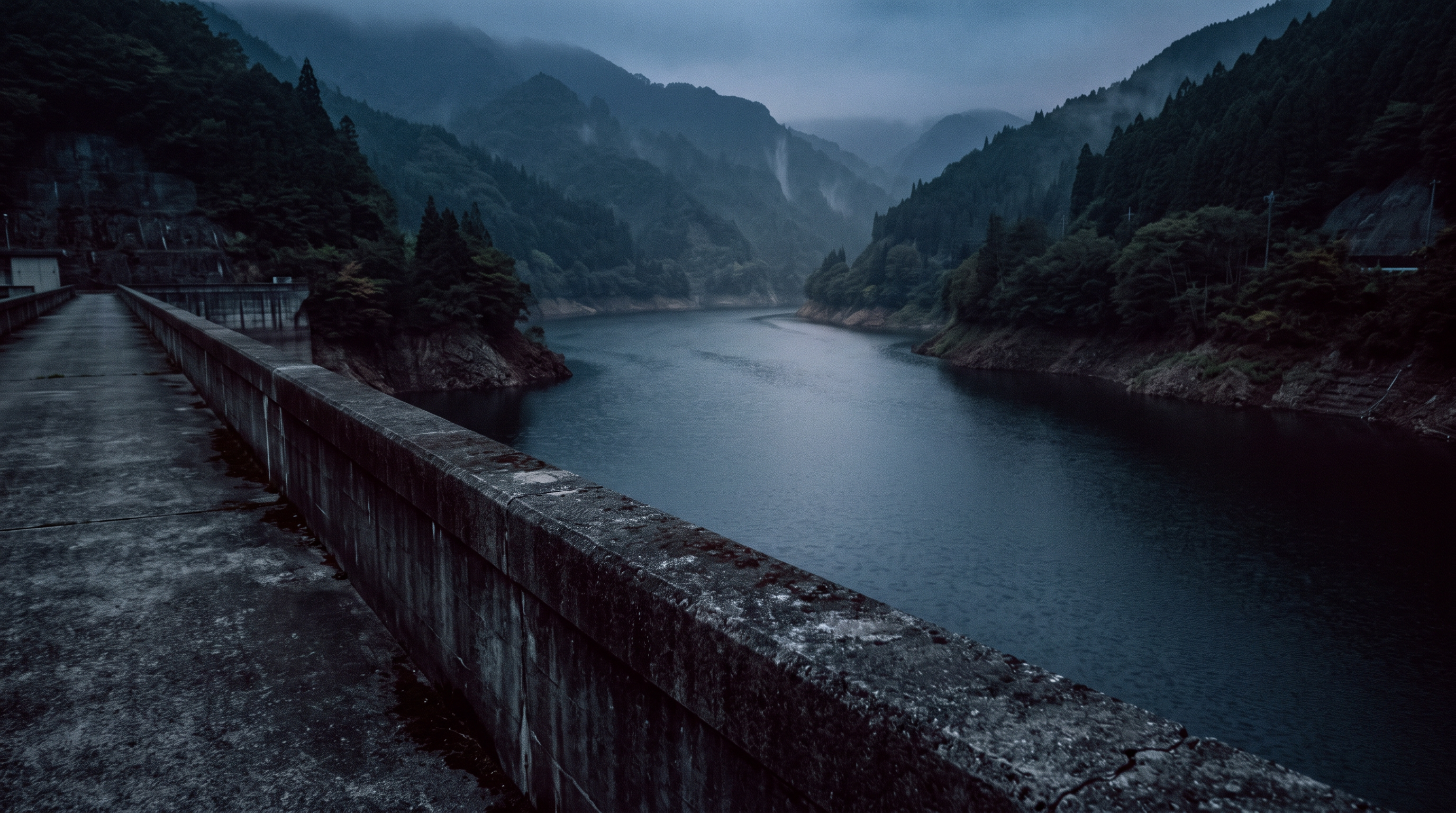
The text for Urayama Dam on the National Haunted Map includes a story about someone feeling "as if someone is watching them" near the public restrooms. Furthermore, it states that a car heading there "gets into an accident of unknown cause." The physical sensation of feeling someone's presence and the car incident are different things to verify, and neither claim can be supported by simply having descriptions of the same facility.
Source of the rumor and date of verification
The source I referenced was the description of Urayama Dam in the National Haunted Map. While a toilet is mentioned, the building's official name, the date of observation, and the records of those who experienced it are not provided. Regarding the accident, I could not confirm the specific date of occurrence or any reference to the original records.
- Nationwide Haunted Map: Urayama Dam(Confirmed on 2026-11-10) — Paranormal phenomena rumored to occur at Urayama Dam
A female ghost appears
The following paranormal phenomena occur in a public restroom located beyond a dam that is open to the public.
Even those without psychic abilities may feel like they are being watched or experience chills when approaching it.
A car attempting to reach this haunted spot was involved in an accident of unknown origin.
Check if there are ghosts nearby
Things that could be confirmed from official and primary source materials
The Arakawa Dam Management Office of the Japan Water Agency classifies the Urayama Dam as a gravity-type concrete dam. The locations of the left and right banks are Arakawa Uedano and Arakawa Kuna, Chichibu City, respectively. Specifications such as dam height and crest length are also listed, making it a useful document for confirming the dam's scale. However, this specifications table does not record the locations where public toilets were sighted or any car accidents.
- Japan Water Agency Arakawa Dam Management Office(Confirmed on 2026-11-10) — Dam Specifications | Urayama Dam Arakawa Dam General Management Office (Urayama Dam, Takizawa Dam) Large Medium Small Sitemap Site Policy/Privacy Policy Home About Arakawa General Management Office Real-time Information Topics Bidding/Contract Information Urayama Dam Takizawa Dam Arakawa Vision Dams and Environment Data Collection Top -> Urayama Dam -> Dam Specifications Current Rainfall/Water Storage Level Real-time Dam Operation Status Urayama Dam Tour Guide Takizawa Dam Tour Guide Chichibu 4 Dams Map Chichibu 4 Dams Card Protecting the Environment of Okuchichibu Momiji Lake Video ★ Takizawa Dam Construction Machinery Outreach Lectures Q&A Access Map Urayama Dam Dam Specifications Dam Purpose Various Dam Facilities Project Progress Characteristics of Dam Construction Shimizu Bypass Urayama Dam Tour Guide Chichibu Sakura Lake Usage Guide Dam Facility Guide Dam Surrounding Facilities Guide Dam Specifications Simple Explanation Dam Specifications/Reservoir Specifications Dam Specifications Location: Left bank Right bank Arakawa Uedano, Chichibu City, Saitama Prefecture (formerly Uedano, Arakawa Village, Chichibu District, Saitama Prefecture) Arakawa Kuna, Chichibu City, Saitama Prefecture (formerly Kuna, Arakawa Village, Chichibu District, Saitama Prefecture) Type Gravity concrete dam Dam height 156m Crest length 372m Dam volume 1,750,000 m3 Reservoir specifications Catchment area 51.6 km2 Reservoir area 1.2 km2 Normal maximum water level EL. 393.3m Flood storage preparation water level EL. 372.0m Minimum water level EL. 304.0m Total Storage Capacity 58 million m3 Simple Explanation Dam Type Gravity Concrete Dam A dam made of concrete that supports the water pressure from the lake with the weight of the dam Dam Volume The volume of the dam Approximately 1.4 times the volume of Tokyo Dome Crest Length The length of the dam in the direction of the left and right banks Dam Height The height of the dam Half the height of Tokyo Tower Dam Crest The highest point of the dam Foundation Bedrock The lowest point of the dam Arakawa Dam General Management Office (Urayama Dam/Takizawa Dam) 4041 Arakawa Kuna, Chichibu City, Saitama Prefecture 369-1801 TEL: 0494-23-1431 (Main) Inquiries
Points of agreement/contradictions
While the locations of the left and right banks of the dam can be confirmed, this does not indicate the location of the public toilets mentioned in the text. Furthermore, there is no direct correspondence between the size and structure of the facilities and the statement that the cause of the accident is unknown. The mere fact that the dam names are the same does not support the explanation for the presence or accident.
| The rumored atomic claim | Matching results | reason | Corresponding documents |
|---|---|---|---|
| I feel like someone is watching me | Unconfirmed | There are no observation conditions or records from the same time to compare subjective experiences, and the data cannot be corroborated by the dam's specifications. | No official data available for direct comparison. |
| I was involved in an accident with an unknown cause. | Unconfirmed | Without references to the dates and investigation records of individual accidents, it is impossible to confirm the occurrence or cause from facility documents. | No official data available for direct comparison. |
Alternative interpretation
To compare situations where a presence was perceived, records of surrounding sounds, visibility, lighting, and physical condition are necessary. For car accidents, separate records such as the date, time, and road conditions are required. In this case, both are lacking, and therefore, the subjective experience and the accident cannot be explained by the same cause.
Scope and limitations of the investigation
We are comparing the facility specifications with the rumored articles. Individual facility information for public restrooms, lighting conditions at the time, and road accident records are not included in the materials used. The phrase "open to the public" in the articles is not treated as a guarantee of the current operating hours or access conditions for all facilities.
Verification result: Unmeasurable
While the location and structure of the dam can be confirmed, there are no records that can be linked to any signs of activity or vehicle incidents. Since the location of the toilets has not been uniquely identified, we will not use eyewitness accounts to confirm the existence of the facilities and will consider it impossible to determine. This does not constitute a determination of the occurrence or cause of the accident.
Document Quality Score
| Source transparency | 30/30 | The administrator's individual specifications sheet allows you to associate the target dam with the entity that publishes the data. |
|---|---|---|
| Historical and spatial context | 22/25 | The left and right banks and their structures are clearly defined, but the spatial correspondence with the rumored buildings and events remains unconfirmed. |
| Safety information | 9/20 | While there is an access point to facility information, the terms of use are not determined solely by the specifications sheet that is adopted. |
| Newness of information | 10/15 | I checked the saved specifications, but I cannot determine the update dates for each item in the main text. |
| Transparency of the source of rumors | 3/10 | While the scenes involving a toilet and a car are clear, the original records of the parties involved and the date and time are lacking. |
| total | 74/100 | This is the overall quality of the materials. It does not represent the degree of truthfulness or danger associated with the supernatural phenomena. |
Safety information and maps
The addresses on the left and right banks of the dam and the general visiting routes are not the same information. Please prioritize facility usage information and on-site closure signs, and do not use this representative location for nighttime exploration or to approach management facilities.
Map location: This is a representative location of facilities and terrain. It does not indicate sighting locations, land divisions, entrances, or accessible areas.
What I learned by crossing locations
At Kamakita Lake, the rumored origin as an agricultural reservoir matched the town's explanation. However, this does not corroborate the eyewitness accounts of the parking lot. The specifications for Urayama Dam and Gōkaku Dam are documents that examine the positional relationship between the facilities and the reservoirs, but they do not record events related to toilets or bridges. Reading the lake, the dam itself, the parking lot, and the bridge as separate entities is a clue when comparing these three locations.
summary
While we have found specific information regarding the formation of Kamakita Lake, records comparing its appearance and presence are lacking at all three locations. At Urayama, we need to record the location of the toilet, and at Gōkaku, we need to record the difference between the rumored bridge and the representative pin. In the next investigation, it will be important not to move the address listed in the facility guide to the sighting location, or to conclude that there is a connection to the supernatural phenomenon based solely on the description of an accident.
FAQ
Does the partial match with Kamakita Lake mean that a male spirit has been confirmed?
No. I meant that the fact that it was originally an agricultural reservoir matched the town's records. It does not support the claim that a male ghost appears in the parking lot.
Is the representative location of Urayama Dam the same as the rumored toilet location?
That's incorrect. This map shows the general location of the dam and does not indicate the location of the public restroom mentioned in the text. The specifications of the dam itself are not sufficient to identify the building or the scene of the sighting.
What is the relationship between Gōkaku Dam and Nishichichibu Momoko Lake?
According to the Saitama Prefecture specifications table, Nishichichibu Momoko is the name of the reservoir of the Gōkaku Dam. This correspondence can be confirmed, but the name of the lake does not determine the rumored bridge or the current traffic conditions.
How to read this article and safety precautions
" [2026 Latest] Top 3 Ranking of Paranormal Rumors at 3 Lakes and Dams in Saitama This is an article compiled by the Horror Tales File editorial team as a story, based on publicly available information, rumors circulating in the community, and information submitted by readers. It does not definitively state the authenticity of paranormal phenomena.
- We do not recommend visiting restricted areas, private property, abandoned buildings, or dangerous locations at night.
- If you go to the site, always prioritize compliance with laws and regulations, instructions from facility managers, and consideration for nearby residents.
- You can submit personal experiences, correction requests, and deletion requests through the "Personal Experiences/Information Submission" or "Contact Us" sections.
View editorial policy / Please share your experiences and information here. / inquiry